Where is Grant County, Arkansas?
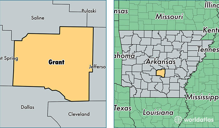
Grant County is a county equivalent area found in Arkansas, USA. The county government of Grant is found in the county seat of Sheridan.
With a total 1,639.28 sq. km of land and water area, Grant County, Arkansas is the 1634th largest county equivalent area in the United States. Home to 18,144 people, Grant County has a total 7781 households earning 49004 on average per year.
Grant County, Arkansas - Quick Facts
| FIPS Code | 5053 |
| Area Codes | 870 |
| Time Zone | CST |
| Major Cities | Sheridan (population: 12,090), Prattsville (population: 1,419), Leola (population: 1,233), Grapevine (population: 1,077), Poyen (population: 820) |
| Land Area | 7,005 sq miles |
| Water Area | 632 sq miles |
| Household Income | $49,004 |
| Housing Units | 7,781 |
| Median Home Value | $100,800 |
| High School Grads | 85% of population |
| Holders of Bachelors Degrees | 18% of population |
| Retail Spending | $6,148 per capita |
| Food & Accomodation Sales | $10,188 per capita |
This page was last updated on June 30, 2016.