Where is Lawrence County, Arkansas?
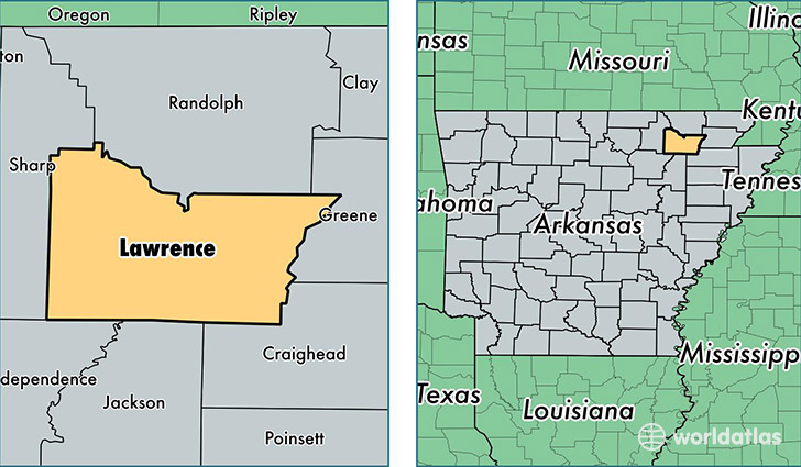
Lawrence County is a county equivalent area found in Arkansas, USA. The county government of Lawrence is found in the county seat of Walnut Ridge.
With a total 1,534.16 sq. km of land and water area, Lawrence County, Arkansas is the 1767th largest county equivalent area in the United States. Home to 16,931 people, Lawrence County has a total 7957 households earning 32239 on average per year.
Lawrence County, Arkansas - Quick Facts
| FIPS Code | 5075 |
| Area Codes | 870 |
| Time Zone | CST |
| Major Cities | Walnut Ridge (population: 6,991), Hoxie (population: 2,996), Smithville (population: 1,453), Black Rock (population: 1,314), Ravenden (population: 1,305), Strawberry (population: 1,099), Powhatan (population: 737), Alicia (population: 486), Lynn (population: 249), Saffell (population: 223) |
| Land Area | 6,537 sq miles |
| Water Area | 588 sq miles |
| Household Income | $32,239 |
| Housing Units | 7,957 |
| Median Home Value | $59,800 |
| High School Grads | 77% of population |
| Holders of Bachelors Degrees | 10% of population |
| Retail Spending | $9,703 per capita |
| Food & Accomodation Sales | $9,250 per capita |
This page was last updated on June 30, 2016.