Where is Independence County, Arkansas?
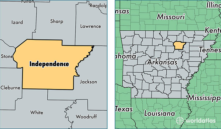
Independence County is a county equivalent area found in Arkansas, USA. The county government of Independence is found in the county seat of Batesville.
With a total 1,998.23 sq. km of land and water area, Independence County, Arkansas is the 1236th largest county equivalent area in the United States. Home to 36,959 people, Independence County has a total 16139 households earning 35026 on average per year.
Independence County, Arkansas - Quick Facts
| FIPS Code | 5063 |
| Area Codes | 870,501 |
| Time Zone | CST |
| Major Cities | Batesville (population: 25,357), Newark (population: 2,261), Pleasant Plains (population: 1,679), Floral (population: 1,331), Sulphur Rock (population: 1,298), Locust Grove (population: 991), Desha (population: 589), Oil Trough (population: 551), Charlotte (population: 409), Cord (population: 379) |
| Land Area | 14,270 sq miles |
| Water Area | 764 sq miles |
| Household Income | $35,026 |
| Housing Units | 16,139 |
| Median Home Value | $88,900 |
| High School Grads | 83% of population |
| Holders of Bachelors Degrees | 14% of population |
| Retail Spending | $11,132 per capita |
| Food & Accomodation Sales | $34,685 per capita |
| Universities and Colleges | Lyon College |
This page was last updated on June 30, 2016.