Where is Greene County, Arkansas?
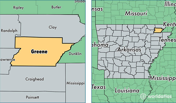
Greene County is a county equivalent area found in Arkansas, USA. The county government of Greene is found in the county seat of Paragould.
With a total 1,501.06 sq. km of land and water area, Greene County, Arkansas is the 1837th largest county equivalent area in the United States. Home to 43,694 people, Greene County has a total 18253 households earning 38413 on average per year.
Greene County, Arkansas - Quick Facts
| FIPS Code | 5055 |
| Area Codes | 870 |
| Time Zone | CST |
| Major Cities | Paragould (population: 36,952), Marmaduke (population: 3,062), Lafe (population: 961), Beech Grove (population: 649), Delaplaine (population: 457), Peach Orchard (population: 193) |
| Land Area | 16,870 sq miles |
| Water Area | 578 sq miles |
| Household Income | $38,413 |
| Housing Units | 18,253 |
| Median Home Value | $99,100 |
| High School Grads | 83% of population |
| Holders of Bachelors Degrees | 15% of population |
| Retail Spending | $9,257 per capita |
| Food & Accomodation Sales | $37,645 per capita |
| Universities and Colleges | Crowley's Ridge College |
This page was last updated on June 30, 2016.