Where is Craighead County, Arkansas?
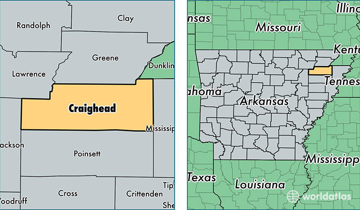
Craighead County is a county equivalent area found in Arkansas, USA. The county government of Craighead is found in the county seat of Jonesboro.
With a total 1,845.83 sq. km of land and water area, Craighead County, Arkansas is the 1412th largest county equivalent area in the United States. Home to 102,518 people, Craighead County has a total 42610 households earning 41393 on average per year.
Craighead County, Arkansas - Quick Facts
| FIPS Code | 5031 |
| Area Codes | 870 |
| Time Zone | CST |
| Major Cities | Jonesboro (population: 79,880), Bono (population: 5,976), Brookland (population: 3,689), Lake City (population: 3,383), Bay (population: 2,372), Monette (population: 2,031), Caraway (population: 1,807), Cash (population: 572), Black Oak (population: 458), State University (population: 313) |
| Land Area | 39,582 sq miles |
| Water Area | 707 sq miles |
| Household Income | $41,393 |
| Housing Units | 42,610 |
| Median Home Value | $120,700 |
| High School Grads | 85% of population |
| Holders of Bachelors Degrees | 24% of population |
| Retail Spending | $15,768 per capita |
| Food & Accomodation Sales | $146,652 per capita |
This page was last updated on June 30, 2016.