Where is Randolph County, Arkansas?
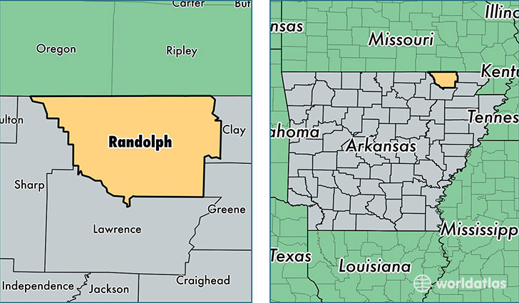
Randolph County is a county equivalent area found in Arkansas, USA. The county government of Randolph is found in the county seat of Pocahontas.
With a total 1,699.13 sq. km of land and water area, Randolph County, Arkansas is the 1555th largest county equivalent area in the United States. Home to 17,571 people, Randolph County has a total 8494 households earning 34418 on average per year.
Randolph County, Arkansas - Quick Facts
| FIPS Code | 5121 |
| Area Codes | 870 |
| Time Zone | CST |
| Major Cities | Pocahontas (population: 12,490), Imboden (population: 2,077), Maynard (population: 1,817), Ravenden Springs (population: 830), Biggers (population: 596), Reyno (population: 407), Warm Springs (population: 389), O Kean (population: 212) |
| Land Area | 6,784 sq miles |
| Water Area | 652 sq miles |
| Household Income | $34,418 |
| Housing Units | 8,494 |
| Median Home Value | $74,100 |
| High School Grads | 80% of population |
| Holders of Bachelors Degrees | 12% of population |
| Retail Spending | $7,618 per capita |
| Food & Accomodation Sales | $13,904 per capita |
| Universities and Colleges | Black River Technical College |
This page was last updated on June 30, 2016.