Where is Montgomery County, Arkansas?
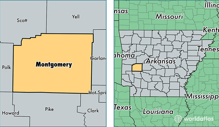
Montgomery County is a county equivalent area found in Arkansas, USA. The county government of Montgomery is found in the county seat of Mount Ida.
With a total 2,072.74 sq. km of land and water area, Montgomery County, Arkansas is the 1177th largest county equivalent area in the United States. Home to 9,082 people, Montgomery County has a total 5706 households earning 31345 on average per year.
Montgomery County, Arkansas - Quick Facts
| FIPS Code | 5097 |
| Area Codes | 870 |
| Time Zone | CST |
| Major Cities | Mount Ida (population: 3,084), Norman (population: 1,361), Oden (population: 987), Caddo Gap (population: 795), Story (population: 779), Sims (population: 370), Pencil Bluff (population: 310) |
| Land Area | 3,507 sq miles |
| Water Area | 780 sq miles |
| Household Income | $31,345 |
| Housing Units | 5,706 |
| Median Home Value | $76,400 |
| High School Grads | 82% of population |
| Holders of Bachelors Degrees | 13% of population |
| Retail Spending | $3,570 per capita |
| Food & Accomodation Sales | $18,197 per capita |
This page was last updated on June 30, 2016.