Where is Clark County, Arkansas?
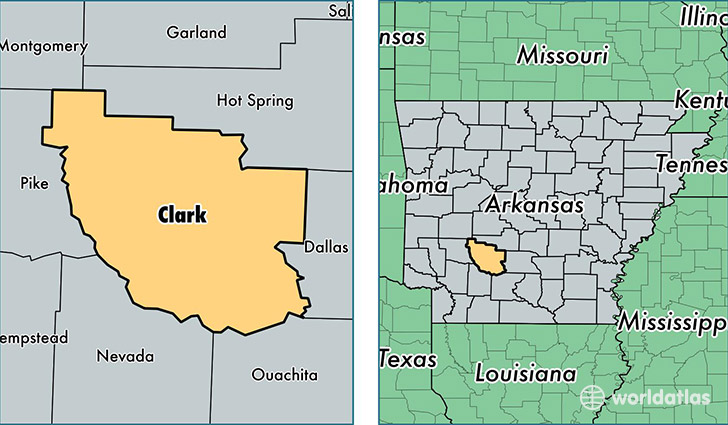
Clark County is a county equivalent area found in Arkansas, USA. The county government of Clark is found in the county seat of Arkadelphia.
With a total 2,286.52 sq. km of land and water area, Clark County, Arkansas is the 1014th largest county equivalent area in the United States. Home to 22,576 people, Clark County has a total 10364 households earning 32721 on average per year.
Clark County, Arkansas - Quick Facts
| FIPS Code | 5019 |
| Area Codes | 870 |
| Time Zone | CST |
| Major Cities | Arkadelphia (population: 16,628), Gurdon (population: 4,079), Amity (population: 3,646), Okolona (population: 789), Whelen Springs (population: 33) |
| Land Area | 8,717 sq miles |
| Water Area | 866 sq miles |
| Household Income | $32,721 |
| Housing Units | 10,364 |
| Median Home Value | $86,600 |
| High School Grads | 86% of population |
| Holders of Bachelors Degrees | 21% of population |
| Retail Spending | $10,461 per capita |
| Food & Accomodation Sales | $32,727 per capita |
This page was last updated on June 30, 2016.