Where is Fayette County, Ohio?
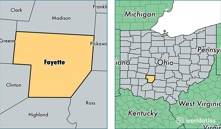
Fayette County is a county equivalent area found in Ohio, USA. The county government of Fayette is found in the county seat of Washington Court House.
With a total 1,054.16 sq. km of land and water area, Fayette County, Ohio is the 2564th largest county equivalent area in the United States. Home to 28,800 people, Fayette County has a total 12627 households earning 37619 on average per year.
Fayette County, Ohio - Quick Facts
| FIPS Code | 39047 |
| Area Codes | 740 |
| Time Zone | EST |
| Major Cities | Washington Court House (population: 22,189), Jeffersonville (population: 2,297), Bloomingburg (population: 1,676), Milledgeville (population: 110) |
| Land Area | 11,120 sq miles |
| Water Area | 406 sq miles |
| Household Income | $37,619 |
| Housing Units | 12,627 |
| Median Home Value | $107,000 |
| High School Grads | 83% of population |
| Holders of Bachelors Degrees | 14% of population |
| Retail Spending | $21,602 per capita |
| Food & Accomodation Sales | $38,947 per capita |
This page was last updated on June 30, 2016.