Where is Madison County, Ohio?
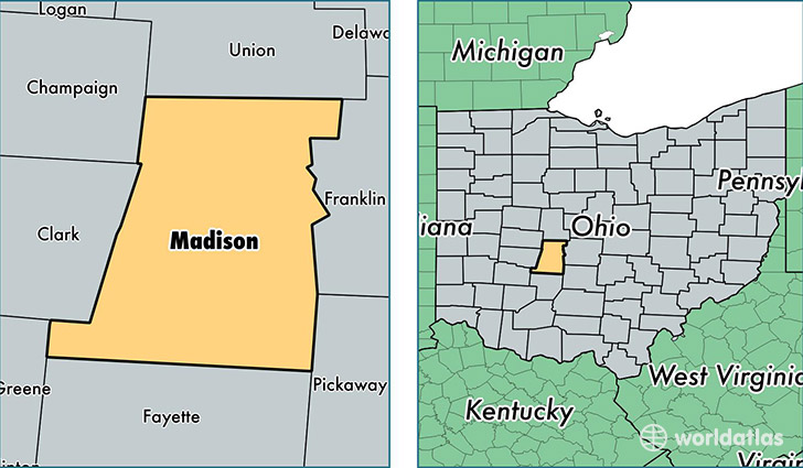
Madison County is a county equivalent area found in Ohio, USA. The county government of Madison is found in the county seat of London.
With a total 1,208.57 sq. km of land and water area, Madison County, Ohio is the 2297th largest county equivalent area in the United States. Home to 43,918 people, Madison County has a total 15864 households earning 54956 on average per year.
Madison County, Ohio - Quick Facts
| FIPS Code | 39097 |
| Area Codes | 937,614,740 |
| Time Zone | EST |
| Major Cities | London (population: 23,867), Plain City (population: 12,563), West Jefferson (population: 6,865), Mount Sterling (population: 5,678), South Solon (population: 963), Irwin (population: 661), Sedalia (population: 319) |
| Land Area | 16,957 sq miles |
| Water Area | 466 sq miles |
| Household Income | $54,956 |
| Housing Units | 15,864 |
| Median Home Value | $144,100 |
| High School Grads | 86% of population |
| Holders of Bachelors Degrees | 18% of population |
| Retail Spending | $22,988 per capita |
| Food & Accomodation Sales | $38,403 per capita |
This page was last updated on June 30, 2016.