Where is Clinton County, Ohio?
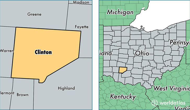
Clinton County is a county equivalent area found in Ohio, USA. The county government of Clinton is found in the county seat of Wilmington.
With a total 1,067.84 sq. km of land and water area, Clinton County, Ohio is the 2530th largest county equivalent area in the United States. Home to 41,835 people, Clinton County has a total 18007 households earning 46048 on average per year.
Clinton County, Ohio - Quick Facts
| FIPS Code | 39027 |
| Area Codes | 937 |
| Time Zone | EST |
| Major Cities | Wilmington (population: 22,178), Blanchester (population: 9,243), Sabina (population: 4,755), Clarksville (population: 3,873), New Vienna (population: 3,367), Midland (population: 1,581), Martinsville (population: 1,574), Port William (population: 270), Reesville (population: 97), Cuba (population: 34) |
| Land Area | 16,153 sq miles |
| Water Area | 408 sq miles |
| Household Income | $46,048 |
| Housing Units | 18,007 |
| Median Home Value | $118,600 |
| High School Grads | 88% of population |
| Holders of Bachelors Degrees | 15% of population |
| Retail Spending | $10,489 per capita |
| Food & Accomodation Sales | $62,173 per capita |
This page was last updated on June 30, 2016.