Maps of Namibia
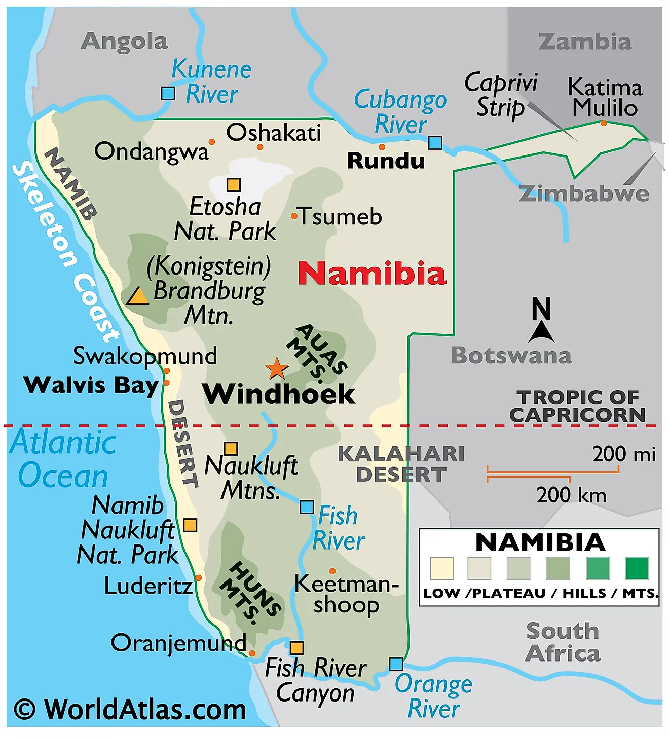
Sitting along the coast of Southern Africa is the nation of Namibia. Covering an area of 824,292 km² Namibia is the 34th largest nation in the world and the 2nd least densely populated. Namibia shares a border with the surrounding countries of South Africa, Botswana, Zimbabwe, Zambia, and Angola. The geography of Namibia is quite unique. It has a diverse environment that is home to deserts, marshlands, savannas, mountains, and river valleys. Namibia's extent can be divided into three topographic zones from west to east. The coastal Namib Desert runs along the country's coast on the Atlantic Ocean. It gives way to the Central Plateau to the west with the Kalahari Desert located further inwards.
The Namib Desert is both rocky and sandy and covers the entire coastline of Namibia. The coastline is sometimes referred to as the Skeleton Coast of Namibia, as shown on the map, is infamous for its dense fog that results in numerous shipwrecks in the region. The desert has an average width of around 50 to 80 miles and is home to some of the largest sand dunes in the world.
The Central Plateau's elevation varies from 975 to 1,980 m. Most of the country's farmlands are confined to this region. Large parts of the plateau are covered by savanna, scrub, and woodlands. To the north, the plateau gives way to several river valleys like Kunene and Okavango. The Orange River Valley lies to the south of this plateau. The 2,573 m tall Mount Brand, Namibia's highest mountain, is located on the western edge of the plateau. The lowest point in the country is the Atlantic Ocean at 0 m or sea level.
The Huns and Auas Mountains can be found further inland along with the Fish River. Due to the harsh and arid nature of Namibia, many of the towns and urban centers of the nation can be found within close proximity to the nation's three major rivers, the Swakop, Kuiseb, and Fish. The capital city of Namibia, Windhoek can be found just north of the Fish River near the Auas Mountains.
Regions of Namibia Map
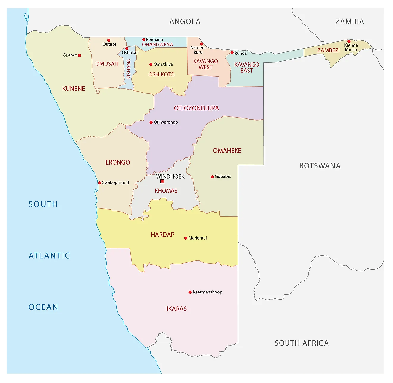
Namibia is divided into 14 regions for administrative efficiency. The political map of the country represents these divisions and their capital cities. In alphabetical order, these regions are as follows: Erongo, Hardap, //Karas, Kavango East, Kavango West, Khomas, Kunene, Ohangwena, Omaheke, Omusati, Oshana, Oshikoto, Otjozondjupa, Zambezi; note - the Karas Region was renamed //Karas in September 2013 to include the alveolar lateral click of the Khoekhoegowab language.
With an area of 161,514sq. km, the //Karas Region is the largest by area in the country while the Khomas Region is the most populous one. Windhoek, Namibia's capital and largest city is located in the Khomas Region.
Where is Namibia?
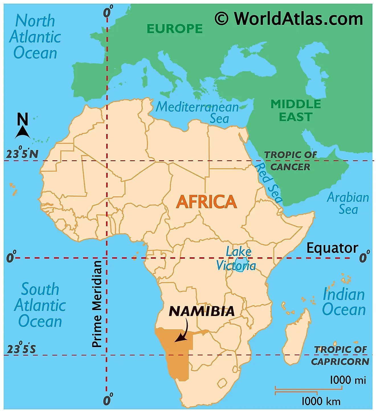
Namibia is a Southern African country located on the southwestern coast of the continent in the Southern and Eastern Hemispheres of Earth. It shares its land borders with four African countries. It is bounded by Zambia and Angola to the north, South Africa to the east and south, and Botswana to the east. A small stretch of the Zambezi River (less than 200 m) separates Namibia from Zimbabwe. The Atlantic Ocean borders it to the west.
Namibia Bordering Countries: Zambia, Zimbabwe, Angola, Botswana, South Africa.
Regional Maps: Map of Africa
Outline Map of Namibia
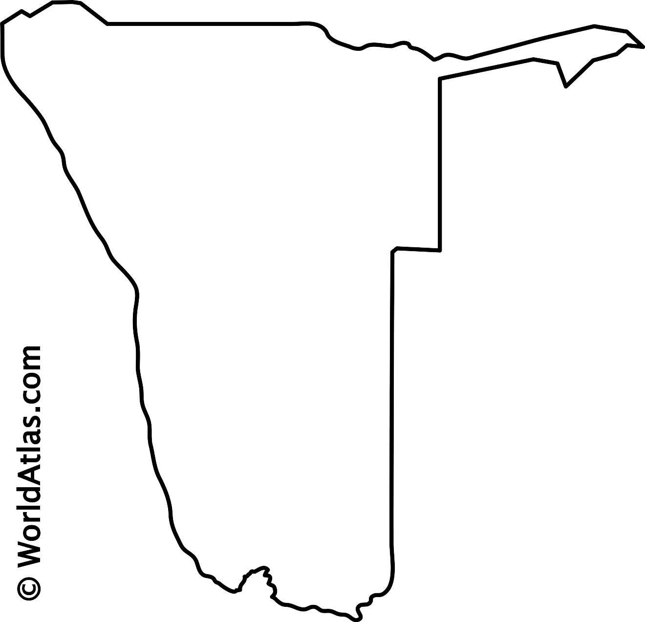
The blank outline map respresents mainland Namibia with the Caprivi Strip. The country also has several islands on the Atlantic Ocean. The above map can be downloaded for free, and used for educational purposes like map-pointing activities.
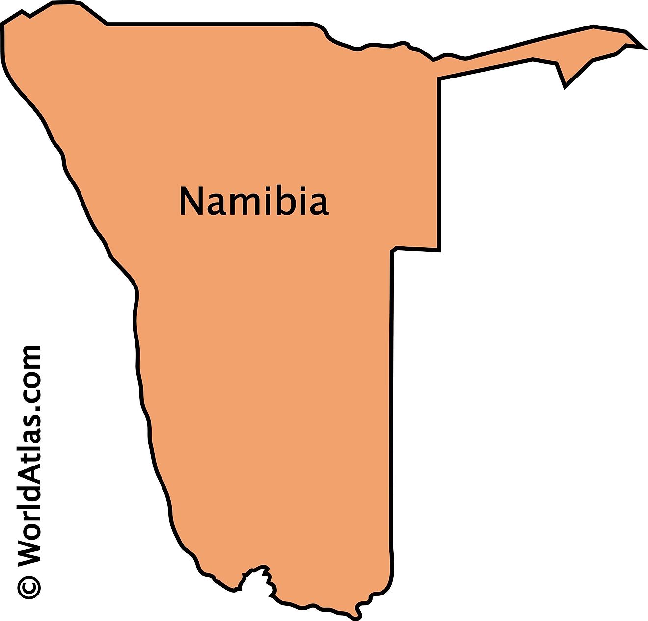
The outline map of Namibia reresents mainland Namibia, a Southern African nation. With a long coastline on the Atlantic Ocean, Namibia has several islands as well which are not visible in the above map. Another interesting feature found on the map above is the Caprivi Strip, a geographic salient protruding from the country's northeastern corner.
Key Facts
| Legal Name | Republic of Namibia |
|---|---|
| Flag |
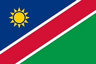
|
| Capital City | Windhoek |
| 22 34 S, 17 05 E | |
| Total Area | 824,292.00 km2 |
| Land Area | 823,290.00 km2 |
| Water Area | 1,002.00 km2 |
| Population | 2,494,530 |
| Largest City |
Windhoek (477,267) |
| Currency | Namibian dollars (NAD) |
| GDP | $12.37 Billion |
| GDP Per Capita | $4,957.46 |
This page was last updated on December 26, 2023
