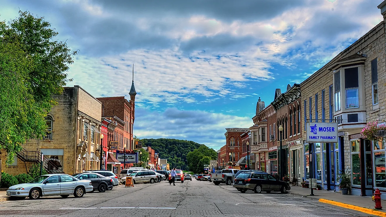
The Most Charming River Towns In Hawaii
Most of Hawaii's water story gets told at the shoreline, but the islands hold something the postcards skip: short, fast rivers that fall straight off volcanic peaks and run through valleys instead of along beaches. Kauai alone holds the only navigable river in the state. These waterways are nothing like the long, barge-carrying rivers of the mainland. They drain some of the wettest country on Earth, cut waterfalls into lava rock, and still feed the taro patches and salt ponds that families have worked for generations. The seven towns below all sit where that freshwater meets daily life, on Kauai, Oahu, and the Big Island.
Wailua, Kauai

The Wailua River is the only river in Hawaii large enough for tour boats, which is why this stretch of Kauai's east side feels built around the water rather than the coast. The river gathers on the slopes of Mount Wai'ale'ale, among the rainiest places on the planet, and runs about 20 miles to Wailua Bay, fed along the way by the forks and streams that carved the valley.
Royalty knew the value of that valley long before the boat tours. Wailua served as a seat of power for the ali'i, and the Wailua Complex of Heiau preserves the temple sites, birthing stones, and rock carvings that mark it as sacred ground. The river still does the work of getting people upstream: kayakers and guided open-air boats head for Fern Grotto, a lava-rock cave hung with ferns, while the road above the valley reaches the overlooks for Wailua Falls and 'Opaeka'a Falls, both fed by the same river system. Note that the state now charges non-resident visitors a fee at Wailua River State Park sites, including the 'Opaeka'a overlook.
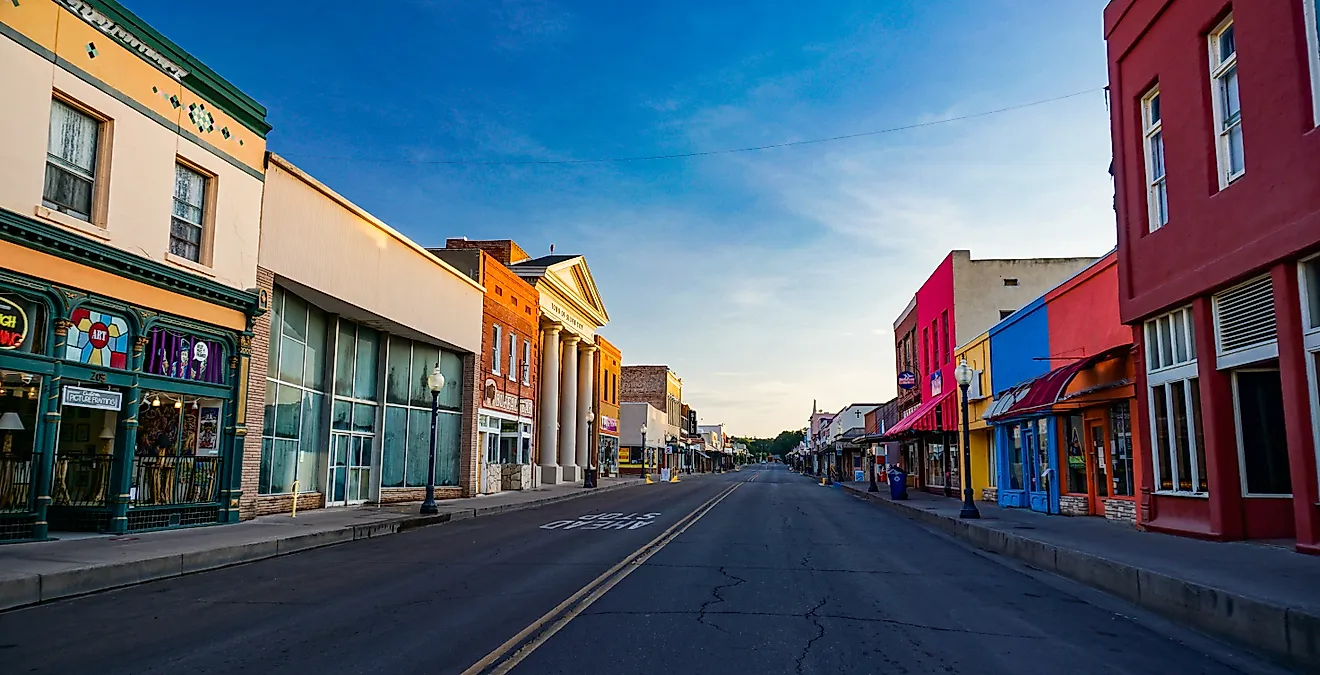
Hanapepe, Kauai

"Kauai's biggest little town" is how Hanapepe bills itself, and the plantation-era bones back up the claim. Wooden storefronts lean with age along the Hanapepe River, and the town's signature crossing, the Hanapepe Swinging Bridge, still sways underfoot as it carries you over the slow water to the far bank.
The galleries and studios packed into the old downtown turn Friday into the town's busiest night, when Art Night fills the street with vendors and music. The river and the land around it carry an older trade, too. At the Hanapepe Salt Ponds, Native Hawaiian families still harvest sea salt by hand, a practice held within specific families for generations and not sold commercially. That mix, working salt flats on one edge of town and a gallery walk on the other, is what gives a place this small its unusual range.
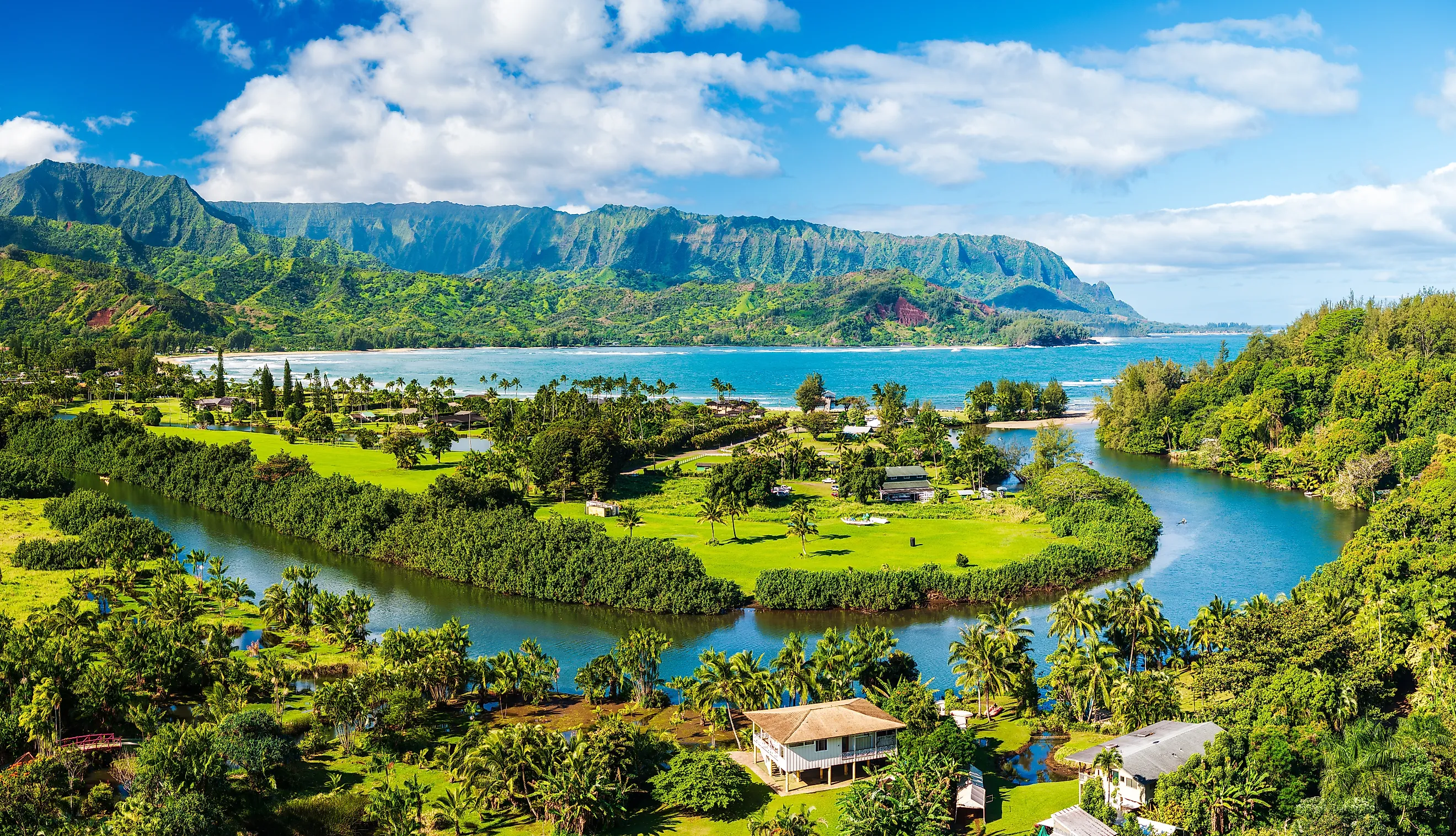
Hanalei, Kauai

Taro is the reason Hanalei looks the way it does. The Hanalei River runs through a broad valley of lo'i, the flooded taro terraces that supply a large share of Hawaii's poi, framed by ridges that hold mist most mornings. Much of the valley sits within a national wildlife refuge established for endangered Hawaiian waterbirds, so the patchwork of green is protected as habitat as well as farmland.
Down where the river reaches Hanalei Bay, the pace stays slow. Paddlers work the calm river sections, farmers tend patches their families have cultivated for generations, and the cluster of surf shops and cafes near the shore keeps the small town busy without rushing it. Hanalei Pier reaches out into the bay and draws a crowd at sunset, when the water goes gold and the mountains drop into silhouette. For the cultural side of the valley, Limahuli Garden and Preserve, a few miles up the coast, lays out native Hawaiian plants on terraces that predate Western contact.
Hilo, Big Island

Rain is the engine in Hilo. The wet eastern coast of the Big Island makes this one of the rainiest cities in the United States, and all that water comes down the Wailuku River, which behaves nothing like the gentle streams of Kauai. It cuts through lava rock, drops over ledges, and churns through the rock basins known as the Boiling Pots.
Rainbow Falls sits right at the edge of town, spilling into a basin ringed by rainforest, and the Boiling Pots a short drive upstream run their hardest after a heavy rain. Back in the center, the Hilo Farmers Market trades in local produce, flowers, and crafts on a scale that tells you this is a working town, not a resort. Lili'uokalani Gardens, a waterfront park laid out in Japanese style with the help of Hilo's large Japanese-American community, gives the city a quiet counterpoint to the falls. The constant rain keeps the whole place green.
Haleiwa, Oahu

The Anahulu River meets the North Shore at Haleiwa, and the meeting sets the town's two moods. Inland, the river is slow enough for kayakers and paddleboarders to drift beneath ironwood trees. A few hundred yards on, the same coastline turns into the surf break that put the North Shore on the map.
The town's twin-arch Rainbow Bridge crosses the Anahulu and frames the calm water, the postcard most visitors leave with. Around it sit the surf shops, shave ice stands, and galleries housed in old plantation buildings. Sea turtles haul out near Haleiwa Harbor, and Waimea Bay a few miles up the road delivers the big-wave coast in winter and easy swimming in summer. Haleiwa is the rare spot where the river side and the ocean side of Hawaii sit within a block of each other.
Waimea, Kauai

On January 20, 1778, Captain James Cook anchored at the mouth of the Waimea River and came ashore, the first documented European landing in the Hawaiian Islands. The town that grew up around that river mouth still trades on the meeting of history and geology, because the same river drains the red uplands of Waimea Canyon and carried the volcanic soil that colored them.
A statue downtown marks the approximate landing spot, and Pa'ula'ula, also known as Russian Fort Elizabeth, holds the ruins of the 1817 fort just across the river. Most mornings, though, the canyon is the draw. The road climbs to overlooks above Waipo'o Falls and into Waimea Canyon State Park, where the walls fall away in bands of red, orange, and green that earned the canyon its "Grand Canyon of the Pacific" nickname. Back down at sea level, Waimea Pier is the unhurried place to watch the sun drop into the ocean.
Kapaa, Kauai

Kapaa is the lived-in stretch of Kauai's east side, the town where the island's water arrives as a network rather than a single river. The Wailua River system sits just to the south, and smaller streams run down off the interior through and around town on their way to a rugged coast.
That makes Kapaa the everyday counterpart to its showier neighbors. The Ke Ala Hele Makalae coastal path runs the edge of town, a paved route built for walking and cycling with the ocean on one side the whole way. Old Kapaa Town holds the shops and restaurants, the Wailua River and its falls are a short drive south, and the east-facing beaches make this one of the better places on Kauai to catch a sunrise. It is less a single river town than a town the island's water runs through from every direction.
What links these seven places is less the scenery than the continuity. The Wailua valley still holds the heiau of Kauai's royalty, Hanapepe's families still rake the same salt ponds, and Hanalei's lo'i still feed a working taro economy. The rivers here are short and steep, but they carry history, agriculture, and settlement the way the long rivers of the mainland never had to.
Where Hawaii's Water Begins
For a state defined in the popular imagination by its coastline, the river towns make a quiet case for the interior. The freshwater that shapes them starts high on the volcanic peaks, in the rain that buries Wai'ale'ale and the eastern Big Island, and works its way down through valley and town before it ever reaches the surf. Wailua's navigable channel, Hilo's churning Wailuku, Waimea's canyon-cutting flow: each is a different answer to the same question of what water does to a volcanic island once it leaves the clouds.