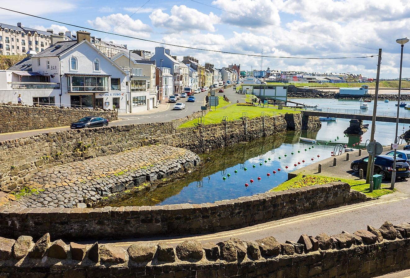
Heber Springs, Arkansas
A towering mountain butte that overlooks the town, a sandy beach, hiking trails, and a lake that stretches for kilometers are just some of the natural features that Heber Springs, Arkansas, is known for. Once a stand-alone health resort infamous for its seven mineral springs and welcoming tourists from nearby states, it is now a summer tourist town known for Sugarloaf Mountain, the rainbow trout-stocked Greers Ferry Lake, and many hiking trails that feature the Little Red River and the iconic Greers Ferry Dam.
Geography Of Heber Springs

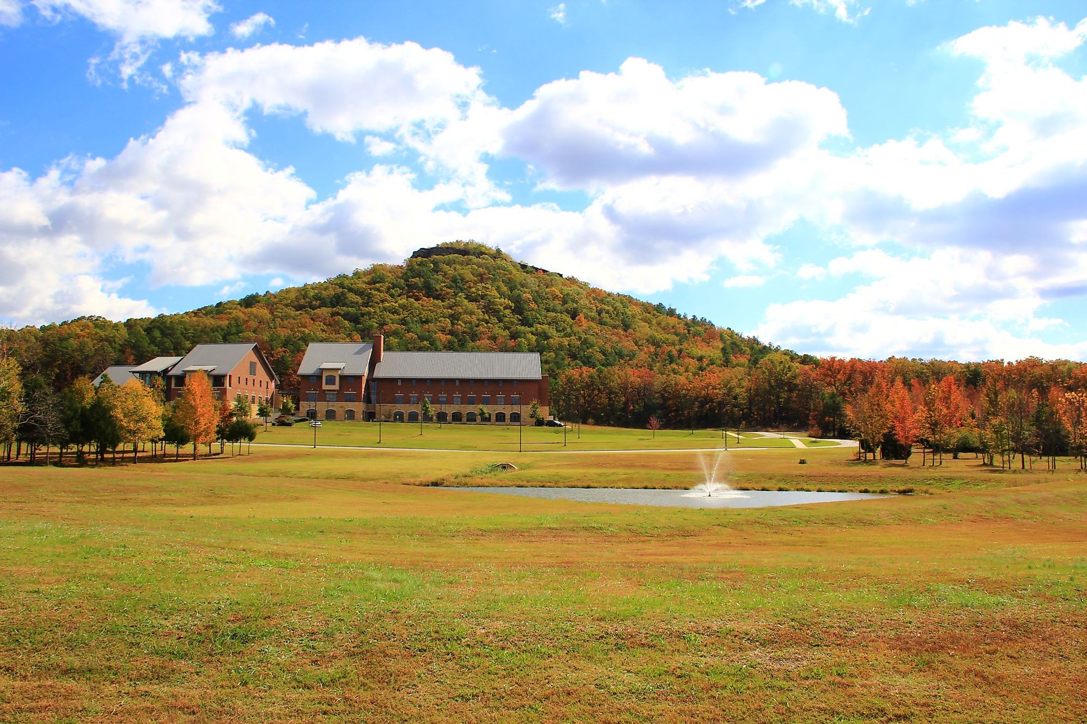
Heber Springs is a small city situated close to the heart of Cleburne County in the US State of Arkansas. The city is located approximately 64 kilometers from Mountain View, 45 kilometers from Searcy, and 100 kilometers from Little Rock. On the eastern side of Heber Springs is a 690 m tall butte known as Sugarloaf Mountain. Hence, this is a part of the geological area called the Ozark foothills that extends from northern Arkansas to southern Missouri. Sugarloaf Mountain is a mass of sandstone that was eroded for thousands of years by the Little Red River. Located on the outskirts of Heber Springs is Greers Ferry Lake, an award-winning reservoir for cleanliness that is set in place by the Greers Ferry Dam.
Climate Of Heber Springs

Heber Springs experiences a humid subtropical climate, with four seasons, but distinctly has a long hot summer. However, winterlike conditions and snowfall are almost non-existent in Heber Springs, with an annual average snowfall of 50.8 mm. Annually, Heber Springs collects a total of 1234 mm of precipitations from mostly rain and hail. July is the warmest month of the year, with an average high of 32.3 degrees Celsius. August is a close second with an average high of 32.2 degrees Celsius. Alternatively, January is the coldest month of the year, with an average low of 0.2 degrees Celsius.
History Of Heber Springs

The 1830s saw early settlers move into the area known as Sugarloaf for the mountain nearby. As part of the larger Louisiana Purchase, John Magness was granted a 40-acre plot of land which contained seven natural springs. Two years later, Magness sold the plot to John T. Jones, who presented a plan to build a health resort like Eureka Springs in front of the new General Assembly of the State of Arkansas in 1837. At first, the sulfur-rich springs weren't known for their health properties, and a pamphlet in 1886 promoted the health resort of Heber Springs with healing benefits that could cure dyspepsia and headaches. In 1881, Jones sold 30-acres of the health resort to Max Frauenthal. Intending to build a town, Frauenthal purchased an additional 680 acres, which were immediately plotted out. When Sugarloaf was incorporated, the pending post office did not like the town's name. Instead, it was named after John T. Jones' son, Dr. Heber Jones.
The Population And Economy Of Heber Springs
Heber Springs has a population of 6,969 inhabitants. Covering a total area of 23.55 sq. km, Heber Springs has a population density of 295.87 persons per sq. km. Furthermore, the median household income is $54,928, with a gross monthly rent of $708. Currently, 15.05% of the population lives below the poverty line, with the average age of a resident being 40.2 years old. On the cost of living index, Heber Springs rates at 79.1, whereas the state of Arkansas is at 86.1.
The economy of Heber Springs is made up of over 3,000 participating workers. The most significant economic sectors are health care and social assistance accounting for 576 employed, accommodations and food services with 504 workers, and manufacturing with 463 workers. The industries with the highest paying jobs are agriculture, forestry, fishing, and hunting, accounting for $137,589 in revenue. This is due to the presence of Greers Ferry Lake and Greers Ferry Dam, which draw in anglers for world-class fishing and hunters from all around the United States. This fishing and game economy has created a thriving tourism sector, supplying a high number of accommodations and food service jobs.
Attractions In Heber Springs

Ruland’s Junction Train Museum
Nestled in the heart of downtown Heber Springs is Ruland’s Junction Train Museum. Designed to appear like an old country depot, such as the original Missouri and North Arkansas depot that stood nearby. Big Ed Ruland loved and collected toy trains and later taught his sons how to collect and repair them. Eventually, they incorporated their collections to make one extensive collection with over a hundred years of memorabilia and collectibles. To this day, Big Ed Ruland operates the Museum, accepting and repairing the miniature toys. The Museum remains open from Tuesday through Saturday and accepts cash for admission only.
Mossy Bluff National Trail Head
A hiking trail that is open all year round, Mossy Bluff National Trail showcases the Little Red River, small waterfalls, and the Greers Ferry Dam from a bluff. This 2.6 km dirt trail is rated easy to moderate and allows pets and bikes.