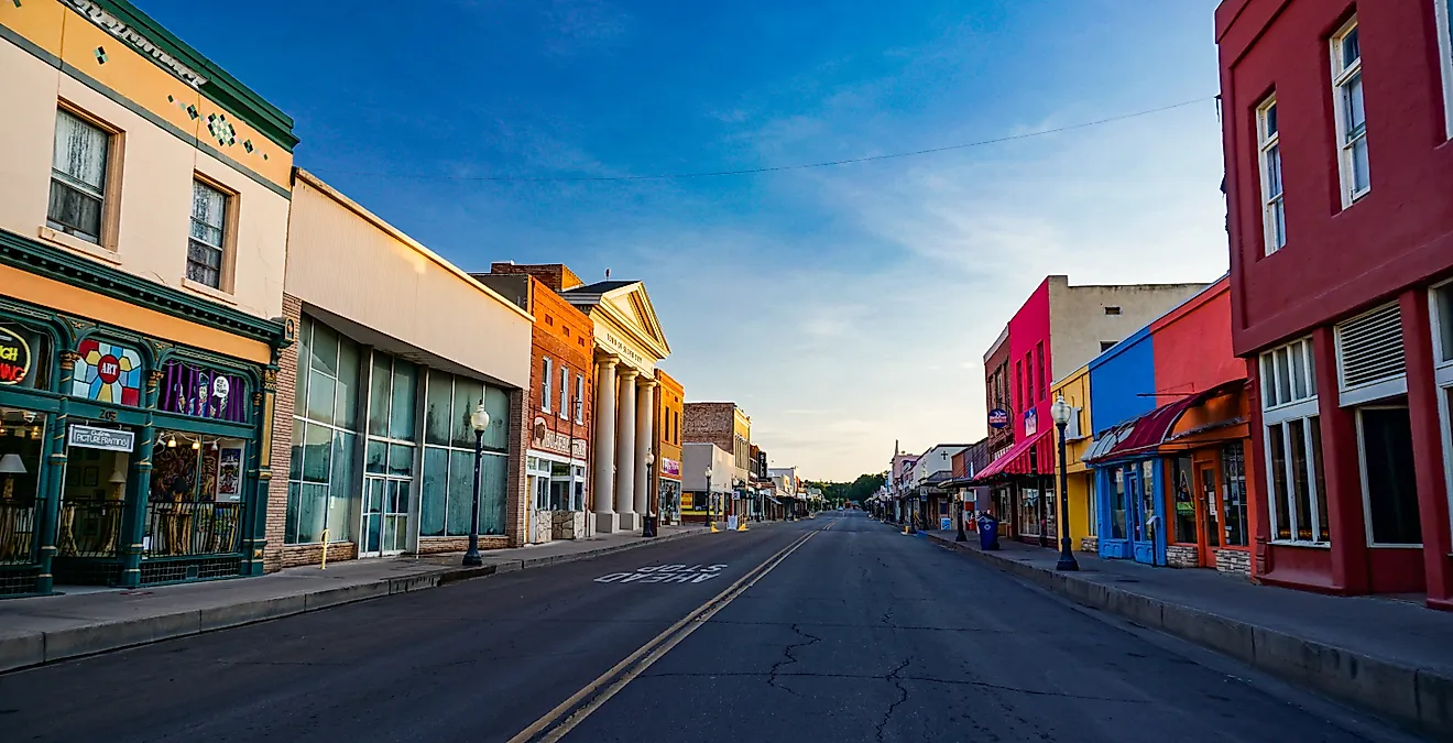
9 Main Streets Where the Pacific Coast Comes Alive
The Pacific Coast Highway, stitching together Highway 1 and U.S. Route 101, passes through some of the most dramatic coastline on the continent. With rocky headlands, old-growth redwood corridors, salmon-bearing rivers, a road trip on the Pacific Coast is always exciting, never boring. In Astoria, Oregon, Commercial Street still carries the legacy of a salmon-canning powerhouse, with the Columbia River waterfront and maritime landmarks shaping the town’s identity. In Cannon Beach, Hemlock Street pairs a compact independent business district with easy access to Haystack Rock, giving the town one of the most recognizable coastal settings on the route.
The following 9 main streets where the Pacific Coast comes alive were carved out of boom eras shaped by salmon canneries, lumber mills, and summer retreats.
Water Street, Port Townsend, Washington

Port Townsend in 1800s served as the sole U.S. Customs port of entry on Puget Sound, and investors began building the ornate, two-and three-story brick Victorian commercial buildings that still line Water Street today. Unfortunately for those investors, the transcontinental railroad never arrived in Port Townsend, and the town was frozen in time.
Today, Port Townsend's downtown historic district is a National Historic Landmark with Water Street's Victorian facades housing everything from wine bars to marine outfitters. For the foodies, the Fountain Café on Washington Street draws a loyal crowd with its small, seasonal menu of locally sourced dishes served in a cozy, art-filled space. If you walk to the end of Water Street, you'll reach the Northwest Maritime Center, where kayak rentals put you directly on Port Townsend Bay. From the water, the town's Victorian buildings rise against a backdrop of the Olympic Mountains, offering breathtaking views from the bay.
Harborview Drive, Gig Harbor, Washington

Gig Harbor's commercial strip runs along Harborview Drive, a single, shore-hugging road that wraps around the inside of a small natural harbor. In the late 19th century, fishing families arrived and made the harbor the center of the town's halibut and salmon fishing economy. The wooden net sheds those families built for mending and storing their gear still stand along the harbor's edge, making Gig Harbor's working waterfront one of the best-preserved examples of Pacific Northwest fishing heritage anywhere on Puget Sound.
The Harbor History Museum houses the relocated 1893 Pioneer Schoolhouse alongside exhibits on the harbor's maritime history. Donkey Creek Park, a short walk from the commercial strip, follows a salmon-bearing stream through a small wooded corridor with viewing platforms built above the channel. It's a quiet contrast to the waterfront foot traffic, and a happy reminder that the same ecosystem that drew the original fishing families to this harbor is still intact.
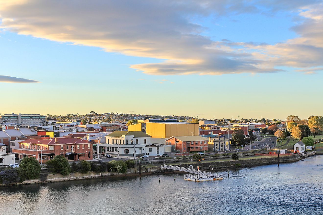
Commercial Street, Astoria, Oregon

Astoria has a claim that few American towns can match as the oldest settlement west of the Rocky Mountains, founded in 1811. At its peak, Astoria was the world's largest producer of canned salmon, and that waterfront industrial heritage defines the bones of Commercial Street and the adjacent Pier 39.
The 125-foot Astoria Column, built in 1926 atop Coxcomb Hill, winds upward to a viewpoint that takes in the Columbia River and the Cascades. On the waterfront, the Columbia River Maritime Museum holds one of the finest collections of Pacific Northwest seafaring artifacts on the coast, including a former Coast Guard lightship anchored at the dock. For a drink, head to the Astoria Brewing Company, which serves up local brews.
Hemlock Street, Cannon Beach, Oregon

Cannon Beach literally takes its name from a cannon on the USS Shark, a naval schooner that ran aground at the mouth of the Columbia River in 1846, whose cannon washed ashore near Arch Cape. The Lewis and Clark expedition journeyed south in 1806 to measure a beached whale near Ecola Creek, an event commemorated today by a bronze sculpture at Whale Park at the north end of Hemlock Street.
The town was incorporated in 1955, and local laws have deliberately kept chain retail out, keeping the four-block commercial core of Hemlock Street almost entirely of independent shops, galleries, and restaurants. Hemlock's most storied building is the Coaster Theatre Playhouse, which started life in the 1920s as a roller rink before being converted into a non-profit performance venue in 1972. The venue now hosts plays, musicals, and touring musicians. A 15-minute walk west of the shops brings you to Haystack Rock, the 235-foot basalt sea stack that hosts a nesting colony of tufted puffins in spring. And for arguably the best meal in town, the Wayfarer Restaurant and Lounge has been serving Northwest coastal dishes with views of the Pacific through a wall of windows since 1978.
Bay Street, Florence, Oregon

The town of Florence sits at the mouth of the Siuslaw River, and its Old Town district developed along Bay Street as a working waterfront main street serving the logging and fishing industries that fed the surrounding valleys.
The town's most prominent landmark isn't on the main street itself but rises above it. The Siuslaw River Bridge, built in 1936, whose Art Deco towers and steel span have become a recognized piece of infrastructure architecture since its construction. Bay Street's walkable blocks hold a concentrated mix of antique shops, galleries, and dockside restaurants, with the Port of Siuslaw Marina visible at the east end. The harbor seals that regularly hang out near the docks are a popular draw for locals and tourists alike. Just north of town, Sea Lion Caves offers visitors a look into what the attraction's owners describe as the largest sea cave in the country.
First and Second Streets, Bandon, Oregon

Old Town Bandon occupies a compact waterfront grid on the south bank of the Coquille River, and its history is shaped by a catastrophic 1936 fire that burned the entire commercial district to the ground. The rebuilt Old Town has a 10-block commercial core that centers on First and Second Streets, and it retains a distinctly maritime character. The Coquille River Lighthouse, built in 1895 to guide ships upstream, stands across the river at Bullards Beach State Park and is a prominent landmark in the region.
Bandon is Oregon's self-proclaimed cranberry capital, and the surrounding bogs contribute to what shows up on local menus. The Bandon Historical Society Museum, housed in an early 20th-century building near the waterfront, displays photographs of the 1936 fire and ship artifacts recovered from Coquille River wrecks. Horseback riding on the equestrian trails through adjacent Bullards Beach State Park is among the most exciting ways to see the Coquille estuary and the Pacific-facing dunes.
Main Street, Fort Bragg, California

Fort Bragg's main street is part of California State Route 1, a reduced-speed stretch of the Pacific Coast Highway running through a town that began as a military outpost in 1857, which was decommissioned shortly after, and spent most of the late 19th and 20th centuries as a lumber company town.
The lumber company closed its doors in 2002, and the former mill site, now called the Noyo Center, has been converted to marine science facilities. The Victorian-era Company Store building on Main Street, which originally served as the lumber company's department store, still stands and displays old photographs of the mill throughout its interior. The North Coast Brewing Company, a pioneer of the American craft beer movement, operates its brewpub in a converted historic building on the south end of Main Street. At the south end of the main drag, the trail down to Noyo Headlands Park follows coastal bluffs above the rocky shoreline.
Main Street, Cambria, California

Cambria's commercial spine runs east along Main Street and is split into two distinct districts, the East Village and the West Village. The East Village is the older half, with several buildings dating to the 1860s, when the area served as a supply point for local dairy and cattle ranches. The Cambria Historical Society's walking tour tells of the communities that flourished on the eastern edge of Old Town from the 1860s until the early 20th century.
Fiscalini Ranch Preserve, a 437-acre coastal space accessible on foot from the west end of Main Street, runs along trails above some of the most wave-eroded cliffs on the Central Coast. In winter, migrating gray whales pass close enough to the cliffs to be observed through binoculars. For dinner, the Sea Chest Restaurant and Oyster Bar, on Moonstone Beach Drive just off the west end of town, draws long lines without taking reservations.
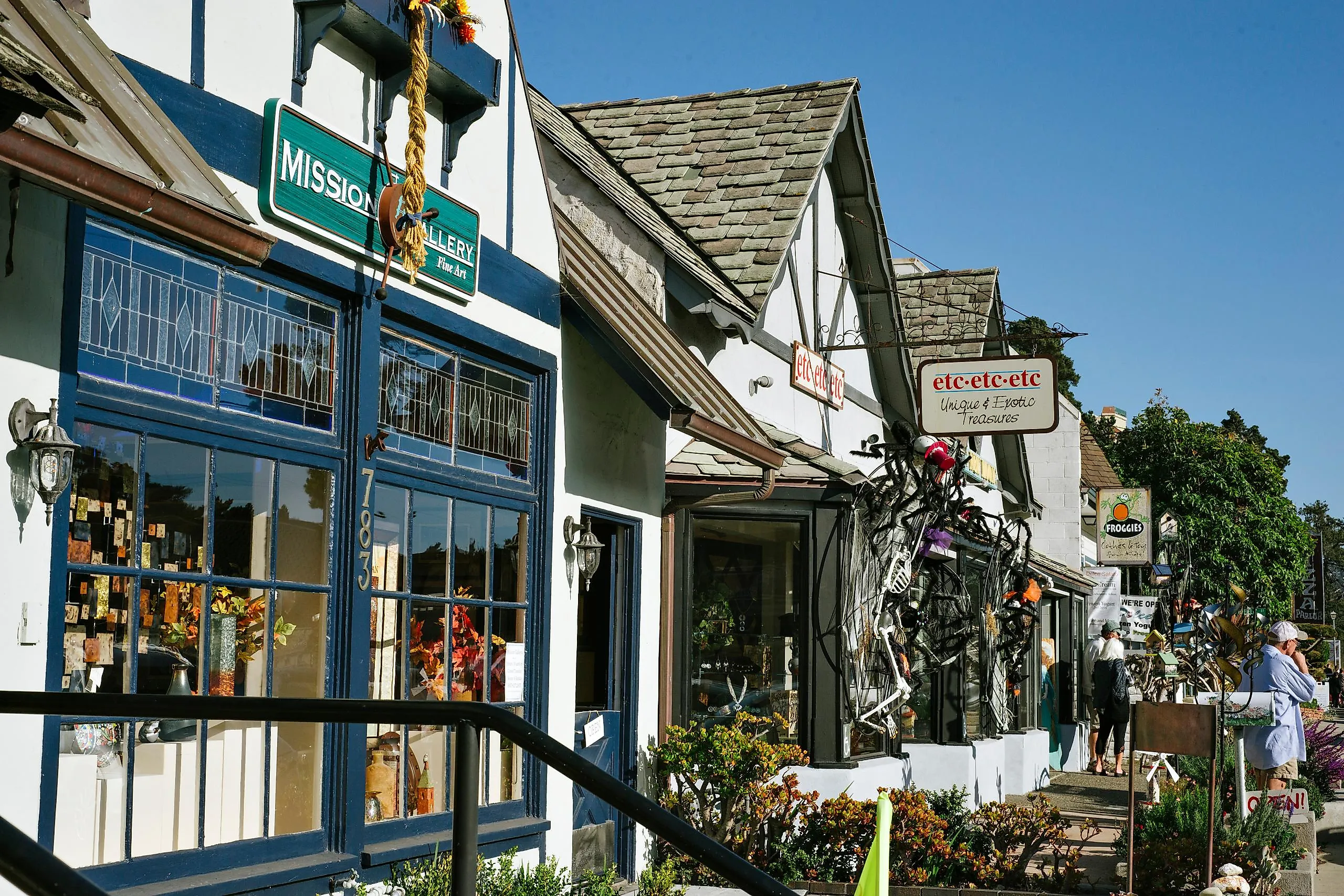
Lighthouse Avenue, Pacific Grove, California

Lighthouse Avenue takes its name from what created it in the first place. Point Pinos Lighthouse, which has operated continuously since 1855, remains the oldest functioning lighthouse on the West Coast. The town itself was founded in 1875 as a summer retreat, with visitors camping in tents on lots that have since been replaced by Victorian-era cottages and bungalows that define the residential blocks off Lighthouse Avenue.
The Monarch Grove Sanctuary on Ridge Road, just off Lighthouse Avenue, serves as the winter home for monarch butterflies migrating from miles away. The colony peaks between November and February, when the eucalyptus trees are full of clustered butterflies. The Point Pinos Lighthouse itself is open to visitors on weekends, sitting at the tip of the peninsula and surrounded by a rocky loop of coastline that offers some of the best hiking in the region.
These 9 main streets where the Pacific coast comes alive span more than a thousand miles of coastline and four distinct climate zones, but they share something deeper. These are the main streets that grew out of what the land and water could provide, and whose character still reflects those origins. They're what remains of the industries that built these towns, and of the communities that chose to hold onto what remained.