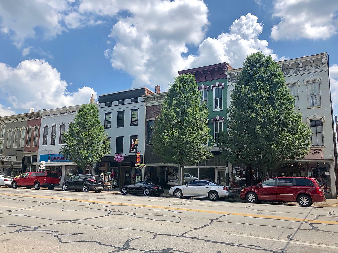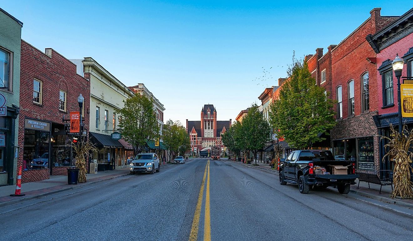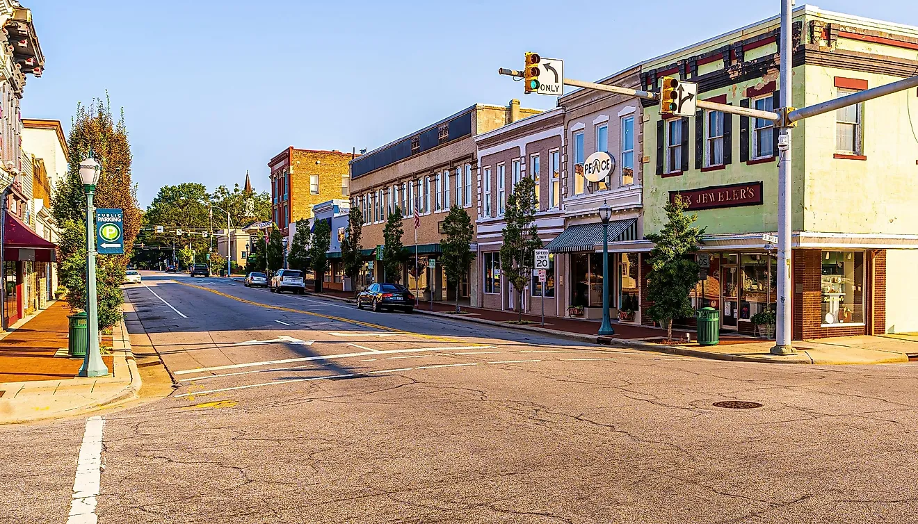
8 Of The Quietest Maryland Towns
In Maryland, quiet towns dot the shores of Chesapeake Bay, along rivers like the Pocomoke and Corsica, and at the edges of places like South Mountain, where development begins to thin out. In towns like Rock Hall, Berlin, and Snow Hill, the setting shapes how the town is used, whether that’s a working harbor, a productive main street, or a riverfront that provides a backdrop to the busy workings of commerce and outdoor activities. Further west, Boonsboro and Hancock shift into forest and trail systems, with paths that follow the terrain instead of gathering people into one area.
Rock Hall

Along the Chesapeake Bay, Rock Hall stays oriented toward the water, with most of the town opening out toward the harbor. Originally shaped by fishing and maritime trade, it continues to function around that same relationship to the bay. At Rock Hall Harbor, boats move in and out steadily, but the activity never builds into congestion.
A short distance away, the Eastern Neck National Wildlife Refuge opens into marshland and long, quiet trails where birdlife replaces most human activity. Back toward the center, Main Street holds only a few blocks of small storefronts, without extending beyond the original footprint. At Waterman’s Crab House, tables look directly over the water, with wide views across the bay.
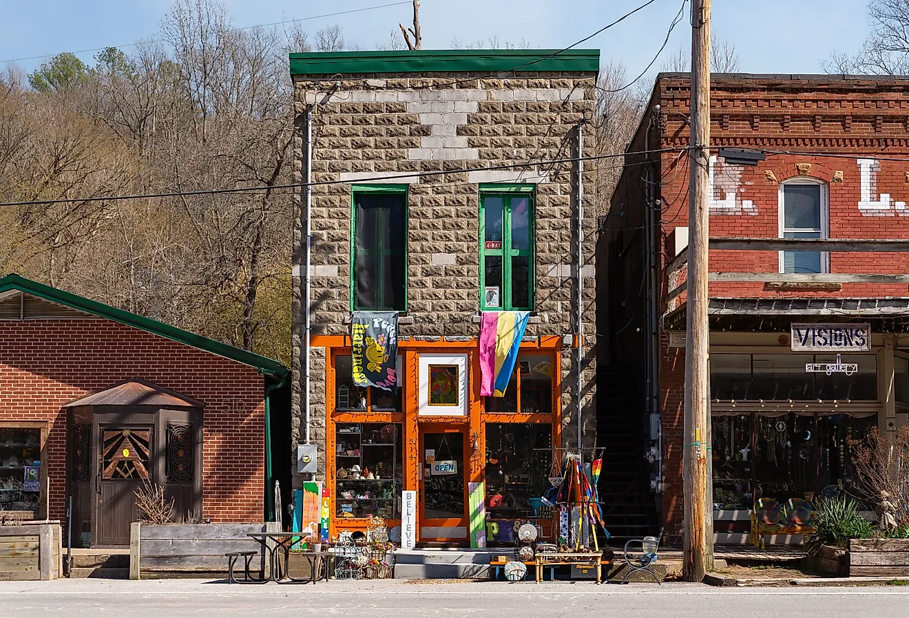
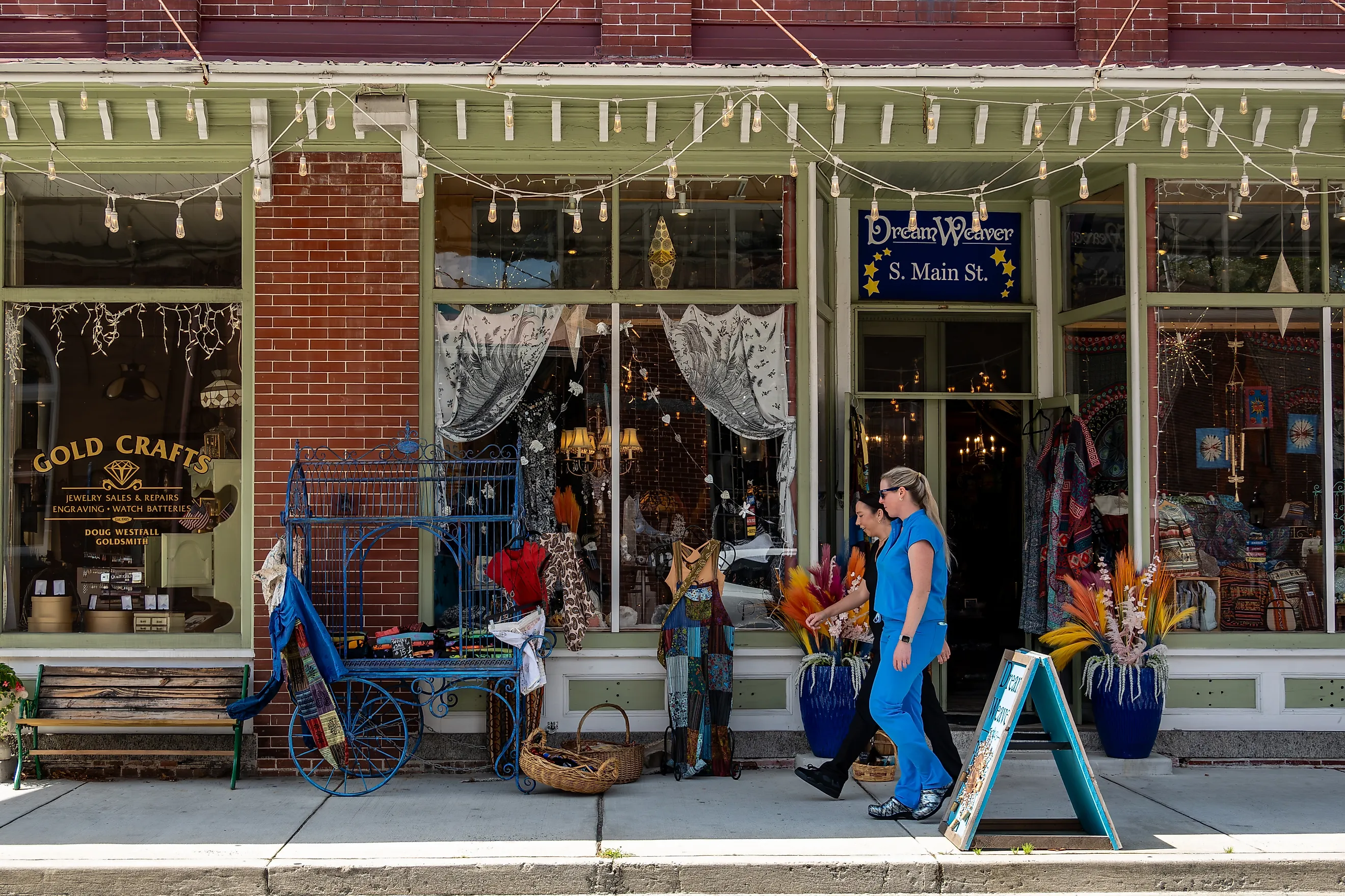
Berlin

A few miles inland from the Atlantic coast, Berlin avoids the heavier flow of traffic that builds closer to the shoreline. Its growth in the late-19th century as a small rail and commercial stop is still visible in how the town is arranged today. Main Street carries most of the activity, with preserved buildings now housing bookstores, galleries, and cafés that don’t extend far beyond a few blocks.
The Atlantic Hotel, rebuilt in 1895, still anchors that stretch. Beyond town, Assateague Island National Seashore shifts the landscape into open beach and marsh, where wild horses move freely across large, undeveloped areas. The commercial district remains limited, with no push toward larger retail expansion. That connection to an unmanaged coastal landscape is what distinguishes the town.
Centreville

Centreville is organized around a central courthouse square, where streets extend outward in short blocks before giving way to residential areas and open land. Established in the 18th century as a county seat, that central function continues to shape how the town operates. For example, the Queen Anne’s County Courthouse, dating to the 1790s, remained in continuous use until 2019, where it served as the county’s primary courthouse handling local trials, records, and administrative functions, and it still defines the center.
Surrounding it, the historic district includes residential streets that haven’t shifted much over time. Most activity stays around the courthouse and nearby streets, while the surrounding residential areas and riverfront remain largely undisturbed, with less traffic or development. Near the edge, Corsica River Park follows the water with open paths and unobstructed views, while the river itself remains largely undeveloped along its banks.
Port Tobacco

Inland from the Potomac River, Port Tobacco sits along what was once a navigable waterway, when ships could reach the town directly and use it as a port. After the river gradually silted, the town declined and was never rebuilt at scale, leaving its earlier layout partially intact. The Port Tobacco Courthouse stands at the center, where it now functions as a historic site with preserved interiors that show how legal proceedings were once conducted.
Nearby, Stagg Hall, an 18th-century home, is furnished to reflect period rooms and original details. The archaeological site reveals outlines of former buildings with marked foundations and interpretive signage. Just outside, the Thomas Stone National Historic Site extends into preserved farmland and walking paths that follow the original property lines. Large stretches of open land separate the buildings, with fields, tree lines, and long sightlines that haven’t been filled in or redeveloped. That spacing, rooted in its colonial layout, keeps the area from building into anything dense or busy.
Taneytown

Taneytown lies in northern Maryland, where farmland surrounds the town on all sides and creates a clear boundary that hasn’t shifted much over time. Founded in the 18th century as an agricultural center, it still reflects that role rather than expanding into something more commercial. The historic district follows the original street grid, with homes and buildings that remain in place rather than replaced or extended.
Along the edge, Big Pipe Creek runs through open land without development along its banks. Memorial Park provides open green space, while the nearby Taneytown History Museum presents the town’s agricultural background with exhibits tied to local, colorful history. What shapes the atmosphere here is the farmland itself: the open fields around Taneytown prevent new roads, shopping areas, or through traffic from building up, so movement stays local and limited to the same few streets.
Snow Hill

Snow Hill follows the curve of the Pocomoke River, with the town shaped directly by the water rather than extending far beyond it. Originally a small port town, that relationship still defines how it is laid out today. The historic district sits close to the shoreline, with many buildings facing the river instead of turning inward. Along the edge, the Pocomoke River Walk runs under tree cover, with long stretches that remain uninterrupted and lightly used.
Byrd Park sits beside the water, with open grass and clear views across the waterway — but without large facilities or built-up areas that would draw crowds. A few blocks inland, Julia A. Purnell Museum holds local artifacts and regional history in a compact space that mirrors the scale of the town itself. The downtown area stays within a few blocks, without extending much past the riverfront. What shapes the atmosphere here is the river itself. Most of the town stays gathered along its edge, and once you step away from the water, things thin out quickly, with fewer buildings and very little activity beyond the center.
Boonsboro

At the base of South Mountain, Boonsboro sits where the land rises quickly into forest just beyond the town center. Founded in the late 1700s along early travel routes, it remained tied to the nature surrounding it. The historic district runs along a short section of Main Street, after which the landscape changes almost immediately. For instance, South Mountain State Park begins just outside town, with steep, wooded slopes and trails that climb gradually before leveling out along the Appalachian Trail.
Sections of the trail move through dense tree cover with limited visibility beyond the path, while others open briefly to overlooks, such as Turner’s Gap. Nearby, Washington Monument State Park adds another point along the ridge, with a stone tower and limited facilities that keep activity dispersed rather than concentrated.
Trailheads sit close to town, but once you’re on them, the surroundings shift quickly from built space to forest. The mountain changes how people move. Trails stretch out over distance and elevation, so visitors spread out along them instead of gathering in one place. The tree cover also absorbs sound, and once you’re on the trail, there’s very little to carry noise beyond the immediate path.
Hancock

Hancock sits between the Potomac River and the C&O Canal, with the town arranged in a narrow band between the two. Its history as a canal and rail stop still shows in how everything lines up along that stretch. The C&O Canal Towpath passes directly through town, with walkers and cyclists following it along the water. The Western Maryland Rail Trail runs alongside it, continuing in the same direction for miles with long, uninterrupted sections.
At Fort Frederick State Park, a stone fort stands near the river, surrounded by open fields and wide spacing between features. Main Street is short, with a small number of shops grouped together in one section. Activity follows the same path through town, with most of it staying along the canal and trails. Step a block away, and the streets are noticeably still, with very few people and minimal traffic.
Across these eight towns, nothing has been built to carry large volumes of traffic or constant movement. Some sit along water, others beside farmland or at the edge of the mountains, but in each case, the surroundings set the limits. Streets cover only a short distance, follow a river, or give way quickly to open land. Side streets are few, shops and businesses are small, and open spaces dominate beyond the center, keeping each town calm, slow-moving, and quiet.