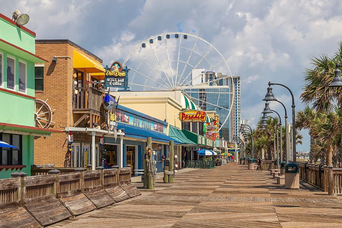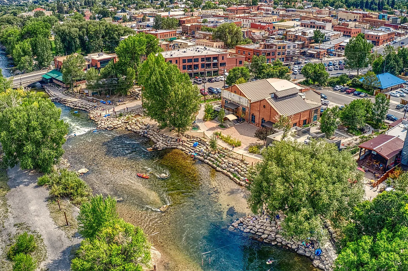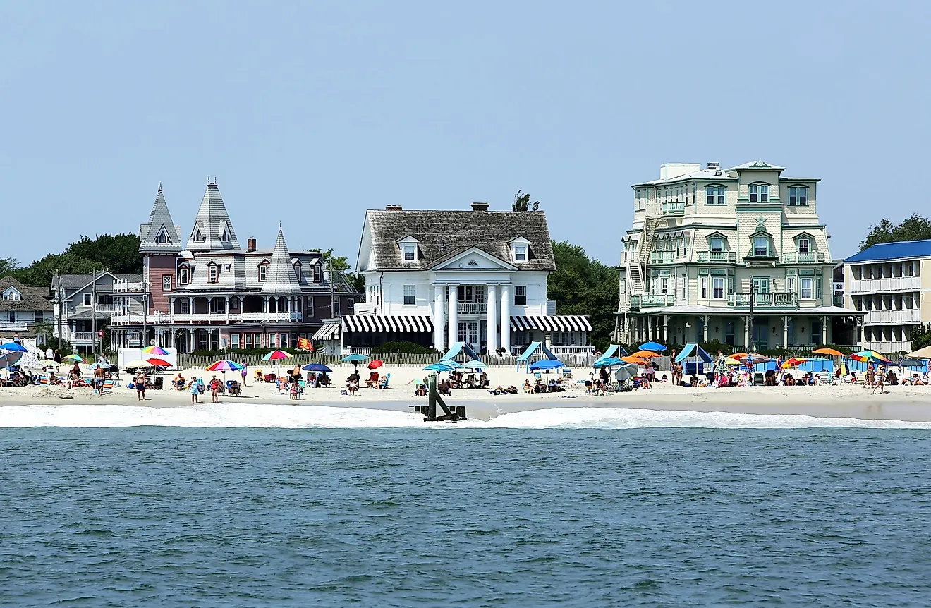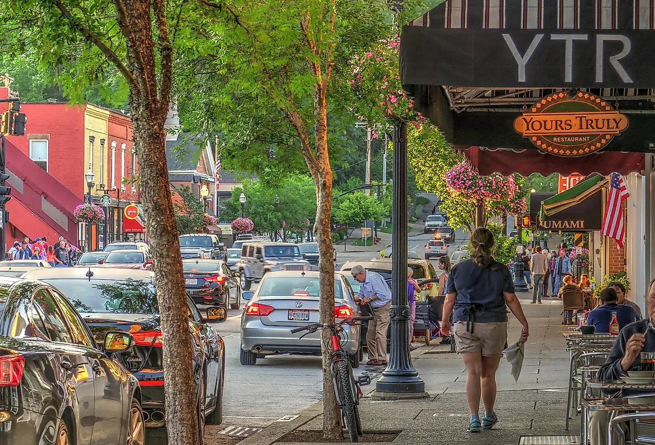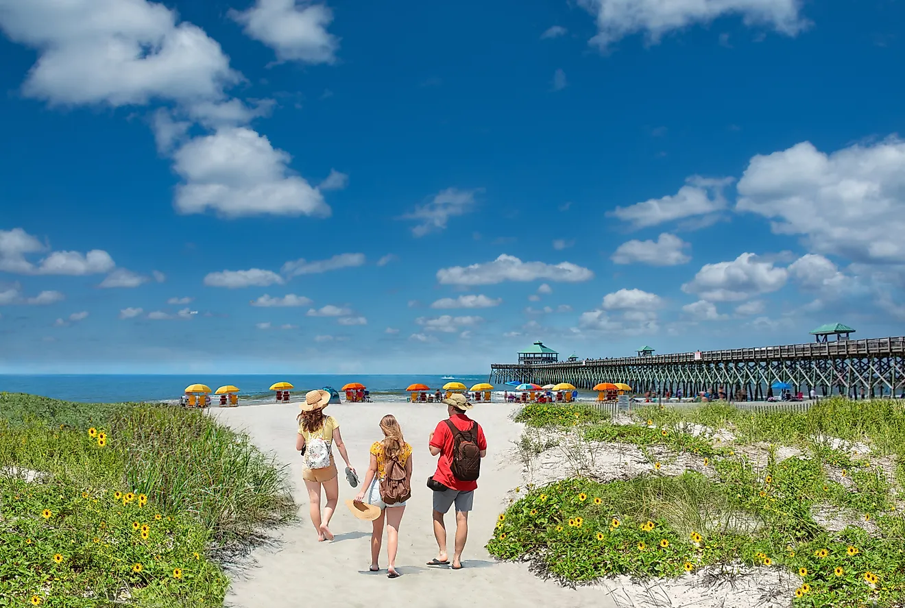
10 Off-The-Grid Towns In The Pacific Northwest To Visit
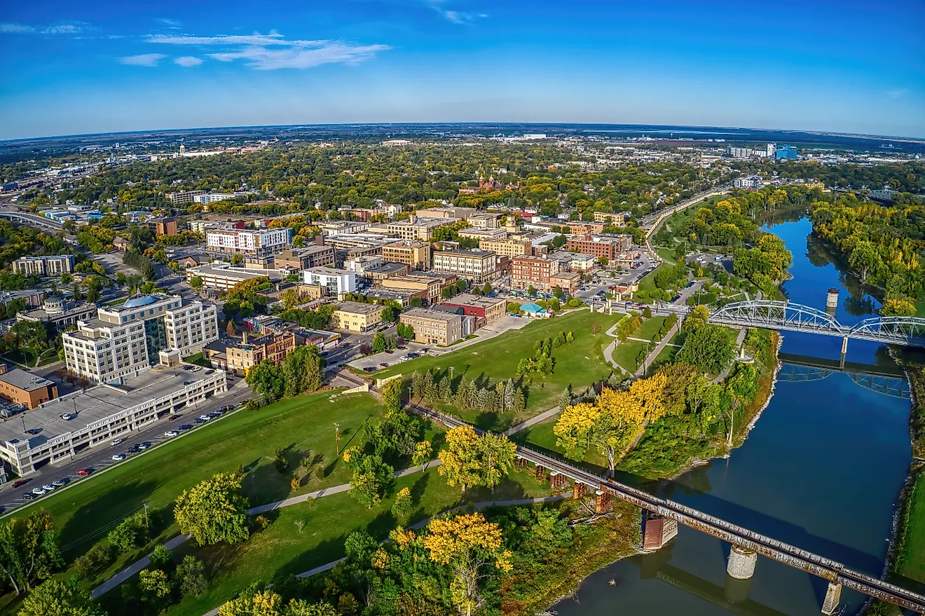
Stehekin, Washington has no road in. You reach it by ferry, floatplane, or your own two feet, and once you arrive, your phone goes dark for the duration. The ten Pacific Northwest towns here all share that stubborn streak. None sits on an interstate, and one county on this list counts more elk than people. What you get for the inconvenience is steep: the deepest river gorge on the continent, the rainforest that soaks the Olympic Peninsula, and a strait the French bluntly named Death's Door. Getting to any of them takes effort, which is exactly the filter that keeps them quiet.
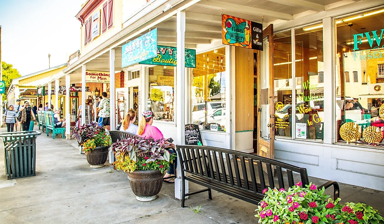
Joseph, Oregon

Joseph keeps two working bronze foundries on its main drag, and the sculptures they pour line the sidewalks like a permanent outdoor gallery. The town sits under the Wallowa Mountains and carries the name of Old Chief Joseph of the Nez Perce, whose people were forced out of this valley in 1877. Wallowa Lake spreads 1,500 acres of glacial meltwater just south, ringed by Eagle Cap Wilderness peaks that clear 9,000 feet. Ride the Wallowa Lake Tramway to the top of Mount Howard at 8,150 feet, and on a clear day you can see into Idaho and Washington. East of town, the Nature Conservancy's Zumwalt Prairie rolls across more than 30,000 acres, the largest stretch of native bunchgrass prairie left in the Pacific Northwest. Book a room at the Jennings Hotel, a self-check-in inn in an old red-brick building where the sauna is the main event.
Stehekin, Washington

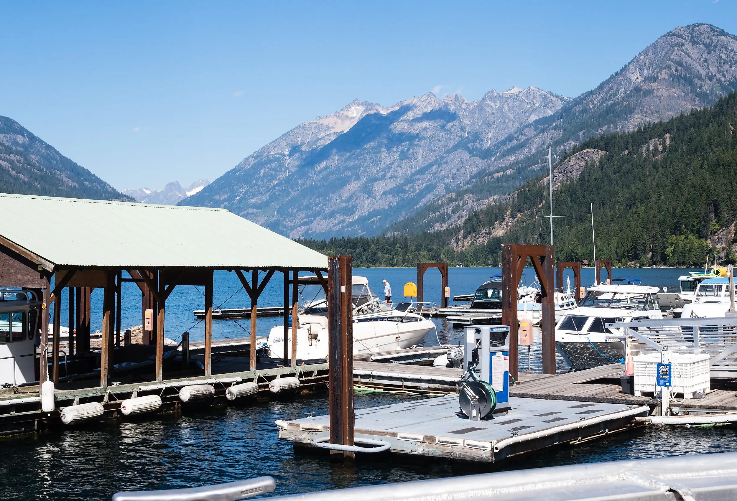
There is no driving to Stehekin, one of the most cut-off communities in the contiguous United States. The Lady of the Lake ferry runs the length of Lake Chelan each summer, the third-deepest lake in the country, and drops you at a landing with no cell service and no through road. Pacific Crest Trail hikers stagger in here to resupply, and the first thing most of them do is hit the Stehekin Pastry Company for a cinnamon roll the size of a hubcap. Buckner Orchard, a preserved homestead inside North Cascades National Park, still lets visitors pick heritage apples every fall. Rainbow Falls drops 312 feet a short shuttle ride from the dock, loud enough to drown out conversation. Plan to be unreachable, because that is the whole point of coming.
Twisp, Washington

Twisp plays second fiddle to Winthrop a few miles up the valley, and it has leaned hard into being the artsy one. Washington's arts commission named it a Creative District, one of fewer than 20 in the state. The 1948 Methow Valley Community Center packs a library, a gym, and a year-round indoor farmers market under one roof. The Confluence Gallery rotates work from artists across the Methow and the wider region, and every Fourth of July the Methow Arts Festival turns Glover Street into a live mural-and-music block party. Cap the day at the Cinnamon Twisp Bakery, which has been fueling valley mornings for years.
Brookings, Oregon

Brookings sits on the last stretch of Oregon coast before California, and it hoards some of the most dramatic shoreline on US 101. The Samuel H. Boardman State Scenic Corridor runs 12 miles of sea stacks and hidden coves just north of town, including the much-photographed Natural Bridges. Harris Beach State Park looks straight out at Bird Island, the largest island off the Oregon coast and a protected seabird refuge. In Azalea Park, a small open-sided chapel called Capella by the Sea was donated in 2009 by Oscar-winning film editor Elmo Williams in memory of his late wife. Time your visit for Memorial Day weekend and you catch the Azalea Festival, one of the oldest celebrations on the Oregon coast.
Priest River, Idaho

Priest River sits where its namesake river spills into the Pend Oreille in the Idaho Panhandle, about half an hour from the Washington line. Drive 25 miles north and Priest Lake holds some of the clearest water in the state, the kind of place north Idaho families have kept summer cabins for generations. Keep going past Nordman and the Roosevelt Grove of Ancient Cedars shelters western redcedars, the oldest pushing past 2,000 years. A 1926 fire took roughly three-quarters of the original grove, and what survived was protected as a Scenic Area in 1943. The Granite Falls Trail loops a mile through the big trees past two waterfalls, and the Pend Oreille keeps anglers busy chasing the prized Kamloops rainbow trout.
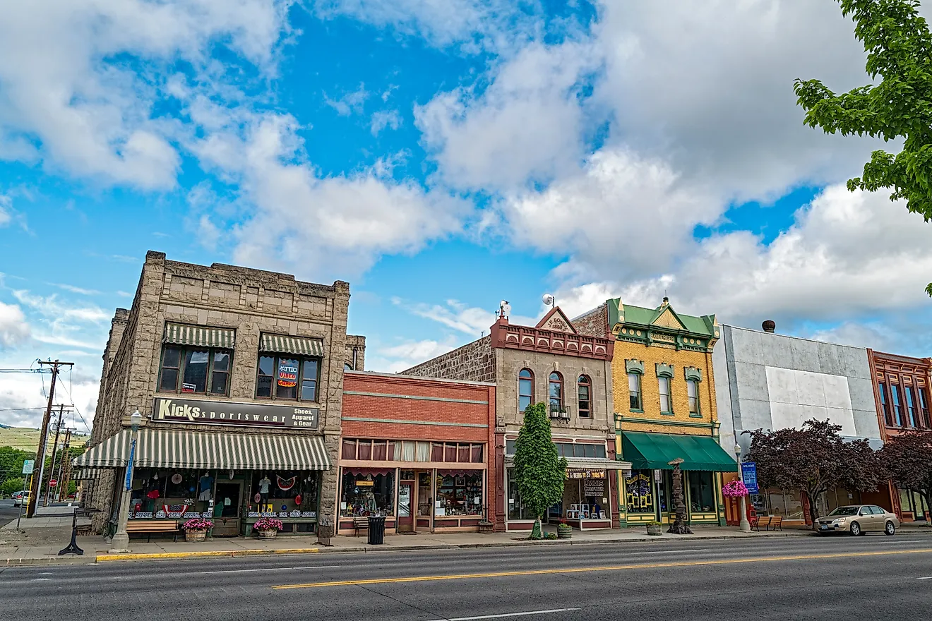
Winthrop, Washington

Winthrop committed to a bit in the 1970s and never broke character: every storefront on Riverside Avenue wears a false Old West front, boardwalks and all. In winter the Methow Valley Sport Trails Association grooms about 200 kilometers of cross-country ski track, one of the largest networks of its kind in North America. Pipestone Canyon sends mountain bikers through 9 miles of volcanic rock just east of town. Four miles south, Patterson Lake fronts the Sun Mountain Lodge and turns into a paddleboard-and-kayak lake in summer. The Old Schoolhouse Brewery pours award-winning beer on a patio over the Methow River, which is about as Winthrop as it gets.
Omak, Washington

Omak is best known for an event that splits opinion: the Omak Stampede, running since 1933, ends each August with the Suicide Race, a flat-out sprint down a steep bank and into the Okanogan River. The town anchors Okanogan County and the apple country of north-central Washington, with working orchards of apple, cherry, and pear ringing the valley. The Okanogan Trails Scenic Byway climbs north into the Okanogan Highlands. Across the river, the Confederated Tribes of the Colville Reservation are based in Nespelem, and the tribes' Omak Indian Days hosts one of the largest powwows in the state. This is a town that does not soften its edges for visitors.
Enterprise, Oregon

Enterprise is the workaday twin to Joseph six miles south, the county seat where ranchers actually run their errands. Its 1909 courthouse and brick storefronts earned it a Preserve America designation. The town sits at the doorstep of the Hells Canyon National Recreation Area, more than 650,000 acres wrapped around the deepest river gorge on the continent. Hells Canyon bottoms out at 7,993 feet, nearly 2,000 feet deeper than the Grand Canyon. Terminal Gravity Brewing has poured here since 1997, long enough to count as an institution in eastern Oregon. The Wallowa County Museum on Main Street tells the Nez Perce story and the 1877 removal without flinching.
Bonners Ferry, Idaho

Bonners Ferry sits on the Kootenai River about 30 miles shy of the Canadian border, almost as far north as Idaho goes. The name is literal: Edwin Bonner ran a ferry across the river here starting in 1864, moving prospectors toward the Wild Horse Creek gold rush in British Columbia. The Kootenai National Wildlife Refuge just west covers 2,774 acres of marsh and grassland with a 4.5-mile auto-tour loop. Myrtle Falls tumbles through old-growth timber on a short hike south of town. Downtown, the 1923 Pearl Theater, a restored vaudeville house, keeps a year-round music and theater calendar running in a town most maps barely register.
Forks, Washington

Forks is the rainiest town in the Lower 48, soaking up more than 100 inches a year on the wet western flank of the Olympic Mountains, and it wore that gloom into an unlikely second life. Stephenie Meyer set her 2005 "Twilight" novels here, and the town leaned all the way in: the Forever Twilight in Forks Festival each September pulls fans and cast members, and the Rainforest Arts Center keeps original film costumes on display. Look past the vampires and Forks is the gateway to the Hoh Rain Forest, a 30-mile drive south into Olympic National Park where moss hangs off everything. Rialto Beach and the Quileute community of La Push, 15 miles west, stack up sea stacks at First Beach. Push north and you hit Cape Flattery, the northwesternmost point in the contiguous United States, where the country simply runs out.
What Keeps These Towns Off The Map
The common thread is friction. None of these ten sits on an interstate, and a few make you earn the visit: a ferry up Lake Chelan to Stehekin, a long haul to the bottom of Hells Canyon, a drive to where the map runs out at Cape Flattery. Joseph and Enterprise hold down the Wallowa Valley, while Stehekin, Twisp, Winthrop, and Omak cover the dry east side of the Cascades. Priest River and Bonners Ferry guard the Idaho Panhandle's lakes and rivers, Brookings clings to the far Oregon coast, and Forks soaks on the Olympic Peninsula. The effort to reach them is not a flaw in the plan. It is the reason they still feel like somewhere.