Province of Anhui, China
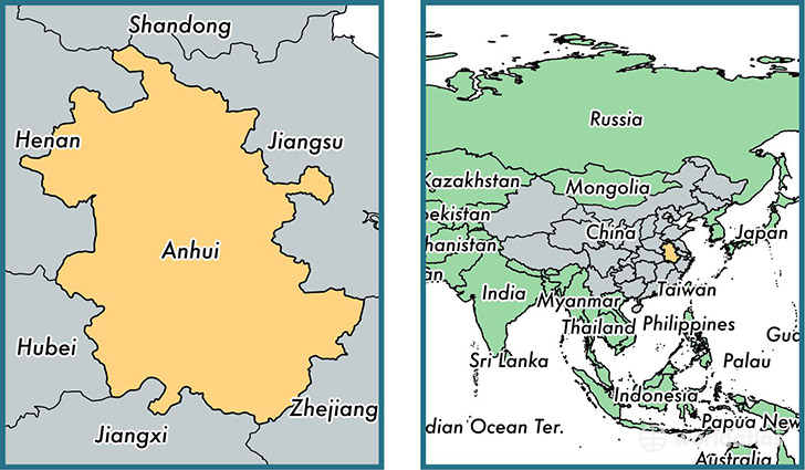
Anhui is a province found in the nation of China. Home to 59,500,510 people, it is the 8th largest division in China in terms of population.
Anhui gained its current status as a province in the year 1949. The government of Anhui is lead by Li Jinbin and is based in the province capital of Hefei (Population: 7,611,000).
The most populous cities in Anhui are: Hefei (Population: 3,310,268), Huainan (Population: 1,027,655), Huaibei (Population: 903,039), Bengbu (Population: 576,648), Wuhu (Population: 507,524).
Anhui Province - Quick Facts
| Country | China |
| Region Type | Province |
| ISO Code | CN_34 |
| Time Zone | HKT |
| Year of Establishment | 1949 |
| Capital | Hefei (Population: 7) |
| Head of Government | Li Jinbin |
| Total Population | 59,500,510 |
| Total Area | 140,455 sq km (54,230 sq miles) |
| Population Density | 423.6 sq km (1,097.2 sq miles) |
This page was last updated on July 24, 2015.