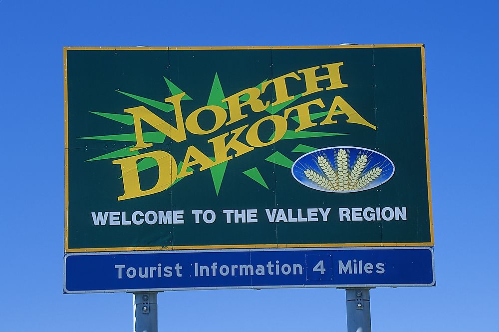
Which States Border North Dakota?

The state of North Dakota is bordered by South Dakota to the south, by Minnesota to the east, by Montana to the west and by Canada to the north. The state capital of North Dakota is Bismarck.
Minnesota
North Dakota’s eastern border is 434 miles long. Minnesota attained statehood in 1858 with its western border being defined by the Red River from the border with Canada to the Bois de Sioux River and extends to Lake Traverse. On North Dakota’s attainment of statehood, the border was set as the Red River beginning at the Canadian border then along the border with Minnesota to the intersection with the Seventh Standard line of Parallel. The description led to confusion as the origin of the Red River is about 25 miles away from the line of Seventh Standard Parallel. However, the confusion was mitigated by the clause stipulating that the borderline would follow that of Minnesota.
South Dakota
The southern border between North Dakota and South Dakota stretches for 361 miles. Congress had initially proposed to have 46th parallel north latitude as the border. Residents of Dakota Territory also met in 1880 to discuss the division. The residents found that the division using the 46th parallel line of latitude was no feasible as townships such as Richland, Logan, Ransom, and Emmons would effectively be in South Dakota. The proposed border would also leave several farms straddle across the two states. The issues were taken into account in the Omnibus bill that created the states of North and South Dakota. The bill set the border at the Seventh Standard Parallel.
Montana
In 1850 the western border of North Dakota was set at the 27th meridian west of Washington D.C. At the time, measurements of longitude were based on the line that ran through the center of the Naval Observatory in Washington D.C. The border has a total length of 210.95 miles. Cottonwood and stone markers demarcate the border at one-mile intervals. However, the border does not strictly follow the north-south longitude. The border is at least 533 feet west from the designated border point at the 49th parallel. The discrepancy is blamed on nineteenth-century surveying equipment and tools that were not as accurate as modern tools.


