Which States Border North Carolina?
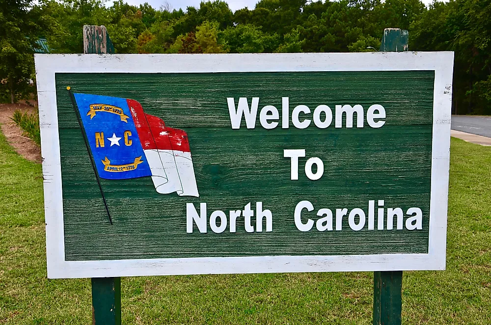
North Carolina is located in the southeastern region of the United States. Human communities have lived within the present day borders of North Carolina for more than 10,000 years. The Roanoke, Chowanoke, and Cheraw are some of the Native American communities that lived in the present day North Carolina. Juan Pedro was the first European to explore the area in 1566 and 1567. He later set up a fort in the area, but it only lasted for 18 months. North Carolina later fell into the hands of the British who greatly influenced the shape of its borders. In the modern era, North Carolina shares its boundaries with four states: South Carolina, Tennessee, Virginia, and Georgia.
South Carolina
North Carolina shares most of its southern border with South Carolina. The history of North Carolina and South Carolina are closely intertwined as both were part of the Province of Carolina. The province was named in honor of King Charles I. In 1729, the Province of Carolina was split into two forming North and South Carolina.
Tennessee
North Carolina shares its entire western border with Tennessee. In 1789, the government of North Carolina gave up land in its western edge to the federal government that would later become the state of Tennessee. During the early 20th century Tennessee and North Carolina were involved in a border dispute over some land along their shared boundary. The Supreme Court ruled in North Carolina's favor and decided that the land belonged to North Carolina.
Georgia
North Carolina's shortest border is shared with Georgia which is located in its southern part of the state. The boundary between the two states dates back to 1787 when they signed an agreement determining the position of the boundary along the Savannah River.
Virginia
North Carolina shares its entire northern border with Virginia. During the 18th century Virginia and North Carolina both claimed a section of land along their shared border. Despite their dispute over the boundary, Virginia frustrated efforts to bring surveyors to determine the exact position of the boundary. The leaders of Virginia feared that they will lose their claim to the land if an accurate survey was done.


