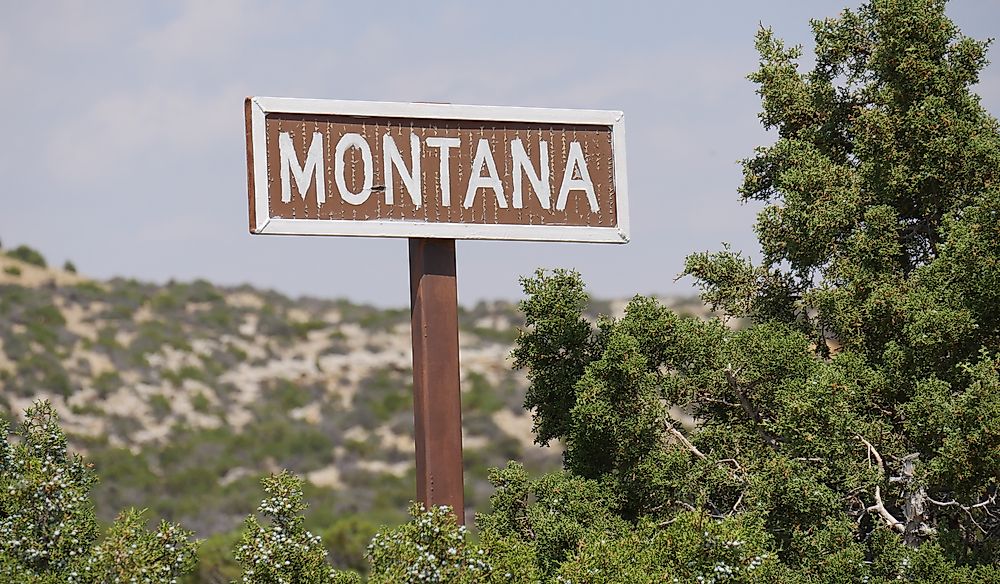
Which States Border Montana?
Montana is a US state which is located in the northwestern part of the United States. Montana is among the largest states in the US and it covers an area of about 147,040 square miles. Archaeological evidence indicated that human communities have been living in the region where it is currently the state of Montana for at least 12,000 years. Some of the Native American communities that lived in Montana include the Crow and the Cheyenne. The Europeans first arrived in Montana in the mid-18th century and established the first permanent settlement in 1841. The Europeans were the most influential community in determining the shape of Montana's borders. In the modern era, Montana shares its borders with four states, North Dakota, Wyoming, South Dakota, and Idaho. Montana also shares its borders with the three Canadian provinces of British Columbia, Alberta, and Saskatchewan.
Border with Wyoming
Montana and Wyoming are separated by a border located on the southern edge of Montana. Several major rivers cross the border between Wyoming and Montana such as the Tongue River, Bighorn River, and Powder River which are all tributaries of the Yellowstone River. The Bighorn River flows for about 1,875 miles and drains an area of 22,885 square miles. François Larocque, a fur trader, named the river in 1805 after the bighorn sheep he spotted close to the river. The Powder River flows for about 375 miles and drains an area of 21,875 square miles that is traditionally referred to as Powder River County. The river was named the Powder River because in some areas the sand along its banks looks like powder.
In 2010, Montana filed a case in the Supreme Court against Wyoming for violation of the 1950 compact on the sharing of the waters of the Yellowstone River. The disagreement stemmed from the fact that farmers in Wyoming had implemented a new irrigation system that resulted in less water flowing to Montana. In 2011, the Supreme Court ruled that Wyoming had not violated the compact by allowing its farmers to use more efficient irrigation techniques. In 2018, the Supreme Court decided that Wyoming should pay Montana $38,000 in damages. The Supreme Court also guided on how to implement the Yellowstone Compact.
There are several major cities on the Montana side of the border such as Red Lodge, Hammond, and Gardiner. Some of the major cities on the Wyoming side of the border include Sheridan, Lovell, and Powell. Sheridan is an important city in Wyoming and it is the administrative center of Sheridan County. Sheridan was named after Philip Sheridan, a Union General. Red Lodge is an important city in Montana and it is the seat of Carbon County. Red Lodge is a relatively small city and it covers an area of about 2.8 square miles.
Border with Idaho
Montana shares its entire western border with Idaho. The border between Idaho and Montana primarily follows the continental divide. Some of the major cities located on the Montana side of the border include Thompson Falls, Superior, and Hamilton. Wallace and Gibsonville are two of the towns located on the Idaho side of the border.
There are several famous features along the border such as the Lost Trail Pass and the Lolo Pass. The Lolo Pass is the most elevated point on the Lolo Trail that stretches from Idaho's Weippe Prairie to Montana's Bitterroot Valley. During the Nez Perce War in 1877, the pass was used by the Nez Perce to flee from the US Army. The Lost Trail Pass is located in the Rocky Mountains at an elevation of 7,014 feet above sea level.
Several rivers cross the boundary between Idaho and Montana such as the Bitterroot River and the Red Rock River. The Bitterroot River is an 84-mile long river that drains an area of 2,814 square miles. The Bitterroot River drains into the Clark Fork River and later drains into the Columbia River. The river is famous because it is home to large schools of rainbow trout and brown trout. The Red Rock River flows for approximately 70 square miles and drains an area of about 1,548 square miles.
Border with North Dakota
The boundary that separates North Dakota and Montana is located on the eastern edge of Montana. The border between the two states is a relatively straight line.
Several major rivers cross the border between North Dakota and Montana such as the Missouri River and the Yellowstone River. The Missouri River is one of the major rivers in the US and it drains an area of about 529,300 square miles. The Yellowstone River is a 692-mile long river that drains an area of about 70,000 square miles. The waters of the Yellowstone River eventually drain into the Missouri River in North Dakota. Montana and North Dakota share the waters of the Yellowstone River according to terms agreed upon in a 1950 compact. The residents of Montana mainly use the waters of the Yellowstone River for irrigation.
There are several major towns located on the Montana side of the border such as Plentywood, Sidney, and Baker. Beach and Edgemont are two of the major towns located on the North Dakota side of the border. Plentywood is an important city in Montana because it is the seat of Sheridan County. In 2016, it was estimated that the city was home to approximately 1,904 people. Beach is an important city in North Dakota and it is the administrative center of Golden Valley County. Beach is a relatively young city because it was founded in 1900.
Border with South Dakota
Montana's shortest border is the one it shares with South Dakota. The border between the two states is located on Montana's southeastern part. The boundary between the two states follows a relatively straight line. Ekalaka is one of the major towns located on the Montana side of the border. David Harrison founded the town and named it after his wife, Ijkalaka. In the modern era, the town is the administrative center of Carter County. In 2016, it was estimated that the town was home to 353 people.
The Importance of Montana's Borders
The borders of Montana are primarily important as they mark the limits of the state's territory. The boundaries are also important as they reflect a crucial part of the state's past.


