Which States Border Alaska?
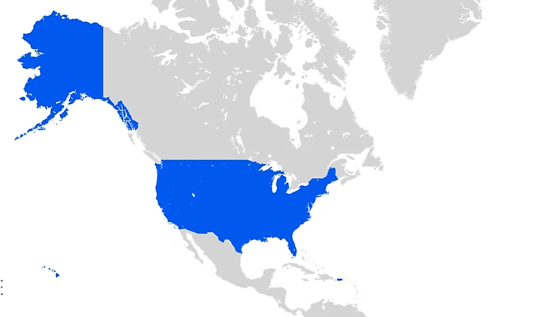
Alaska is the third least populous US state, with a population of approximately 738,400. However, it is the largest state by area, covering a total area of approximately 663,268 square miles. Therefore, given its small population and large area, Alaska is the country's most sparsely populated state. Located on the northwestern tip of North America, Alaska does not border any US states. Instead, the state shares a land border with parts of Canada. The state was purchased from the Russian Empire at a cost of US$ 7.2 million in 1867, and went through a number of administrative changes before becoming a territory in 1912. Alaska was admitted into the Union on January 3, 1959, becoming the 49th US state. The name "Alaska" has been used since the Russian colonial period when it referred to the Alaska Peninsula.
Geography of Alaska
Alaska is the northernmost and westernmost state in the United States, located in the northwest extremity of North America, and separated from Asia by the Bering Strait. Alaska and Hawaii are the only non-contiguous US states, and Alaska is the only non-contiguous state in continental North America. The state is separated from Washington by the Canadian province of British Columbia, at a distance of approximately 500 miles. Alaska borders the Canadian province of British Columbia and territory of Yukon to the west, and its maritime borders include the Pacific Ocean, Gulf of Alaska, Bering Sea, Chukchi Sea, and Beaufort Sea. Additionally, Alaska's Little Diomede Island and Russia's Big Diomede Island are only three miles apart, meaning that US and Russian territorial waters touch. With an area of 663,268, Alaska is twice the size of Texas, which is the second-largest US state. In fact, only 18 sovereign countries are larger than Alaska. In terms of total area (including water), the state is larger than the 22 smallest US states combined.
Alaska Is Not Bordered by Any US State
Alaska is one of two US states that are not bordered by another state, the other state being Hawaii. As a result, Alaska and Hawaii are referred to as non-contiguous US states. Alaska is separated from the other 48 states by Canada, while it shares a maritime border with Russia across the Bering Strait. Of the 13 US states that border Canada, Alaska has the longest border. The Alaska-Yukon-British Columbia border is approximately 1,540 miles long. Additionally, the nearest US state, Washington, is about 500 miles away and separated by British Columbia. Thus, it is an exclave of the US that is part of the continental US, but not part of the contiguous US. Alaska’s capital, Juneau, is one of the only two state capitals that can be accessed only via ship or air since it is not connected by road or railway.
Regions of Alaska
Although Alaska is not officially demarcated into regions, the state has six widely accepted regions. These regions include: South Central Alaska, which is the most populated region in the state; Southeast Alaska, also referred to the Alaska Panhandle; Interior Alaska, which is state’s largest region; Southwest Alaska; Alaska North Slope; and the Aleutian islands.


