Where Is the Strait Of Dover?
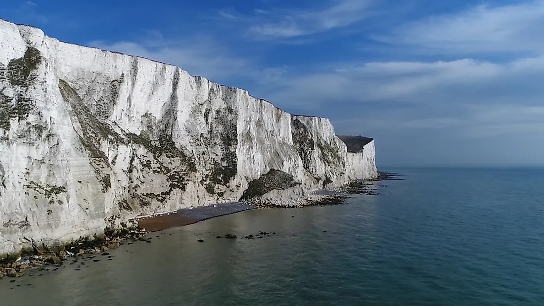
The Strait of Dover, also referred to as Dover Strait, is a strait that forms the narrowest part of the larger English Channel. Formerly known as the Dover Narrows, the strait forms the boundary between the English Channel and the North Sea, as well as separating Great Britain from continental Europe. The strait has a width of 20.7 miles at its narrowest point and an average depth of approximately 150 feet. The narrowest point of the Strait of Dover, which is located between South Foreland, England and Cap Gris Nez, France, is a popular destination for cross-channel swimmers. The strait falls within the territorial waters of the United Kingdom (UK) and France, but its use for shipping by other countries is specified under the United Nations Convention on the Law of the Sea (UNCLOS). On a day with no clouds in the sky, it is possible to see from one side of the strait to the other. The Strait of Dover has been the site of numerous naval battles, including the unsuccessful invasion of England by the Spanish Armada in 1588.
Formation
According to geologists, the Strait of Dover was formed through the erosion of a land bridge, known as Doggerland, between Great Britain and France. This erosion is linked to two significant floods, the first of which occurred about 425,000 years ago when overflow from a lake in the southern part of the North Sea eroded the chalk range of Weald-Artois. This created a gap that allowed the Scheldt and Thames rivers to flow into the English Channel. The Meuse and the Rhine rivers then began to flow into the English Channel roughly 225,000 years ago, when the second flood occurred. This second flood was caused by the overflow of water from an ice dam of the two rivers. Ultimately, the raised water levels eventually covered and eroded Doggerland, forming the Strait of Dover.
Marine Life
In the calmer parts of the Strait of Dover, the water is relatively clear, which enables the growth of algae despite the fact that the water has a depth of 151 feet. The Strait of Dover's location along the boundary between the Atlantic Ocean and the North Sea produces a unique ecosystem. This includes endemic marine species, such as maerl, which primarily exist in the area west of Boulogne-sur-Mer. A portion of the strait, which has an area of about 263 sq mi, has been designated by the European Union as a Natura 2000 protection zone. This zone includes parts of Ridens de Boulogne, Vergoyer and Bassurelle, the Lobourg channel, Varne, and Colbart.
Transportation
The Strait of Dover is one of the busiest straits in the world, as most ships traveling between the Atlantic Ocean, North Sea and Baltic Sea prefer to travel through the Strait of Dover over the more dangerous and circuitous north of Scotland route. On a given day, more than 400 commercial vessels pass through the Strait of Dover, which has heightened the need for maritime traffic regulations. The strait is patrolled and monitored by the Maritime Gendarmerie (France) and HM Coastguard (UK) on a 24-hour basis.


