Darling River
The Darling River is Australia’s third-longest river after the Murray and Murrumbidgee Rivers and the longest tributary of the Murray-Darling River System. It flows for about 1,472 kilometers from northern New South Wales to Wentworth, where it joins the Murray River. The Darling River is an important waterway in the Outback region and has been home to the Australian Aboriginal people for several centuries. Despite its significance, overuse of the river water for irrigation, pollution, and severe drought have affected its health and flow. The Darling River barely flowed into the Murray River in 2019 due to prolonged drought. The Darling River lent its name to several places, including the Electoral district of Darling, Division of Riverine-Darling, and Division of Darling.
Overview

The Darling River is one of the over 20 major rivers in the Murray-Darling Basin, a large river basin in southeast Australia covering about 14% of the country’s total area. The basin covers parts of the Australian Capital Territory, New South Wales, Queensland, South Australia, and Victoria. The Darling River and its continuous tributaries are the longest river system in the basin and Australia, with a total length of 2,844 kilometers. However, the Darling River itself flows for about 1,472 kilometers before joining the Murray River, making it the country’s third-longest river. The Darling River begins at the confluence of the Culgoa and Barwon River, at a point located at an elevation of about 119 meters above sea level, and drops to an elevation of 35 meters at its mouth in Wentworth. The river discharges 100 cubic meters of water at the mouth and drains an area of approximately 609,283 square kilometers.
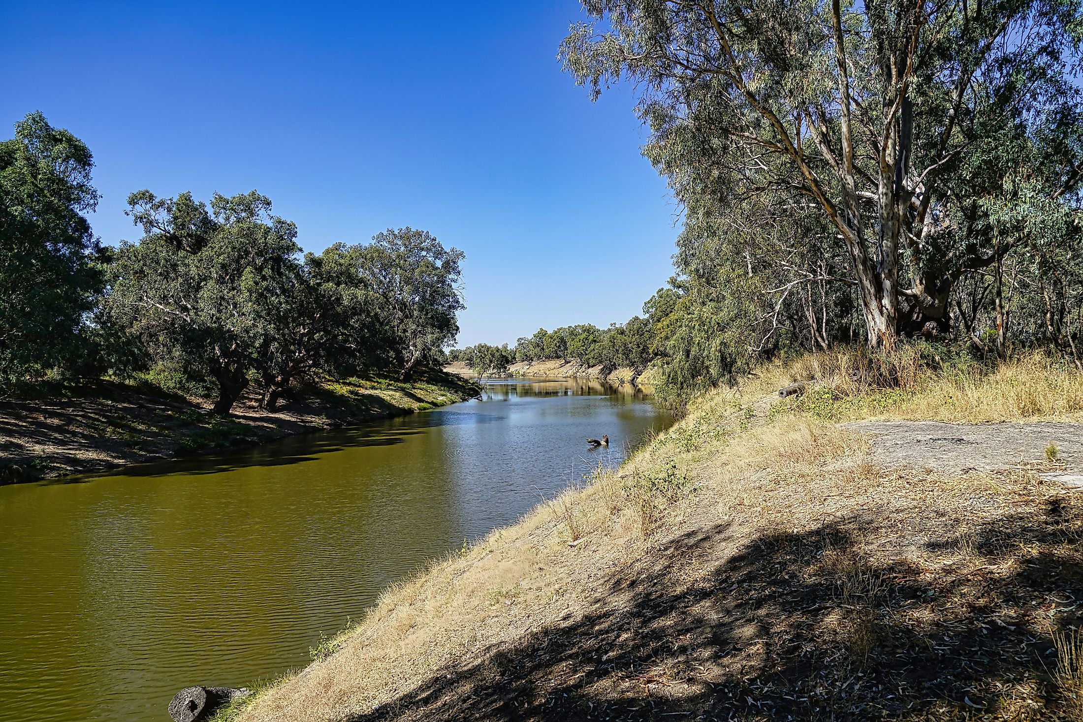
Course Of The Darling River

The Darling River is formed by several headstreams rising from the Great Dividing Range, near the New South Wales-Queensland border. The streams feed two main rivers, Barwon and Culgoa, that confluence at Brewarrina and Bourke in northern New South Wales to form the Darling River. The Barwon River is formed at the confluence of Weir and Macintyre River in Southern Downs, Queensland, and flows southwards and westwards. It receives 36 tributaries before joining the Culgoa River. The Culgoa is a continuation of the Balonne River’s western arm and receives 10 tributaries before forming the Darling River. The Severn River is considered Darling’s distant source as it successively turns into Dumaresq then Macintyre, one of the two main rivers forming the Barwon Rivers.

The Darling River flows south-southwestwards from Bourke and through a large saltbush plain, where it receives less than 250 mm of rainfall annually. The river receives several tributaries along its path, including Bogan, Little Bogan, Paroo, and Warrego Rivers. Several distributaries also leave the river and flow into an inland basin or salt flats and reemerge during wet years to join the main branch. The Great Anabranch branches off near Menindee Lakes and joins the Murray River, while the Talyawalka Anabranch leaves near Wilcannia and rejoins the river after about 135 kilometers. The Darling River flows past the Far West in New South Wales and joins the Murray River at Wentworth near the New South Wales-Victoria border and about 250 kilometers from Murray’s mouth in Goolwa, South Australia.
Brief History
The riverbank was home to several Aboriginal people for thousands of years. The pastoralist gradually colonized Darling’s headwater in Queensland from around 1815 onwards. In 1828, Sir Ralph Darling, New South Wales' Governor, sent Hamilton Hume and Charles Sturt to explore Macquarie River’s lower course. Charles came across the Bogan River in the same year and upper Darling River early the following year and named it after the State's Governor. The Australian explorer and surveyor Major Thomas Mitchell sailed the river but never reached its mouth. The river facilitated navigation and transportation for the remainder of the 19th century, but the traffic declined with the railway development.
Population Centers In The Darling River Basin

The winter rainfall line divides the Darling River Basin into two parts, namely eastern humid farmland and western arid pastoral region. The pastoral portion, covering approximately 324,000 square kilometers, is dominated by woolgrowers. Agriculture is mainly practiced along the river where irrigation is possible. For instance, fodder is grown in Brewarrina, Bourke, and Wilcania, while citrus and grapefruits farming occurs in Mallee. Other major population centers in the Darling River Basin include Louth, Wentworth, Pooncarie, and Tilpa.


