What Is a Doab?
Doab is a word used particularly in Pakistan and India to describe a region of land that lies between two confluent or converging rivers. The regions where doabs are found are typically near rivers, and they are primarily low lying areas such as floodplain and are often highly fertile. Mostly they are formed as a result of sedimentation and agriculture is widely practiced in regions with doabs.
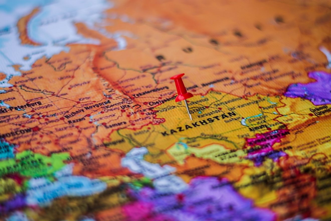
Doabs of Asia
The northern part of Pakistan and India has numerous rivers flowing in the region forming different doabs. The Indo-Gangetic plains are made of alternating parts of river Bangar and Khadir. The Bangar doab is not prone to flooding because it lies on a higher altitude compared to other doabs and subsequently they are less fertile. The Khadir is also referred to as Naili or Nali, and it is the region lying in the north of Haryana and the fertile prairie lying between southern ends of Saraswati channel and Ghaggar River which receives floods when there are rains. The Barani doab also lies within the Bangar region, and it is an area where rain-fed dry farming is widely practiced, but currently, it depends on tube wells for irrigation purposes. The Bagar region is typically a piece of land on the fringes of the state of Rajasthan which connect the state of Punjab and Haryana. On the other hand, Nahri refers to any canal of an irrigated land, for instance, the Rangoi tract which refers to the region irrigated by Rangoi canals made to carry floodwaters from the Ghaggar River to other dry areas. The villages around the doabs have historically been classified as a Khadir, Khadir-Bangar, or Bangar and taxes have always been levied based on the land productivity scale.
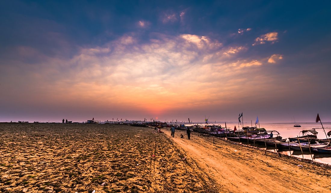
Yamuna-Ganga Doab
This doab is also known as Uttar Pradesh, and it refers to the alluvial and flat tracts of land which lie between the Yamuna and the Ganges River, and it extends from the confluence of the two rivers at Allahabad to the Silvalik hills. The area covered by the Yamuna-Ganga doab is approximately 23,360 square miles and extends for 500 miles long and 60 miles wide. It is made up of a huge trough of land which lies between the Deccan plateau in the south and the famous Himalayas in the north. The doab was formed as a result of sediments being deposited by the rivers flowing south from the Himalayas. The area covered by the doab has featured prominently in both the myths and history of Vedic era. The British crown in India divided the doab into three distinct administrative regions known as the lower doab also known as Allahabad, the middle doab also known as Agra, and the upper doab also known as Meerut.
Economic Activity in the Yamuna-Ganga Doab
The principal economic activity in the region is agriculture and particularly intensive cultivation. Some of the popular crops in the region include legumes, cereals, fruits, vegetables, and sugarcane. The region is also popular for livestock farming, and dairy farming has been the most important activity. Yamuna-Ganga doab is also a highly industrialized region producing textile, machinery, utensils made of copper and brass, automobile radiators, printed calico, railroad equipment, and insulated wires among other products.