Which Countries Border The United States?
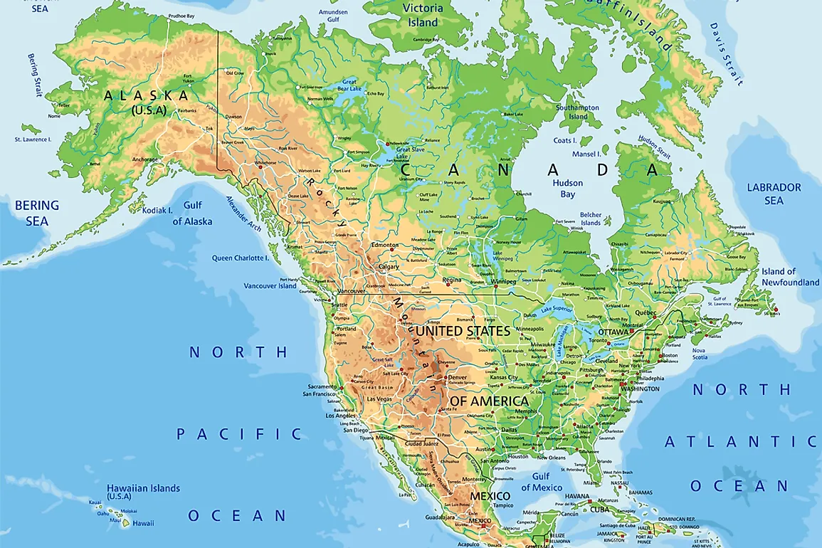
With a land border that stretches 7,593 miles, the United States borders Canada in the north and Mexico in the south. Also known as the International Border, the Canada-United States border is the world’s longest land border that is shared by two countries. In addition to its land border, the United States has a maritime border shared with Russia, Cuba, and the Bahamas. The delineation of the United States’ borders was achieved through numerous treaties that the country signed over the course of its history.
The United States-Mexico Border
The border shared by the United States and Mexico is 1,954 miles in length, making it the second-longest international border in North America. The border spans from the Gulf of Mexico in the east to the Pacific Ocean in the west. A considerably long section of the border follows the Rio Grande River. A section of the border, at San Ysidro, San Diego, claims to be the world's busiest border crossing with around 14 million crossings every year.
The current border between the United States and Mexico is as a result of international agreements made in the 19th century between the United States, Mexico, and Spain. These agreements include the Gadsden Purchase, the Adams-Onis Treaty, and the Treaty of Limits.
The United States-Canada Border
The border between the United States and Canada is not only North America's longest international border but also the world’s longest border between two countries, spanning a total 5,525 miles in length. Manitoba, Alberta, Yukon, Ontario, New Brunswick, British Columbia, Quebec, and Saskatchewan are the eight provinces and territories in Canada found along the border. On the US side, Montana, Washington, Alaska, North Dakota, Minnesota, Pennsylvania, New York, Ohio, Maine, New Hampshire, Vermont, Michigan, and Idaho are the 13 American states that touch the border. Alaska’s border makes up a significant portion of the border, with a length of 1,538 miles, but the Canadian province of Ontario has the longest portion of any state, province or territory, accounting for 1,715 miles. The border was established in September 1783 as a result of the Treaty of Paris, signed in the aftermath of the American War of Independence, but the border took up its current delineation in April 1908 after the signing of the Treaty of 1908 between Great Britain and the United States.
For the most part, the border crosses remote regions with mountainous terrain and dense forests. Military presence along the border is minimal, making it the world’s longest undefended border. Security along the border has, however, heightened since the time of the September 2001 terrorist attacks. The biggest issue along the US-Canada border is an increase in drug, firearm and alcohol smuggling that has been witnessed in recent years. The busiest crossing along the border of the United States and Canada is the crossing at Detroit, Michigan in the United States and Windsor, Ontario in Canada.
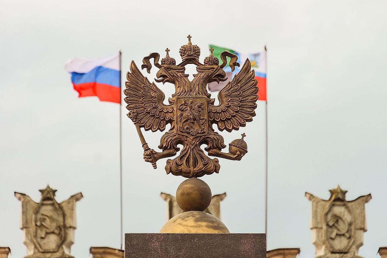
The United States-Russia Maritime Border
The United States and Russia share a maritime border at the Bering Sea that is known as the Russia-United States Maritime Boundary. The need for the establishment of the maritime boundary arose after Alaska was sold to the United States by the Russian Empire. The border was delineated after the signing of the Baker-Shevardnadze agreement that resulted in the establishment of the Baker-Shevardnadze line along which the maritime boundary now follows. The agreement and international line were named after the American Secretary of State and Russian Foreign Minister who signed the treaty; James Baker and Eduard Shevardnadze. The maritime border doubles up as the world’s International Date Line. Some islands found on either side of the maritime border become interconnected in the winter after the freezing of the sea, making illegal cross-border movement possible. However, this is very rare.
The United States-Cuba Maritime Border
The United States and Cuba share a maritime border as Cuba is located near the state of Florida. Established in December 1977, the maritime border came into being after the signing of an international treaty between the two countries in a meeting held in Washington, D.C. Despite the fact that the countries have never ratified the treaty, both countries respect the outlined boundary line and hold meetings after every two years to revise the agreement.