Which Countries Border Argentina?
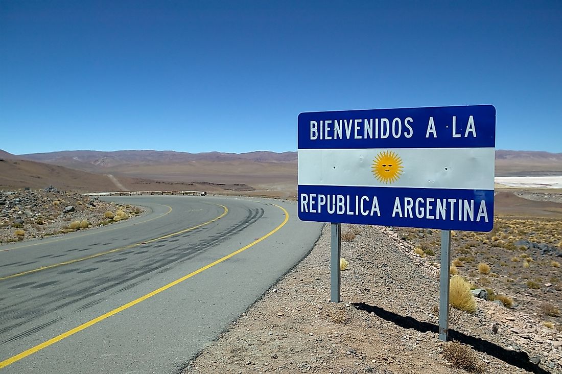
Argentina is among the largest countries in the world, covering an area of over 1.073 million square miles. Of all South American nations, the country is only exceeded in size by Brazil. The country has a long land border measuring a total of 7,322 miles long. Argentina shares its extensive land border with its five neighboring countries of Bolivia, Uruguay, Brazil, Chile, and Paraguay.
Most of the Argentinian border was established by the Kingdom of Spain when it set up colonies in South America, and the countries retained the basic outline of the border after the independence and only making a few adjustments. Argentina has contested the border for many years leading to numerous territorial disputes with some of its neighbors including Uruguay in the Pulp Mill Dispute, and Chile in the Beagle Conflict.
Bolivia
Bolivia is among the countries with which Argentina shares a land border. The tripoint connecting Chile, Argentina, and Bolivia marks the start of the border and extends east until ending at the Paraguay-Chile-Bolivia tripoint. The border has three crossing points where cross-border movement is regulated. The eastern-most crossing point is the La Quiaca-Villazon crossing which connects the town of Villazon in Bolivia to Argentina’s town of La Quiaca. The other crossing point is the Profesor Salvador Mazza-Yacuiba border crossing connecting the Argentine town of Profesor Salvador Mazza to Yacuiba in Bolivia. The western-most crossing point is the Aguas Blancas-Bermejo border crossing which connects the town of Bermejo to the border town of Aguas Blancas.
Chile
Chile is situated west of Argentina, and the two countries share a long land border. The border is the longest on the continent and is among the longest in the world stretching 3,200 miles in length. Only two borders exceed the Argentina-Chile border in length; the US-Canada and Russia-Kazakhstan borders. The Argentina-Chile-Bolivia tripoint marks the start of the border from where it moves south to the Isla Grande de Tierra. Some of the major geographical features found along the border include the Atacama Desert, the Andes Mountains, Mount Fitz Roy, and the Patagonian Ice Field. One of the most populous cities in Argentina, Mendoza, also lies near the border.
History of the Chile-Argentina Border
The two countries inherited the border after gaining independence from Spain in the 1810s. However, neither country agreed with the definition of the border, particularly in the Patagonia region. The 1881 Boundary Treaty was responsible for the establishment of the border between the two countries. The treaty was signed in Buenos Aires by representatives of the two countries in July 1881 and saw the demarcation of the border over land that was then mostly unexplored.
Border Disputes
The definition of the border has been disputed by both countries for many years and has been central in numerous territorial disputes involving Argentina and Chile. One of the infamous disputes is the Beagle Conflict where the two bordering countries disagreed on the ownership of three islands; Nueva, Lennox, and Picton. The conflict nearly degenerated into an armed conflict pitting the two nations against each other, in 1978. However, the territorial disputes are often solved through bilateral treaties preventing the nations from going to war. An example is the Treaty of Peace and Friendship which was organized by the Vatican and mediated by Pope John Paul II in 1984. The treaty resulted in the two countries agreeing on the southern demarcation of the border.
Uruguay
Uruguay is another of Argentina’s bordering nations and lies northeast of the country. The border delimiting Uruguay and Argentina is 359 miles in length. The Brazil-Uruguay-Argentina tripoint represents the start of the land border from where it extends south until it reaches Rio de la Plata specifically at the confluence of the Parana and Uruguay rivers. A significant portion of the river is defined by the natural course of the Uruguay River. Over its course, the land border touches six departments in Uruguay namely Paysandu, Salto, Rio Negro, Colonia, Artigas, and Soriano, and three provinces in Argentina which are Buenos Aires, Entre Rios, and Corrientes.
History of the Uruguay-Argentina Border
Uruguay’s official name is, “The Eastern Republic of Uruguay,” which denotes the position of the country with the position of the Uruguay River. The river has been used as the border between the two countries for centuries, and the history goes back to the period when the two countries were European colonies. There have been instances when the border was revised for example in 1815-16 when Brazil (yet a colony) attempted to annex part of Uruguay to establish the Province of Cisplatina. The current definition of the border was stipulated in the Treaty of Montevideo which also resulted in the formation of the Republic of Uruguay. The two countries were engaged in a territorial dispute over the definition of the border at the Rio de la Plata in what is known as the Uruguay River Pulp Mill Dispute and the Martin Garcia Canal Dispute. In an attempt to solve the Martin Garcia Canal Dispute, Uruguay and Argentina signed the Montevideo Treaty in 1973. The treaty provided for the establishment of areas in the Rio de la Plata where Argentina and Uruguay have exclusive jurisdiction and others where the two countries have shared jurisdiction.
Brazil
Brazil is one of Argentina’s bordering countries and is situated northeast of the country. The international border was first established in the Treaty of 1898 and has remained unchanged since then. An interesting fact about the border is that it is defined by waterways, with only 15 miles of the border being on land. The tripoint connecting the two countries to Paraguay represents the starting point of the border which is also the location of the confluence of the Iguacu and Parana Rivers. The border follows the course of several rivers including the Santo Antonio, the Iguacu, the Peperi-Guacu, and the Uruguay Rivers. From the tripoint, the border stretches 761 miles and ending at the Brazil-Uruguay-Argentina tripoint which is marked by the mouth of the Quarai River. One of the most popular features found on the border is the Iguacu Falls. The Brazil-Argentina border features 310 boundary markers.


