What Are The Limits Of The Argentine Sea?
The Argentine Sea is situated on the southeastern shores of the Argentine mainland. The Argentine Sea has a salinity of approximately 3.5%. Numerous rivers including Deseado River, Colorado River, and the Rio Negro among others drain into the Argentine Sea. Uruguay, Chile, and Argentina are situated on Argentine’s Sea’s basin.
The Limits of the Argentine Sea
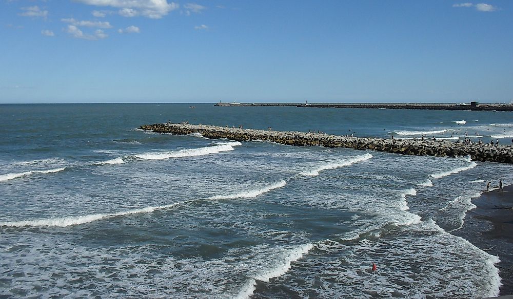
The Argentine Sea is part of the South Atlantic Ocean, and it extends from the Argentine coast southwards towards Tierra del Fuego. The Argentine Sea is roughly 500 miles north of Antarctica. The maximum depth of the Argentine Sea is 7,296 feet while its average depth is 3,952 feet. It is one of the world’s biggest seas and it occupies an area of about 390,000 square miles. The sea widens as it extends southwards with the platform of plateaus. The Argentine Sea’s platform is composed of numerous plateaus that descend eastwardly. Due to its stair-shaped platform, it resembles the Extra-Andean Patagonia morphologically.
Biodiversity
The Argentine Sea has 12 regions that are identified as areas of great diversity. The Argentine Sea has 18 provincial protected areas as well as one national and one international protected areas. It is one of the world’s most temperate seas and it receives the warm Brazilian Current from the northern side and cool Falkland currents from the Antarctic in the south. Some of the animals found in the Argentine Sea include sea lions, dolphins, whales, cormorants, fur seals, and Burmeister’s porpoise. These animals feed on the anchovies, sardines, crustaceans, planktons, and algae that are found in the Argentine Sea.
Territorial Claims
Argentina’s territorial water extends 12 nautical miles from the line between San Jorge and the San Matias gulfs to the external limits of Rio de la Plata. Their Exclusive Economic Zones stretches 200 nautical miles after the Argentine territorial waters. The Argentine EEZ overlaps with the claims which the United Kingdom has maintained for the Falkland Islands. The Falkland Islands territorial claim begins at the midpoint between the islands and the Argentine mainland before stretching 200 nautical miles to all other sides. Mining and fishing in the region were administered by a joint commission that was formed between the UK and Argentina from 1990 to 2005 and decided to use an aggressive stance on its claim.
Territorial Dispute over the Argentine Sea’s Islands
Both Argentina and the UK claim the Falkland Islands. Argentina claims that they acquired the islands from the Spanish after gaining their independence in 1816. However, the UK expelled their settlers and authorities from the islands in 1833 and barred them from resettling in the Falkland. The United Kingdom based their claim on their continuous administration of the region since 1833. The British Prime Minister informed the Argentine president in a meeting that was held in 2009 that there would be no negotiations over the independence of the islands. The islands had a referendum on their political status in 2013, and over 99.8% of the islanders voted in favor of remaining under the UK. Argentina does not recognize the locals as partners in the talks over the island’s sovereignty.


