Is North America And South America One Continent?
- Some people feel there are just 5 continents on Earth, and others argue for a 7-continent model. It depends on where you are located and who is teaching you.
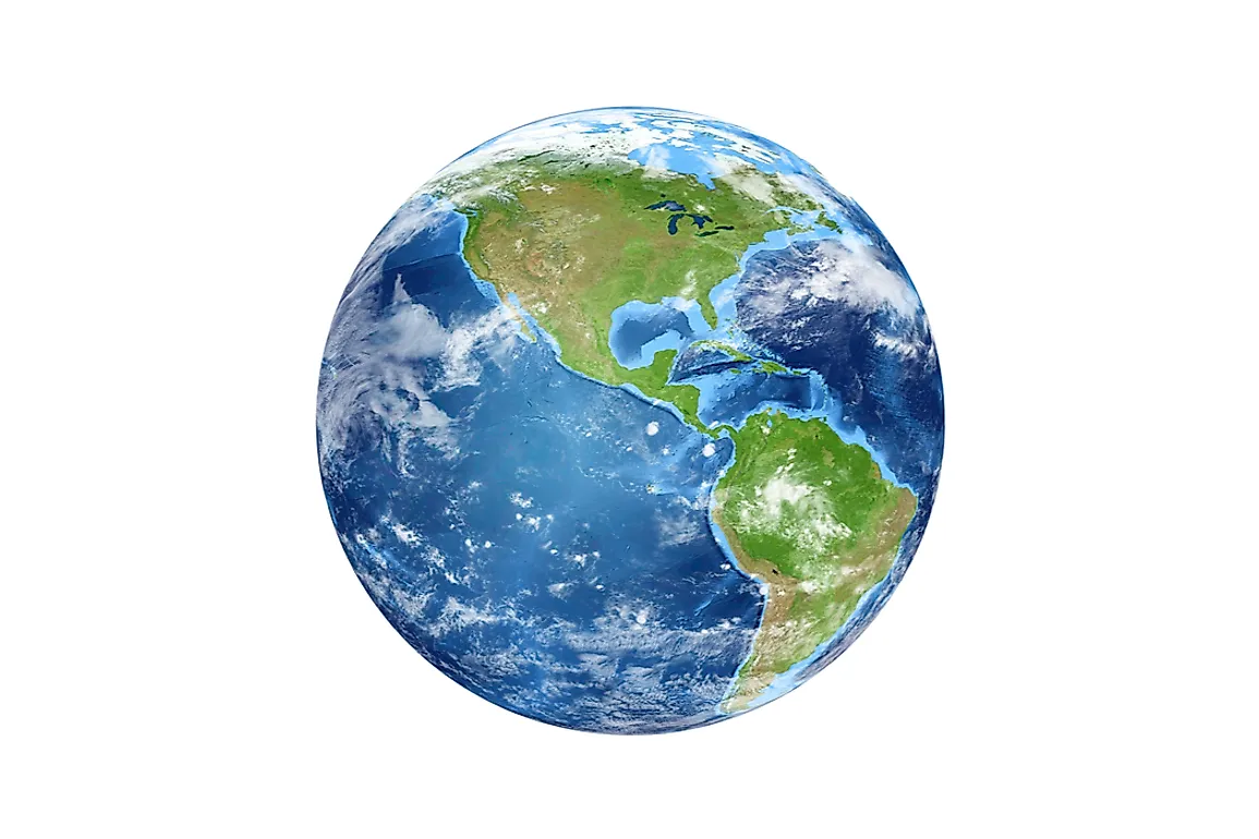
- When considering North America and South America as separate continents, North America is made up of Canada, the US, Mexico, the countries of Central America, and those of the Caribbean.
- The largest continent is Asia, covering an amazing 17,226,200 square miles or 44,614,000 square kilometres.
What constitutes a continent may seem to be straight forward. You might think of a continent as being a large landmass that can be composed of more than one country. But this isn’t always the case. What about areas that are seemingly connected but that might be considered to be separate entities?
Depending on where you live in the world and who is teaching you, you may have learned there are just five continents on Earth: Australia, Eurasia, Africa, and North and South America. Sometimes, the Americas are lumped together as one continent, and Antarctica is included as the fifth. In other places, students are taught the seven-continent model. Under these guidelines, the continents include North America, South America, Australia, Asia, Africa, Europe, and Antarctica. Some schools of thought also advocate yet another model, with just six continents, lumping Asia and Europe together into Eurasia, yet keeping and North and South America separate.

As such, the answer to the question in this article’s title is both “yes” and “no.”
Here is a look at how a continent is defined and where the divisions lie between North and South America when considering them as two separate areas.
What is a Continent?
A continent is a larger, continuous mass of land that people generally regard to be one combined region. The largest continent on Earth is Asia, occupying about 17,226,200 square miles (44,614,000 square km), and the smallest is Australia with 3.32 million square miles, (about 8.59 million square km).
Where Is the Division Between North and South America?
Geologists believe the continents move as part of a theory called plate tectonics. This hypothesis states that the outer layer of the Earth including the continents, called the lithosphere, sits on top of a layer that is semifluid, called the asthenosphere. This layer is thought to be made of molten magma, the stuff that erupts out of volcanoes. Although it sounds a bit far out, it is thought the radioactive elements in layers below the asthenosphere decay and cause convection, which in turn pushes the continental plates around like graham cracker squares on a pile of cake icing. Complicated. Too bad it probably doesn’t taste as good, but it is an important aspect of our Earth's surface.
When considering North America and South America as two distinct continents, they are divided in the following way: in general terms, North America sits between the Arctic Circle to the north, and the Tropic of Cancer to the south, extending for some 9,355,000 square miles (24,230,000 square km). This continent is located about 500 miles (800 km) from the North Pole and the Equator at either end of its reach. The Arctic Ocean and the Beaufort Sea border North America to the North, and the Labrador Sea to the northeast, and the Atlantic Ocean to the east. The Caribbean Sea borders the continent to the southeast, and the Pacific Ocean to the west. The Bering Sea and the Chukchi Sea border North America to the Northwest.

Inside the continent of North America can be found the countries of Canada, the US, and Mexico, as well as the smaller countries that occupy Central America, and the island countries and territories of the Caribbean.
South America, in contrast, is the southern portion of the Americas, bounded by the Caribbean Sea in the north and northwest, and the Atlantic and Pacific Oceans to the east, west, and south. The Atlantic Ocean sits to the northeast, east, and southeast of South America, and the Pacific Ocean sits to its west.
South America joins North America at the Isthmus of Panama, which is a land bridge that is only about 30 miles (50 km) wide at its narrowest point.
The countries of South America, which covers about 6,878,000 square miles (17,814,000 square km), include Colombia, Venezuela, Chile, Argentina, Brazil, Ecuador, Peru, Bolivia, Paraguay, Uruguay, Guyana, Suriname, and French Guiana.
One World
In conclusion, North America and South America are generally considered to be two separate continents by many revered scholarly authorities. It is possible, however, to encounter those who feel the Americas represent one large continent. What is most important to know is which countries lie within these different geographic areas, what they share, and how they are distinct in geography, culture, and politics.
The continents of the Earth are an impressive part of our planet’s structure, and something to be admired, regardless of how many of them you were taught there are in grade school.


