Maps of Oklahoma
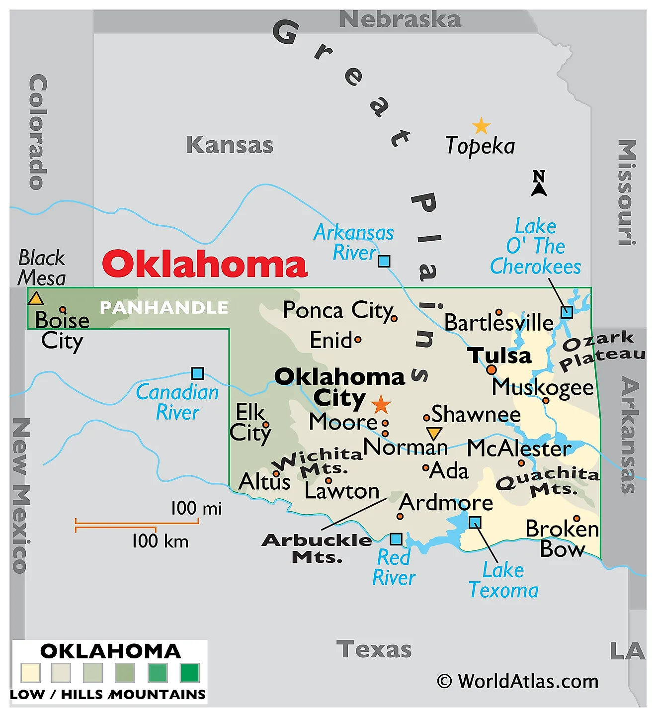
Oklahoma, a state located in the south-central region of the United States, shares its borders with six states: Texas to the south and west, New Mexico to the west at the tip of the panhandle, Colorado to the northwest, Kansas to the north, Missouri to the northeast, and Arkansas to the east. It does not border any oceans. Oklahoma encompasses a total area of about 69,899 mi2 (181,037 km2).
Oklahoma, from west to east, is divisible into ten primary geographic regions:
High Plains: This region covers the Oklahoma Panhandle, a narrow strip extending westward. Characterized by flat to rolling terrain, the High Plains rise gradually from the east to the west. This region is part of the Great Plains of the United States and experiences a semi-arid climate. This region contains the state's highest point, Black Mesa, which rises to 4,973 feet (1,516 meters) above sea level.
Gypsum Hills: Situated west of the center of the state, the Gypsum Hills feature rugged terrain with mesas, buttes, and canyons. This area is notable for its gypsum rock formations and red soil, lending the landscape a distinctive appearance.
Red Beds Plains: Located in the central part of Oklahoma, the Red Beds Plains are characterized by red soil and gently rolling hills. The region is named for its red sedimentary rock, which is visible in many of its geological formations.
Red River Valley Region: This region lies along the southern border of Oklahoma, adjacent to the Red River. It is primarily a flat, fertile area known for its agriculture, and it borders part of the Arbuckle Mountains to the north and the Ouachita Mountains to the east.
Wichita Mountains: In southwestern Oklahoma, the Wichita Mountains (a separate entity from the Ouachita Mountains) are an ancient mountain range characterized by rugged and rocky terrain, with numerous granite outcrops and distinctive reddish granite hills. This region is home to the Wichita Mountains Wildlife Refuge, which provides a protected habitat for species such as American bison, elk, and Texas longhorn cattle, and the region also is home to a variety of native grasses and wildflowers.
Sandstone Hills: The Sandstone Hills, located in the east-central part of the state, are characterized by rolling hills and rocky terrain. This region is distinguished by its sandstone formations and abundant oak forests.
Arbuckle Mountains: The Arbuckle Mountains, found in south-central Oklahoma, are one of the oldest mountain ranges in the United States. They feature a striking topography with rolling hills and steep slopes. These mountains are made up of several types of rocks that have been folded and faulted such as ancient granitic and metamorphic rocks, rhyolitic rocks, and various sedimentary rocks ranging from very old to relatively younger formations.
Prairie Plains: Stretching across the north-central part of the state, the Prairie Plains are characterized by flat to gently rolling terrain. This region is primarily covered with prairie grasses and is part of the larger Great Plains ecosystem.
Ouachita Mountains: Located in southeastern Oklahoma, the Ouachita Mountains are known for their distinct east-west ridges. This region is marked by dense forests, steep hillsides, and rocky terrain.
Ozark Plateau: Extending into northeastern Oklahoma, the Ozark Plateau is characterized by steep hills, deep valleys, and a rugged landscape. This area is known for its natural beauty and is a continuation of the Ozark Mountains of Missouri and Arkansas.
Major Bodies of Water: Major rivers include the Arkansas River, which flows through the eastern part of the state, and the Red River, forming part of the southern border. The state also has numerous lakes, including Lake Texoma, one of the largest reservoirs in the country, and the Grand Lake o' the Cherokees.
Counties Map

The State of Oklahoma is divided into 77 counties. In alphabetical order, these counties are: Adair, Alfalfa, Atoka, Beaver, Beckham, Blaine, Bryan, Caddo, Canadian, Carter, Cherokee, Choctaw, Cimarron, Cleveland, Coal, Comanche, Cotton, Craig, Creek, Custer, Delaware, Dewey, Ellis, Garfield, Garvin, Grady, Grant, Greer, Harmon, Harper, Haskell, Hughes, Jackson, Jefferson, Johnston, Kay, Kingfisher, Kiowa, Latimer, Leflore, Lincoln, Logan, Love, Major, Marshall, Mayes, McClain, McCurtain, McIntosh, Murray, Muskogee, Noble, Nowata, Okfuskee, Oklahoma County, Okmulgee, Osage, Ottawa, Pawnee, Payne, Pittsburg, Pontotoc, Pottawatomie, Pushmataha, Roger Mills, Rogers, Seminole, Sequoyah, Stephens, Texas, Tillman, Tulsa, Wagoner, Washington, Washita, Woods, Woodward.
With an area of 11,040 sq. km, the State of Oklahoma is the 20th largest and the 28th most populous state in the USA. Located near the state’s center, along the North Canadian River is Oklahoma City – the capital and the largest city in Oklahoma. It hosts one of the largest livestock markets in the world.
Where is Oklahoma?
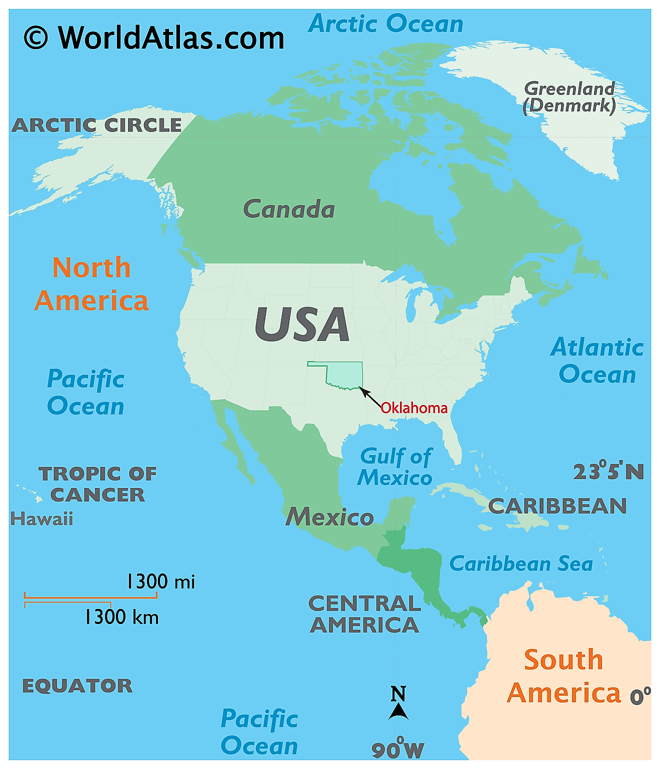
The State of Oklahoma is located in the South-central region of the United States. Oklahoma is bordered by the state of New Mexico in the west; by Colorado in the northwest; by Texas in the west and south; by Kansas in the north; by Arkansas in the east and by Missouri in the northeast.
Regional Maps: Map of North America
Outline Map of Oklahoma
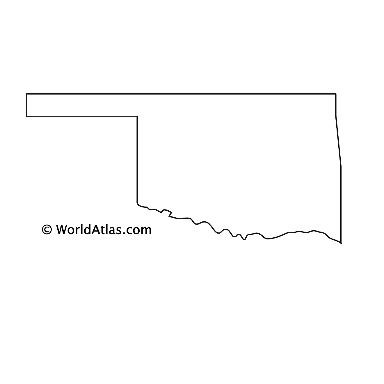
The above blank map represents the State of Oklahoma, located in the South-central region of the United States. The above map can be downloaded, printed and used for geography education purposes like map-pointing and coloring activities.
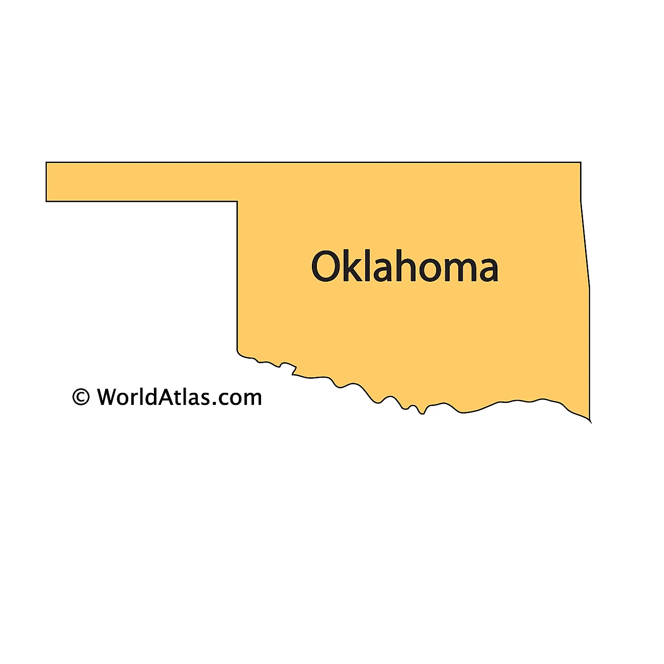
The above outline map represents the State of Oklahoma, located in the South-central region of the United States.
Key Facts
| Legal Name | State of Oklahoma |
|---|---|
| ISO 3166 Code | US-OK |
| Capital City | Oklahoma City |
| Major Cities |
|
This page was last updated on January 18, 2024

