Mediterranean Sea
Seas are defined as large water bodies that are partially enclosed by the surrounding landmasses. Covering an area of about 2.5 million km2, the Mediterranean Sea is the 10th-largest sea in the world located between Southern Europe and Northern Africa and accounting for about 0.7% of the global ocean area.
The term “Mediterranean” is derived from the Latin word Mediterraneus, where Medius means middle/between and Terra means land/earth. The sea was named Mare Magnum or Mare Internum by the ancient Romans. The Mediterranean Sea is also often referred to as the “Eurafrican Mediterranean Sea” by oceanographers due to its location between the continents of Asia and Europe.
Where Is The Mediterranean Sea?
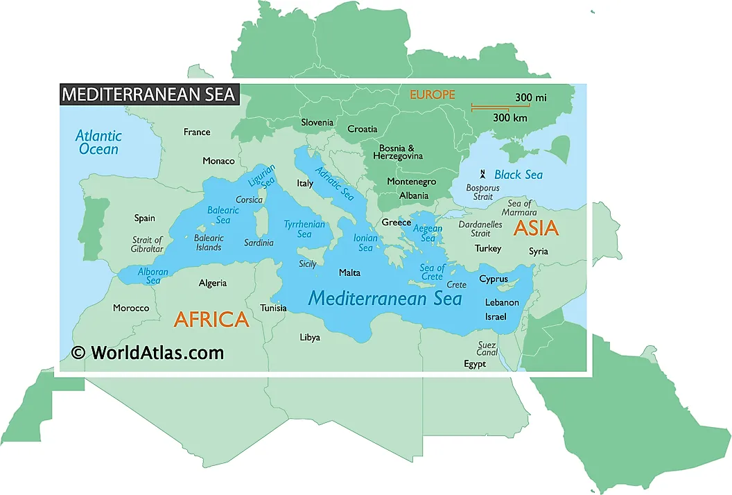
The Mediterranean Sea is bordered by the continent of Europe in the north; by Asia in the east and by Africa in the south. In the west, the Mediterranean Sea is connected to the Atlantic Ocean via the narrow Strait of Gibraltar. In the extreme northeast, it is connected to the Black Sea via the Dardanelles Strait, the Sea of Marmara, and the Bosporus Strait. The Mediterranean Sea is also connected to the Red Sea via the Suez Canal in the southeast. Some of the significant countries that are located along the Mediterranean Sea are Greece, France, Italy, Spain, Croatia, Algeria, Tunisia, Lebanon, etc.
Geography

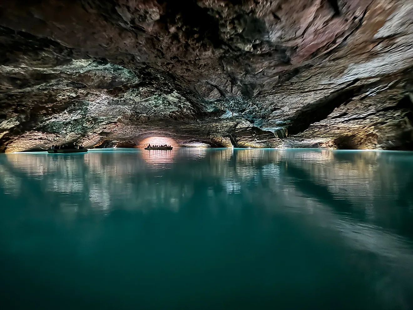
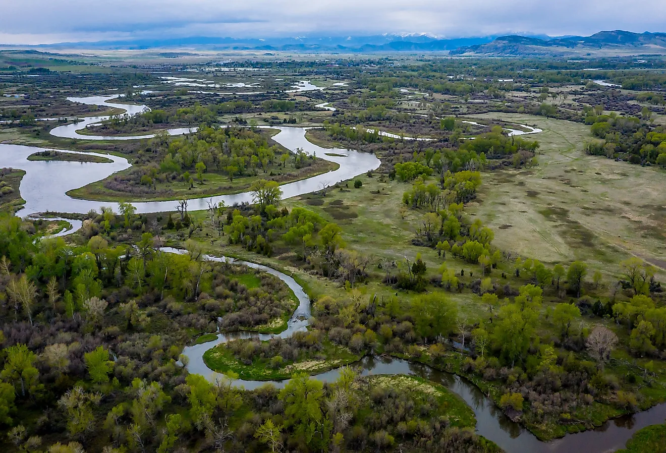
The Mediterranean Sea extends for about 4,000 km (west to east) from the Strait of Gibraltar to the Gulf of Iskenderun on Turkey’s southwestern coast. The sea has an average depth of about 1,500 m and a maximum depth of 5,267 m at its deepest point, the Calypso Deep in the Ionian Sea. A large number of rivers drain into the Mediterranean Sea including the Ebro, Rhone, Po, Nile, Tiber, etc. Several studies have indicated that the Mediterranean Sea waters are more saline compared to the waters of the Atlantic. Nevertheless, there is a continuous movement of water from the Atlantic into the Mediterranean and vice versa through the Strait of Gibraltar.
A 316 m-deep submarine ridge situated between Sicily and the African coast divides the Mediterranean Sea into eastern and western portions. The western portion of the Mediterranean Sea is further subdivided into three major submarine basins. These are the Alborán Basin, the Algerian Basin, and the Tyrrhenian Basin. The eastern portion of the Mediterranean Sea is subdivided into two principal basins: the Ionian Basin and the Levantine Basin. There are many major subdivisions of the Mediterranean Sea. These include the Aegean Sea, Adriatic Sea, Alboran Sea, Ionian Sea, Tyrrhenian Sea, Ligurian Sea, Balearic Sea, and Strait of Gibraltar. In addition to these, there are some other seas such as the Sea of Sardinia, Sea of Sicily, Libyan Sea, Cilician Sea, and the Levantine Sea. The Aegean Sea is further subdivided into the Sea of Crete, the Thracian Sea, the Myrtoan Sea, and the Icarian Sea.
The Mediterranean Sea experiences a typical Mediterranean climate with hot and dry summers and mild and rainy winters.
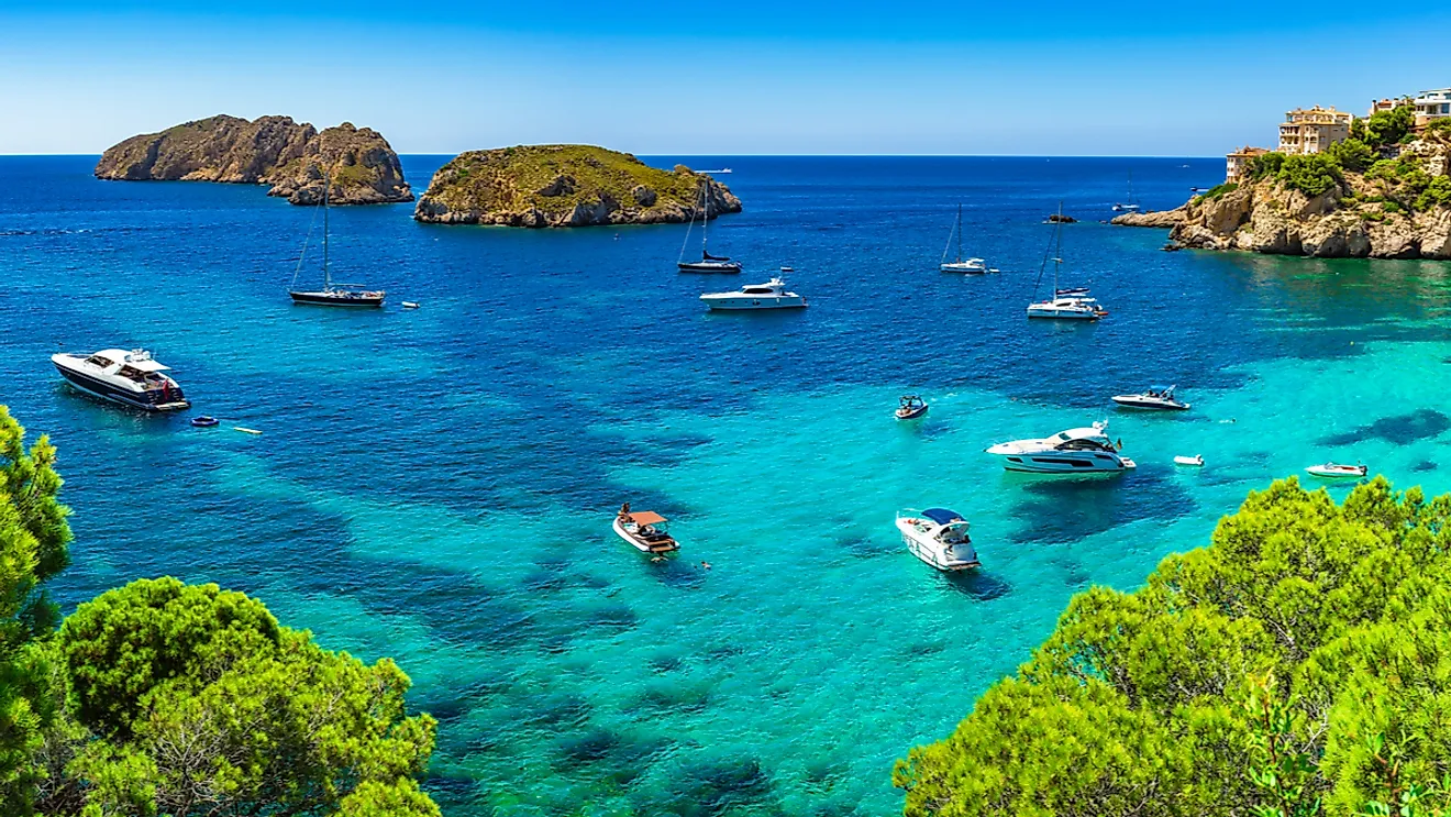
The Mediterranean Sea hosts numerous beautiful islands. Some of the large Mediterranean Islands include Corsica, Crete, Cyprus, Chios, Euboea, Lesbos, Mallorca, Rhodes, Sicily, and Sardinia. Covering a total area of about 25,711 km2, the island of Sicily is the largest island in the Mediterranean Sea. The islands of Euboea, Chios, Lesbos, and Rhodes are some of the dozens administered by Greece.
Brief History

The Mediterranean Sea basin was formed during the Late Triassic and the early Jurassic periods due to the convergence of the African and Eurasian plates. Geological evidence indicates that about 5.6 million years ago, during the Messinian salinity crisis, the Mediterranean Sea became mostly desiccated by evaporation and due to the closing of the Strait of Gibraltar. About 5.33 million years ago as a result of the Zanclean flood, the Atlantic waters rapidly refilled the basin to form the present Mediterranean Sea.
The Mediterranean Sea has been regarded as the birthplace of Western civilization. Many ancient civilizations such as the Phoenicians, Ancient Greece, and the Roman Empire were located along the shores of the Mediterranean Sea. Since ancient times, the Mediterranean Sea has served as an important transportation route and has influenced all the important civilizations that have occupied its shores. It is believed that when the Persian King Darius I conquered Ancient Egypt, he had built a canal that connected the Mediterranean with the Red Sea.
Wildlife

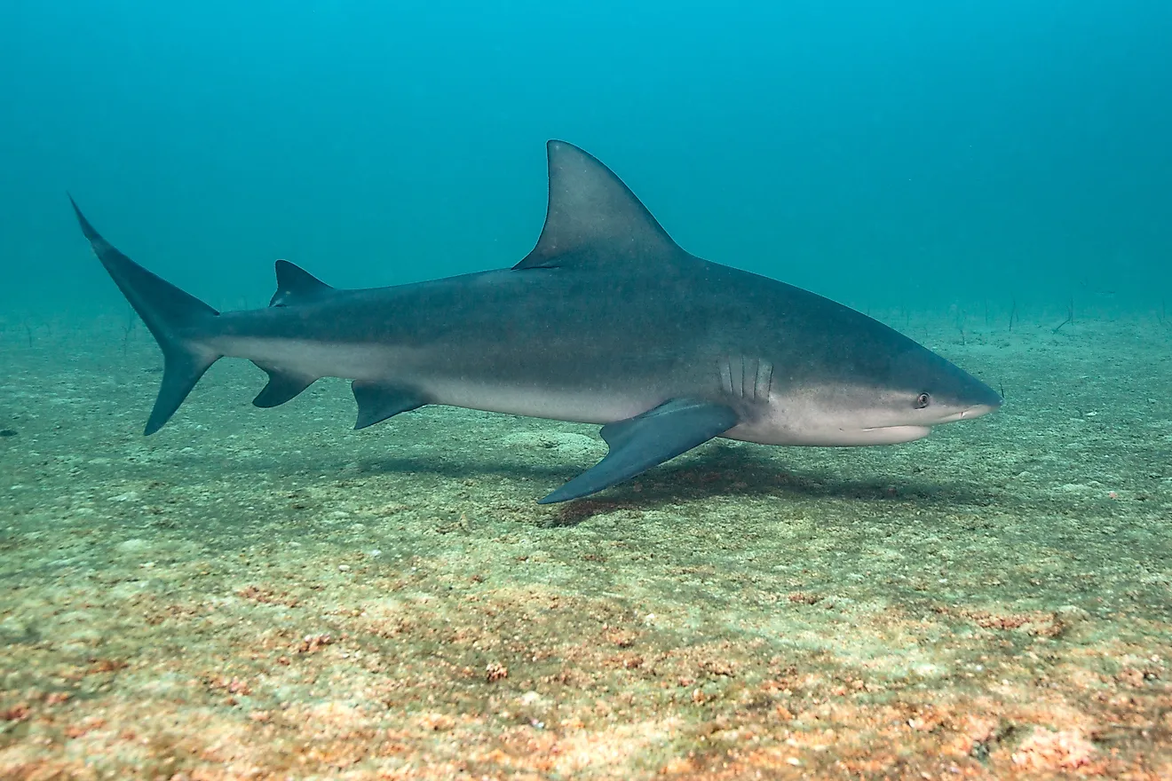
The Mediterranean Sea hosts an amazing diversity of marine wildlife. Some of the significant marine animals that are found here include loggerhead turtles; different species of sharks and rays like giant devil ray, shortfin mako shark, and Maltese skate; the Mediterranean monk seal, and many species of whales, dolphins, and porpoises. Numerous commercial marine fishes such as bluefin tuna, grouper, sea bass, sardines, anchovy, and hake are also found here. However, all these species of fishes are threatened with extinction due to severe overfishing.
Economy

The areas surrounding the Mediterranean Sea contain some of the world’s famous tourist destinations. Tourism thus accounts for a major source of income for the coastal Mediterranean countries. Major cities like Alexandria, Rome, Venice, Beirut, Athens, Marseille, Tel Aviv, etc are located along the Mediterranean Sea. The sea and the regions surrounding it are also very economically viable through fishing and agriculture.