Ligurian Sea
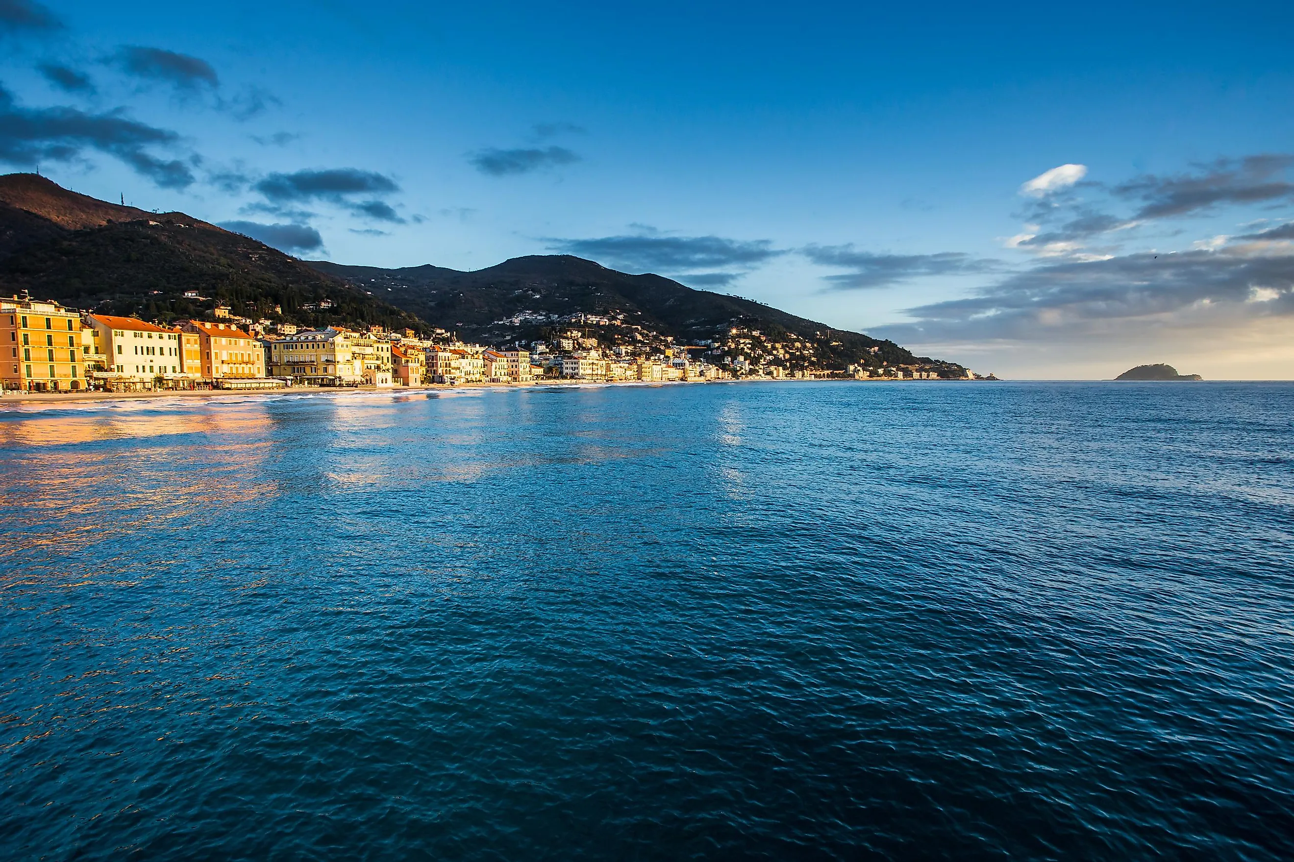
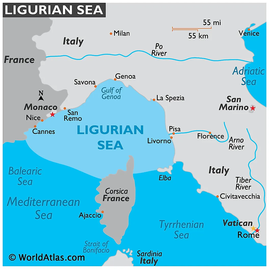
The Ligurian Sea is a part of the Mediterranean Sea that is located between the northwestern part of Italy and the southeastern part of France. The sea is known as “Mer Ligurienne” in French, and as “Mar Ligure” in Italian. The sea was likely named after the Ligures people who lived in the area. The Ligurian Sea is positioned between Liguria in the north, Tuscany in the east and the islands of Corsica and Elba in the south. It is bordered in the west by the Mediterranean Sea and is connected in the southeast with the Tyrrhenian Sea. The Gulf of Genoa lies in the northern part of the Ligurian Sea.
Geography
The Ligurian Sea has a depth of about 2,850 m at its deepest point, located northwest of Corsica island. Many rivers that originate in the Apennine Mountains drain into the Ligurian Sea. The Arno River from the east also drains into the Ligurian Sea.

The important ports that are located along the Ligurian Sea are Genoa, Livorno, and La Spezia. Some of the most urbanized and industrialized coastal regions are located along the Italian coastline of the Ligurian Sea.
Marine Life

Some of the notable cetaceans that are found in the waters of the Ligurian Sea include the striped dolphin (Stenella coeruleoalba), Cuvier’s beaked whale (Ziphius cavirostris), Risso's dolphin (Grampus griseus), sperm whale (Physeter catodon), and common bottlenose dolphin (Tursiops truncatus).
To protect these cetaceans, the countries of France and Italy have established a “Specially Protected Area of Mediterranean Importance” in the Ligurian Sea. Covering an area of 84,000 km2, an International Whale Sanctuary known as the “International Ligurian Sea Cetacean Sanctuary” has been established in the Ligurian Sea region.


