Nile River
The River Nile, known as the father of the African River, is Africa and the world’s longest river, stretching approximately 6,650 kilometers from its sources (Blue and White Nile) to the mouth at the Mediterranean Sea. However, some researchers have contested its status as the world’s longest rivers, bestowing honors upon South America’s Amazon River.

The Nile drainage basin is about 3,349 million square miles, the third-largest drainage area, and includes parts of eleven countries; Kenya, Uganda, Tanzania, Egypt, Sudan, South Sudan, Ethiopia, Rwanda, Burundi, DR Congo, and Eritrea. The river has a maximum width of 2.8 kilometers and an average depth of 8-11 meters. It discharges an average of 2,830 cubic meters of water per second.
Source
Two principal tributaries combine to form the Nile River; the White Nile and the Blue Nile. However, the Kagera River is considered the Nile’s distant source. The Kagera River is the longest source of Lake Victoria, located in Eastern Africa. Either Nyabarongo River (Rwanda) or Ruvyironza are considered the source of the Nile River because they both flow into the Kagera River, which eventually flows into Lake Victoria.

The White Nile emerges from Lake Victoria, in Jinja, Uganda, as the Victoria Nile and flows through Lake Kyoga and Lake Albert. The river emerges from Lake Albert as the Albert Nile and enters South Sudan at Nimule, where it is called the Mountain Nile. The river joins Bahr el Ghazal at Lake One to form the “White Nile,” then continuous northwards into the neighboring Sudan, where it merges with the Blue Nile to form the Nile River.

The Blue Nile originates from Lake Tana, Ethiopia, and flows for about 1,460-1,600 kilometers through Ethiopia and Sudan before joining the White Nile. The main source of Lake Tana is the Gilgel Abay. From Lake Tana, the Blue Nile flows for about 30 kilometers southwards and enters into a 400-km long Grand Canyon of the Nile. Between Lake Tana and the canyon, the river receives inflow from several rivers, including Walaqa, Bashilo, and Wanqa Rivers on the left bank and Tul, Handassa, Abbaya, and Tammi Rivers, among others, on the right bank. From the canyon, the river flows northwestwards to the border between Ethiopia and Sudan. In Sudan, the Blue Nile flows for about 650 kilometers, with the Dinder River joining on the right bank at Dinder. The river then continues to Khartoum, where it joins the White Nile to form the Nile River.
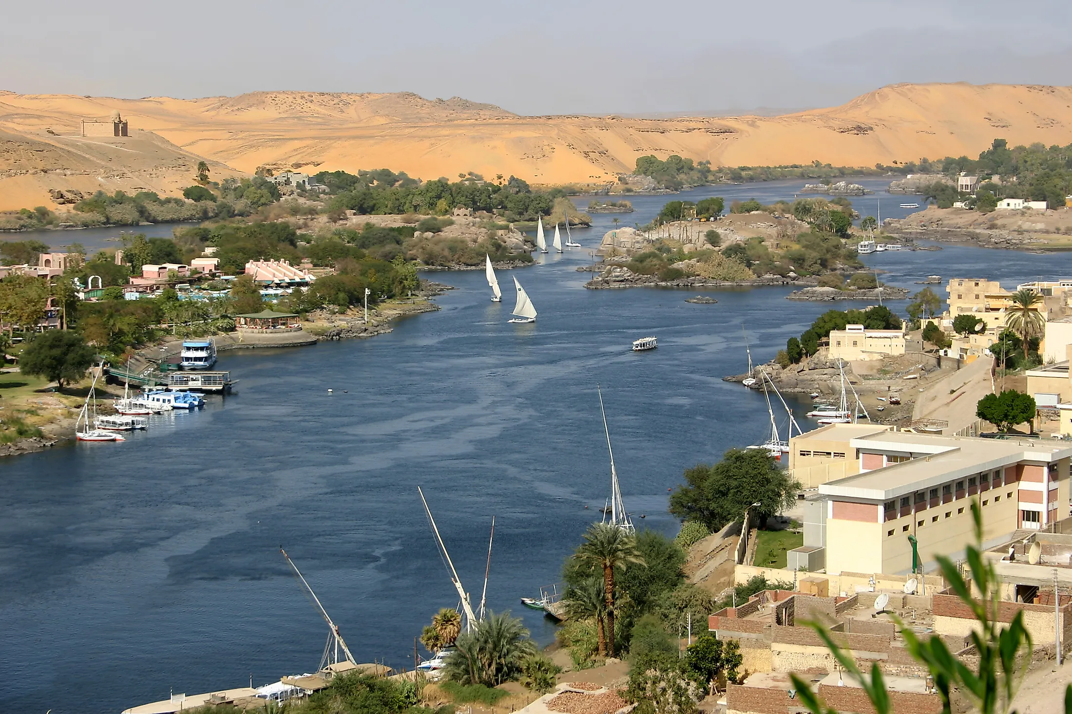
Course Of The Nile River

From Khartoum, the Nile flows in two distinct parts. The first part flows for about 1,380 kilometers to Lake Nasser, with the river passing through a desert region. The second part flows for about 80 kilometers over five cataracts before reaching Sabaloka, the sixth and highest cataract. From here, the river flows northwards for about 12 kilometers through hills, then takes an S-bend at Barbar and flows for about 285 kilometers. The Nile assumes a northward flow at the end of the bend at Dongola and crosses the third cataract before entering Lake Nasser.

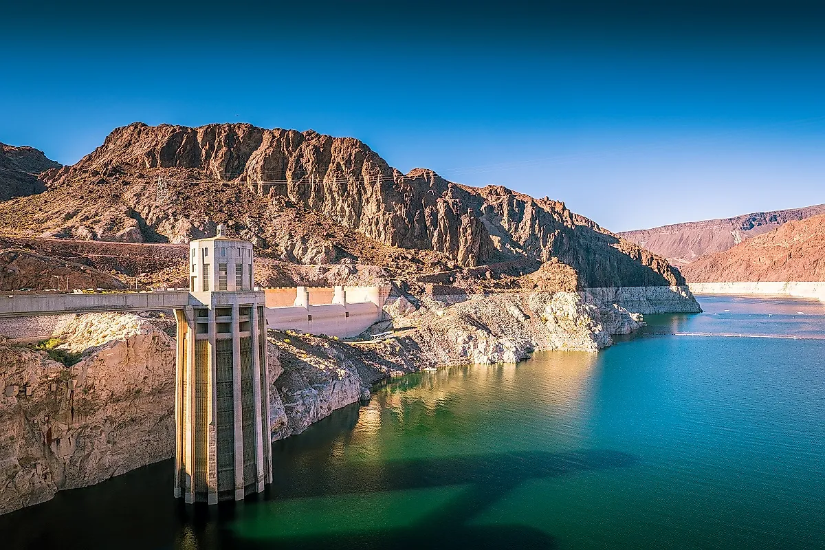
Lake Nasser stretches from northern Sudan (where it is known as Lake Nubia) into southern Egypt and is the world’s second-largest artificial lake. From Nasser (below the Aswan High Dam), the Nile flows northwards to North Cairo. The river enters a delta region in North Cairo, where it splits into two distributaries, Rosetta on the west and Damietta on the east. The two distributaries empty into the Mediterranean Sea. The Nile Delta contains sediments, most of which originate from the Ethiopian plateaus. The thickness of the silts varies between 50 and 70 feet and contains Africa’s most fertile soil.
Climate And Hydrology

No part of the Nile experiences the true Mediterranean or tropical climate. The basin area covering Egypt and Sudan does not receive any rainfall during northern winter, while the southern areas, including the Ethiopian highlands, receive heavy rains of up to 1,520 millimeters. The northern trade winds, prevailing over the basin from October to May, cause the arid climate experienced in most parts of the basin. The East African lake region experiences tropical climates, characterized by well-distributed rainfall and little temperature variations. Here, the mean temperature ranges between 60 and 80 degrees Fahrenheit. The remainder of the basin experiences a desert-like climate, characterized by a dry atmosphere, high-temperature variations, and little to no rainfall. The temperatures often exceed 100 degrees Fahrenheit in Aswan.
Before the 20th century, little was known about the Nile’s hydrology. The only ancient records available were those that the Egyptians made regarding the river's water levels. Thus, the Nile’s periodic rise remained a mystery for the better of the 19th century until the role played by the tropical region on the river’s regime was discovered. Today, its river regime is the best known of any large river.

The Nile floods during summer because of the high tropical rains in Ethiopia. The floods begin around April in South Sudan, with the Aswan feeling the effect in July. The Nile water rises throughout August and September and begins to fall in November. The river’s water is at its lowest level in March. Flooding is a regular occurrence though it varies in date and volume.
Lake Victoria is the Nile’s largest source, receiving about 23 billion cubic meters of water from the lake. Besides the lake, the river receives up to 20% of its water from the tributaries. The Nile’s major tributaries are the Red Nile (Atbara River), which joins the Nile while on its way to the Mediterranean Sea. The Red Nile only flows during the rainy season in Ethiopia and dries up during the dry season. Other major tributaries are the White and Blue Nile.
Flora And Fauna

Different plant zones exist along the Nile River, including tropical forests near the Nile-Congo divide. These tropical forests contain tropical plants such as rubber, ebony, bamboo, and coffee shrubs. Mixed woodland and savanna occur in the Lake Plateau and are characterized by perennial herbs, grass, and foliage trees. The Sudanese plains contain thorny trees, thin bushes, and grasslands, with the area becoming swampy during the rainy season. Common vegetations on these plains include reedmace, papyrus, water hyacinth, and water lettuce.
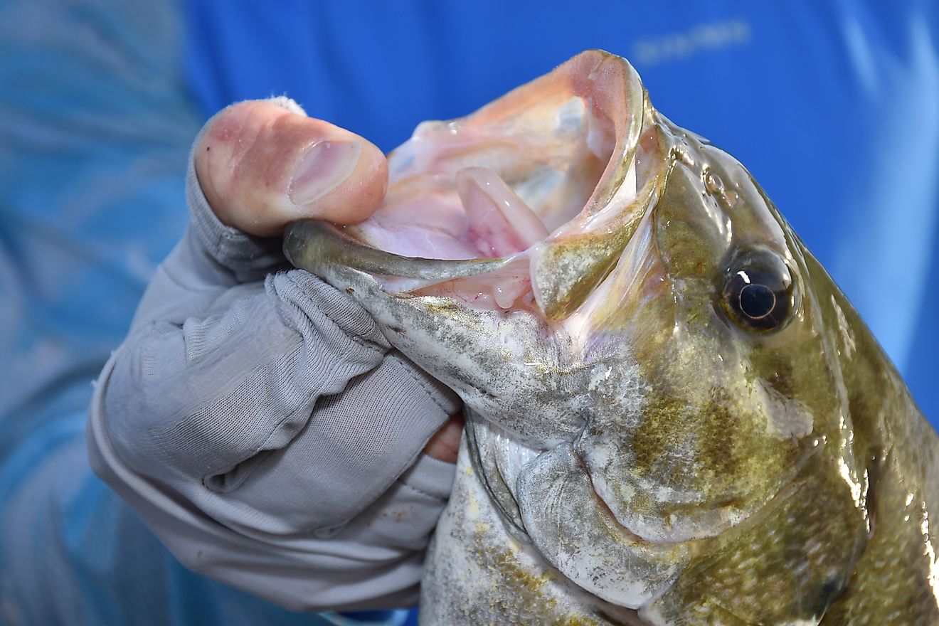
The Nile system contains varieties of fish species, including Nile perch, the barbell, bolti, elephant-snout fish, catfish, lungfish, spiny eel, and tiger fish. The reptiles include Nile crocodile, soft-shelled turtle, monitor lizards, and several snakes. Hippos are only found in the Al-Sudd region.