Maps of Bulgaria

Noted for its diversity, Bulgaria's landscape ranges from mountainous peaks covered in snow to valleys and lowlands giving way to the coast of the Black Sea. The Balkan Mountains cut across the central part of the country, while the Rhodope Mountains run through southern Bulgaria, along its border with Greece. The highest point in the country, located in the Rila Mountains, is Musala Mt., at 9,594 ft. (2,925 m). Moving on north of the Balkan Mountains the fertile lowlands of the Danubian Plain slope gradually down to the Danube River. The south-eastern lowlands (Maritsa Basin), drained by a series of small rivers, slope to the Black Sea. Major rivers include the Danube River, as it forms the northern border with Romania, and the Iskur, Maritsa, Struma, Tundzha and Yantra rivers.
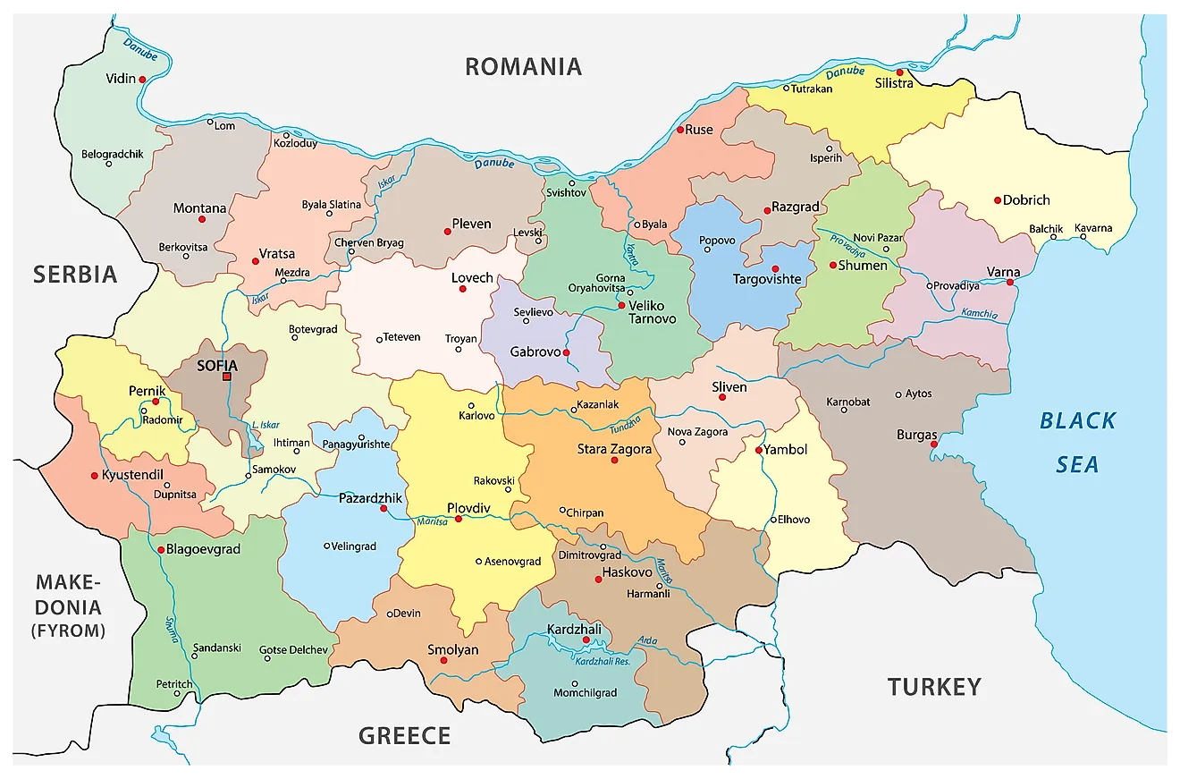
Bulgaria (officially, the Republic of Bulgaria) is divided into 28 provinces (oblasti, sing. oblast). In alphabetical order, the provinces are: Blagoevgrad, Burgas, Dobrich, Gabrovo, Haskovo, Kardzhali, Kyustendil, Lovech, Montana, Pazardzhik, Pernik, Pleven, Plovdiv, Razgrad, Ruse, Shumen, Silistra, Sliven, Smolyan, Sofia, Sofia-Grad (Sofia City), Stara Zagora, Targovishte, Varna, Veliko-Tarnovo, Vidin, Vratsa and Yambol. These provinces are further subdivided into a total of 265 municipalities.
With an area of 110,999 sq. km, Bulgaria is the 16th largest country in Europe. Located on the slopes of the Vitosha Mountains and the Sofia Valley, at the center of the Balkan Peninsula is, Sofia – the capital, the largest and the most populous city of Bulgaria. It is the main cultural and commercial center of the country.
Where is Bulgaria?

Bulgaria is a country located in the south eastern region of the European continent, occupying the eastern part of the Balkan Peninsula. It is geographically positioned both in the Northern and Eastern hemispheres of the Earth. Bulgaria is bordered by 5 countries: by Romania in the north; by Turkey and Greece in the south; by North Macedonia in the southwest and by Serbia in the west. It is bounded by the Black Sea in the east.
Bulgaria Bordering Countries: Macedonia, Greece, Turkey, Romania, Serbia.
Regional Maps: Map of Europe
Outline Map of Bulgaria

The above blank map represents Bulgaria, a southeastern European Nation, occupying the eastern part of the Balkan Peninsula. The above map can be downloaded, printed and used for educational purposes like map-pointing activities and coloring.

The above outline map represents Bulgaria, a southeast European nation. As can be observed in the map, Bulgaria has a rough rectangular outline.
Key Facts
| Legal Name | Republic of Bulgaria |
|---|---|
| Flag |
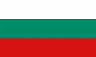
|
| Capital City | Sofia |
| 42 41 N, 23 19 E | |
| Total Area | 110,879.00 km2 |
| Land Area | 108,489.00 km2 |
| Water Area | 2,390.00 km2 |
| Population | 6,975,761 |
| Major Cities |
|
| Currency | Leva (BGN) |
| GDP | $67.93 Billion |
| GDP Per Capita | $9,737.60 |
This page was last updated on February 5, 2021