11 Overlooked Towns on the Pacific Coast Worth Visiting
One town's lighthouse sits on a little island that the Pacific seals off twice a day, and you cross to it on the rocks the low tide lays bare. One puts you in a kayak within arm's reach of wild sea otters. One is a forest trail out to the far northwestern tip of the Lower 48, the open Pacific below. Highway 101 and Highway 1 run right past all of them, between the big names everyone already stops for. These 11 towns line up north to south, from the Makah Reservation to Orange County, and late fall is the time to drive them, when a steam train pulls into a small-town tree lighting and a Christmas parade rolls up Main Street in Seal Beach on the first Friday in December.
Neah Bay, Washington

The drive starts as far northwest as the Lower 48 reaches, on the Makah Reservation at the top of the Olympic Peninsula. The hike to Cape Flattery, northwest of Neah Bay, ends at four observation decks above the ocean, and the trail is 1.5 miles round trip through old-growth forest, with trees more than 200 years old. Part of it is boardwalk, which keeps hikers out of the worst of the mud, and the rest is stairs and rooty dirt.
Highway 112 ends at the reservation line, and the road runs on into town, where the visitor center sells the Makah Recreational Permit that visitors need. The permit is good for the year and can also be bought online, and in winter the center is open from 10 a.m. to 2 p.m., Tuesday through Saturday. Hobuck Beach is popular with surfers and ocean kayakers, and the road out to Hobuck and the fish hatchery passes the trailhead for Shi Shi Beach and Olympic National Park.
Westport, Washington

Farther down the Washington coast, Westport plans part of its year around winter storms. Its observation tower is among the best places in the state for storm watching, and when the Pacific is at its roughest, the waves rise and tumble over the jetties. The town leans into that weather with its Storms and Seafood festival in late January and early February, when about 15 restaurants and four markets, including Brady's Oysters, take part and the Westport Maritime Museum runs a tuna filleting demonstration. On calmer days, the paved Westport Light Trail runs 1.3 miles through the grassy dunes of Westport Light State Park, and tours of the Grays Harbor Lighthouse climb 135 steps to the lantern room for $5. Merino's Seafood Market sells locally caught Dungeness crab and albacore tuna.
Rockaway Beach, Oregon

Across the Columbia River, on Oregon's north coast, Rockaway Beach is an easy stop for a steam-train ride. The Oregon Coast Scenic Railroad boards in Garibaldi, just to the south, and runs north along the shoreline into Rockaway Beach, and over the holidays it adds the Candy Cane Express on dates from late November into late December, with fares from about $23.
In daylight, Minnehaha Street has the best view of Twin Rocks, standing offshore. Old Oregon Smokehouse serves clam chowder, fish and chips, and crab cakes, with most of its seating outdoors. Nearby, Pronto Pup sells its namesake, a giant corn dog, and the mechanical Pronto Pup out front takes a few coins for a ride.
Waldport, Oregon

Past Newport on the central coast, Waldport sits on Alsea Bay, an estuary full of Dungeness crab, and the crabbing starts right at the docks. A free public crabbing dock is open on the Alsea River, the Port of Alsea marina has a crabbing platform, and Dock of the Bay Marina rents boats for anyone who wants to drop pots farther out. Crabbing in the bay is open year-round, and anyone 12 or older needs an Oregon shellfish license.
The Alsea River Water Trail, a 10-mile paddling route, follows the Alsea River, Drift Creek and Lint Slough. Five miles north of town, low tide uncovers tide pools around the rocks at Seal Rock State Recreation Site, and four miles south, Tillicum Beach, with national forest campsites facing the Pacific, is a spot for whale watching and sunsets.
Charleston, Oregon

Down on Oregon's south coast, the formal garden at Shore Acres State Park, outside the fishing village of Charleston, fills with thousands of lights and displays every night of the holidays, from Thanksgiving through New Year's Eve. The show runs from 4:30 to 9 p.m. and costs nothing to walk, but each car needs a time-specific parking pass, $10 per vehicle, reserved in advance. On weekends and the holidays themselves, a free shuttle runs to the lights from the Charleston Marina, with no reservation needed.
Shore Acres is out on the Cape Arago Highway, about 13 miles southwest of Coos Bay and North Bend, so getting there means leaving 101. Charleston is on the way, and its harbor is home port to a large commercial fishing fleet, with fishermen unloading their catch through the day. The Charleston Marine Life Center, by the boat basin, has whale skeletons that include a 23-foot orca and a 35-foot gray whale, plus a touch tank, and it is open Wednesday through Saturday.
In daylight, the park charges the same $10 parking fee, and storm season, typically December through February, brings its biggest waves. Just south, the Simpson Reef Overlook faces Shell Island, about a quarter mile offshore, where seals, sea lions and seabirds gather, so binoculars help.
Crescent City, California

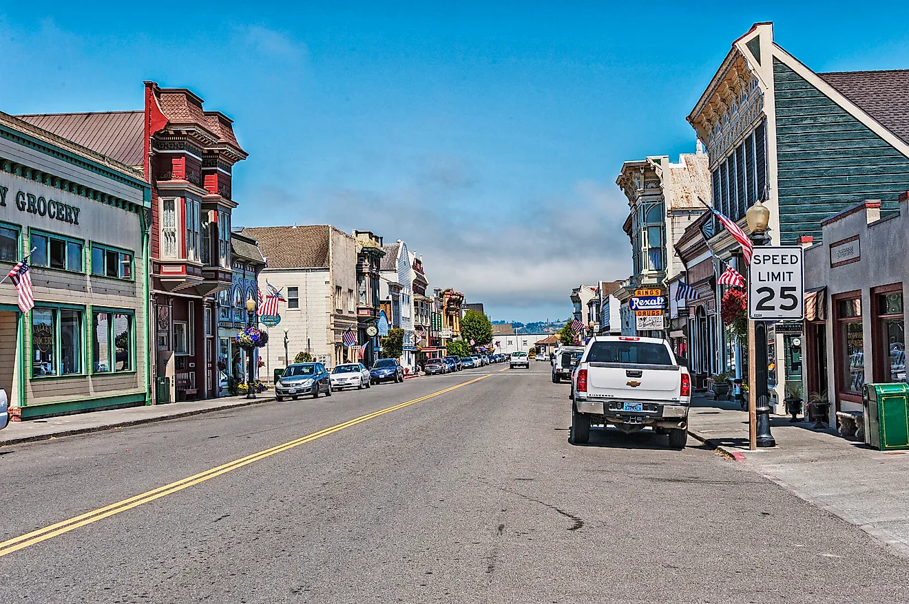
Across the California line, at the northern end of the Redwood Highway, Crescent City keeps its lighthouse on a tiny island, and reaching it depends on the tide. Battery Point Lighthouse stands off the city's southwest shore, at the foot of Lighthouse Way, and it can be crossed to only on foot at low tide. Tours run from 10 a.m. to 4 p.m., tides permitting, and the day's tour times are posted in the parking lot. Trails off Pebble Beach Drive look out toward St. George Reef Lighthouse and Castle Rock.
Crescent Beach, directly south of town, is a long curve of sand and a known spot for Roosevelt elk, and the Crescent Beach Overlook, three miles south, has picnic tables above miles of shoreline. On the first Friday in December, the Christmas Light Parade and tree lighting come through downtown. The closest redwoods are at Jedediah Smith Redwoods State Park, where Howland Hill Road, a single-lane gravel road, runs among the big trees.
Shelter Cove, California

Deeper into Northern California, Shelter Cove sits at the end of a real detour off US 101. Drivers exit for Redway, where the road to the coast starts just north of the grocery store, and the trip from Garberville takes about 45 minutes, zigzagging through redwood forest and climbing steeply before it descends to the town on the Lost Coast.
At the bottom, Mal Coombs Park, on the west side of town, holds the relocated Cape Mendocino Lighthouse, ringed by a concrete walkway, with picnic tables and no fee, and tidepools lie along the rocky beach below. Seal Rock Picnic Area, also on the west side, is a wildlife-watching spot. The Black Sands Beach Trail leads to Black Sands Beach, on the north edge of town, and from there more than 20 miles of walkable coastline run north. Gyppo Ale Mill bills itself as California's most remote brewery.
Gualala, California

Back on Highway 1, Gualala straddles a county line, on the Mendocino County side of the Gualala River, with its best-known park just across the river mouth in Sonoma County. Gualala Point Regional Park, at the northernmost point of the Sonoma Coast, has 2.9 miles of trails along the coastal bluffs and above the river, parking costs $8, and the visitor center is open most weekends. The bench at Whale Watch Point is a good place to pause and scan the water.
From the park, the Bluff Top Trail continues south into The Sea Ranch, where the coastal access trails have free parking and the 0.65-mile Shell Beach Trail leads to the shore. A landslide has cut off the Walk On Beach Trail at the bluff, and Stengel Beach access is closed for a stairway replacement expected to last through 2026.
In Gualala itself, the Gualala Arts Center fills with holiday events from late November, beginning with its free Festival of Trees and craft fair, followed by a Holiday Concert for the Coast in mid-December and a Brunch with Santa before Christmas.
Moss Landing, California

Down on Monterey Bay, the harbor town of Moss Landing keeps its sea otters a paddle away. Monterey Bay Kayaks and Kayak Connection both lead guided tours of Elkhorn Slough, a protected tidal estuary off the harbor, and the paddling puts people at eye level with the otters, while seals and shorebirds share the water.
From shore, groups of bachelor otters often gather in a cove near the dunes on the south side of Moss Landing State Beach, and Jetty Beach is on the west side of the north harbor. Farther inland, the Elkhorn Slough Reserve, open Wednesday through Sunday, has trails from just under a mile to a little over two miles, with docent-led walks at 10 and 11 a.m. on Saturdays and Sundays. Elkhorn Slough Safari, on Moss Landing Road, also runs boat tours of the slough.
Cayucos, California

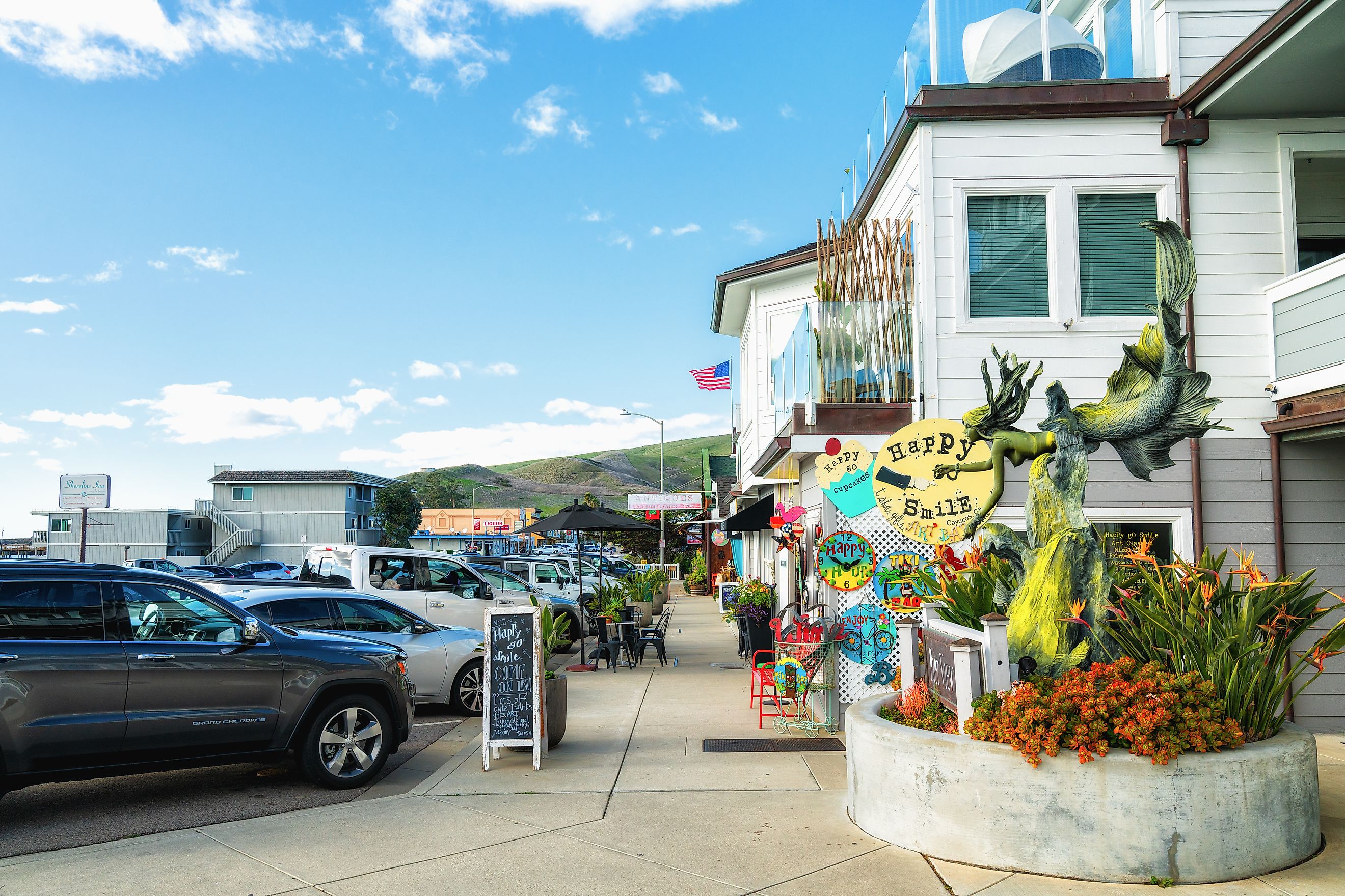
On the central coast between Cambria and Morro Bay, a morning in Cayucos can start with sea-salt shortbread from Brown Butter Cookie Company on North Ocean Avenue and a walk out on the pier, though high surf can close the pier over the winter, so it is worth checking first. In the afternoon, the antique stores along the boardwalk are there to browse, and just north of town, Estero Bluffs State Park is open for hiking and fishing.
In December, the town's tree lighting brings Santa and Mrs. Claus in on fire engines, and the next afternoon's Wonderland Walk keeps the shops on Ocean Avenue open late, with free horse-drawn carriage rides.
Seal Beach, California

The last stop, just southeast of Long Beach in Orange County, keeps a wildlife refuge that opens to the public about once a month. Seal Beach National Wildlife Refuge sits inside Naval Weapons Station Seal Beach and is closed except for special events and free guided tours on the last Saturday of each month, skipping December. Visitors register by phone by the Wednesday before, U.S. citizenship is required, and the walk starts at 8:30 a.m. outside the base's main gate, covers about a mile, and wraps up around 11:30.
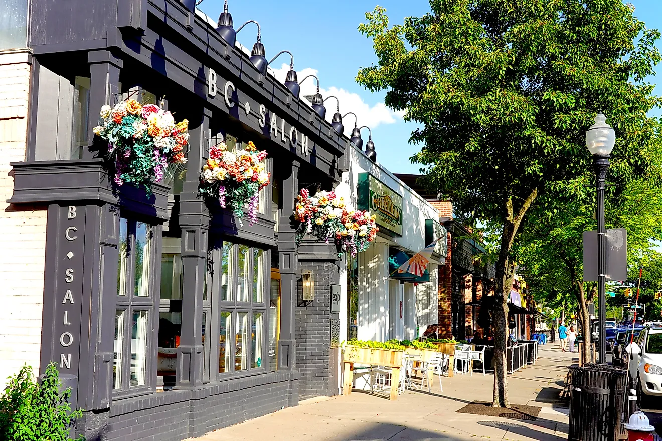
Main Street runs three tree-lined blocks from the 1,865-foot wooden pier up to Pacific Coast Highway. Sweet Jill's Bakery takes cash only and has an ATM inside, Walt's Wharf serves fresh fish, and the Bay Theatre mixes classic and new films. On the first Friday in December, the 48th Christmas Parade follows the same route, from the pier to the highway. Gum Grove Park has a eucalyptus-lined trail beside the Los Cerritos Wetlands.
Most of these turns reward timing more than a long stay. A tide chart decides the walk out to Battery Point and the tide pools at Seal Rock, and a reservation decides a night at Shore Acres or a morning inside the Seal Beach refuge, which skips December and opens again on the last Saturday of January. On the first Friday in December, two Christmas parades bracket most of the California coast, in downtown Crescent City and on Main Street in Seal Beach. After the holidays, the gray whales start passing the bluffs at Gualala, where the migration runs from January through May, and the bench at Whale Watch Point stays worth a stop well into spring.