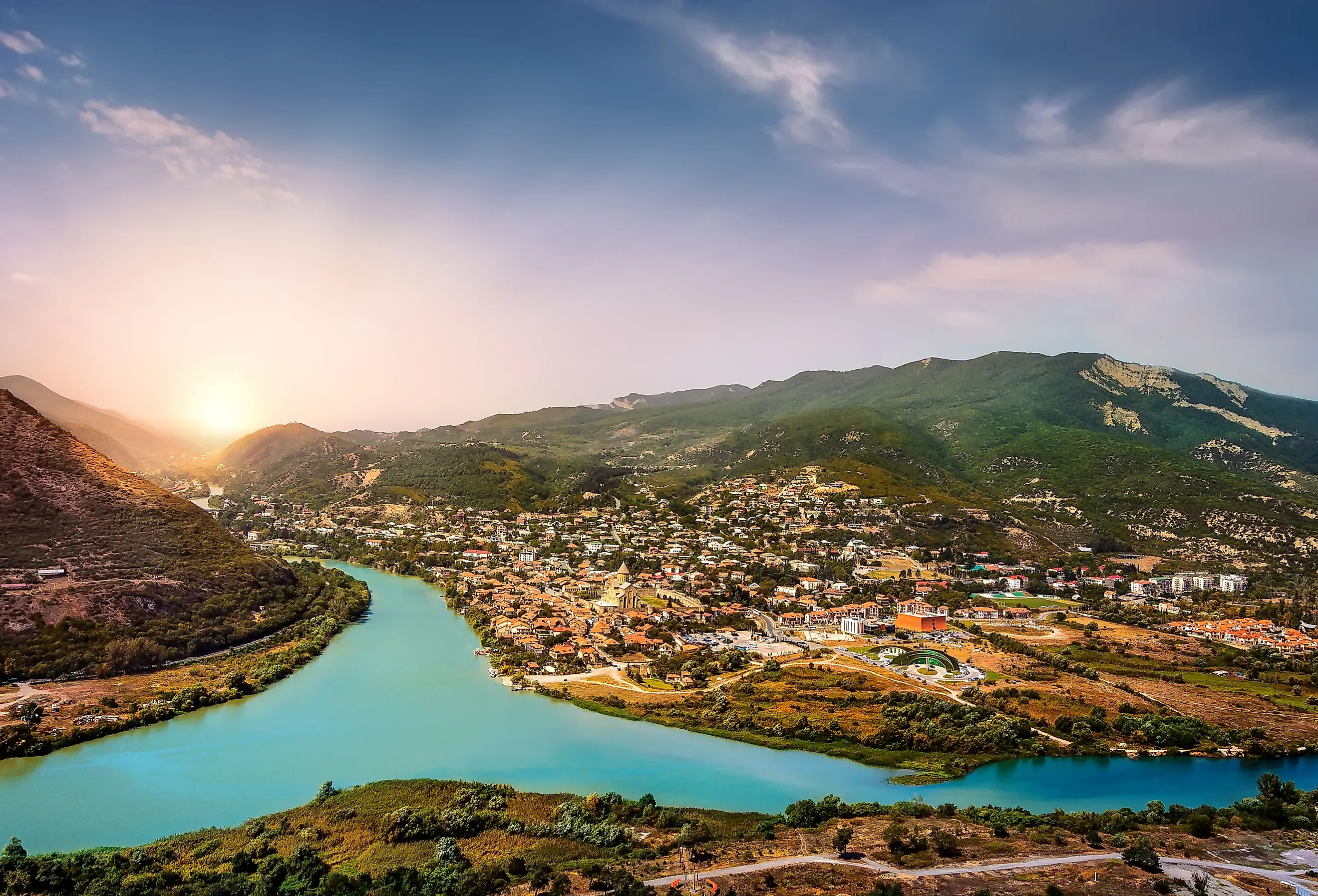
Kura River
The largest river in Transcaucasia, which encompasses the countries of Georgia, Armenia, and Azerbaijan, is the Kura River. Flowing through the Caucasus Mountains, it is its snowmelt from these mountains that feeds the river. For thousands of years, the Kura has been an important force for economic development in Turkey and the surrounding area because of its use for irrigation. However, lowering water levels due to human activity poses a potential problem for the surrounding environment. Despite the environmental issues, the Kura still proves to be one of the most important rivers in the region.
Geography

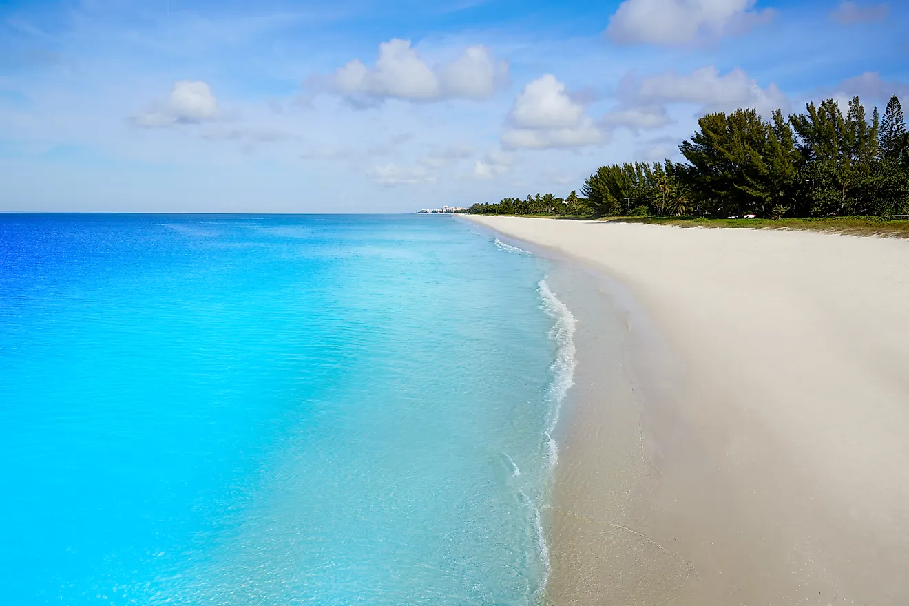
The Kura flows east through the mighty Greater Caucasus Mountains, the major mountain range in the Caucasus Mountains. The river starts in northeastern Turkey and flows through Turkey to Georgia and Azerbaijan. Once the river reaches Azerbaijan, the Aras River meets the Kura at the right tributary. The Aras is the largest tributary of the Kura River. As the river flows on, it enters the Caspian Sea at Neftcala. The total length of the river is 1,515 kilometers and drains an area of 188,000 sq km.
Since the Kura is in the mountains, it is above sea level. Most of the elevation changes happen within the first 200 kilometers of the river. The river starts at 2,740 meters above sea level but is only 291 meters above sea level when it reaches Azerbaijan.
The Course of The River

The Kura drains into the the southern slopes of the Greater Caucasus east into the Caspian Sea and the Lesser Caucasus. The main tributary of the Kura drains into the south side of the Lesser Caucasus mountains. As the river cuts through the Lesser Caucasus mountains, it meanders through a series of gorges with many rapids. When the river flows above the Georgian capital, it reaches a dam built on the Mtskheta narrows before broadening into an extensive lowland.
Other rivers within the country of Armenia and most of the ones in Azerbaijan are entirely drained by the Kura. The Kura River serves as an important irrigation function for the areas it passes through and many of the tributaries of the Kura are a source of hydroelectric power.
Water Sources

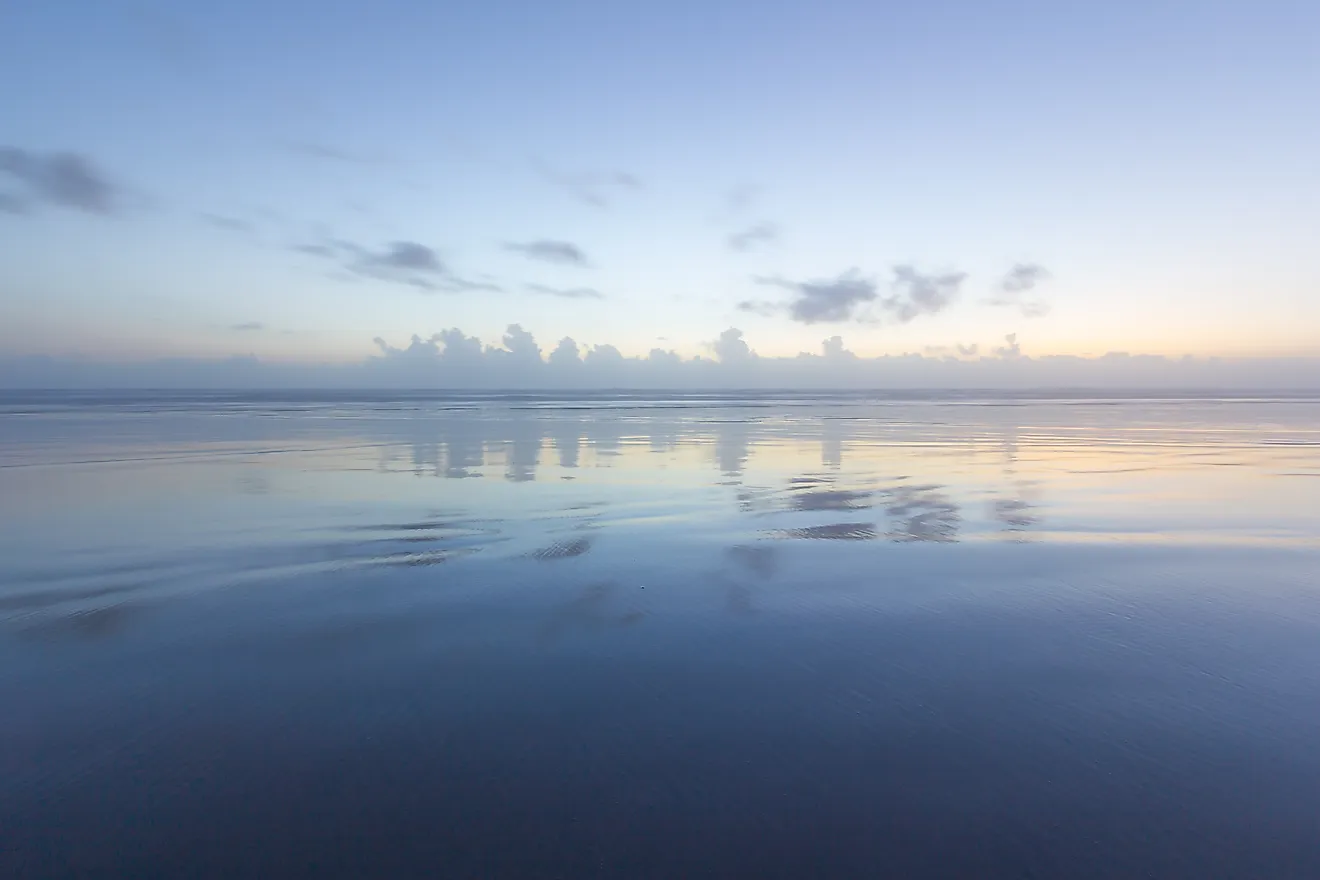
The main water source of the Kura is melting snow from glaciers in the mountains although rain also feeds into the river. In the spring, the water level in the river is the highest, and the variation in spring flooding from year to year changes. The water level variation continues throughout the first half of the summer. During the rest of the year, the water level is low. Sometimes the water level of the river rises due to heavy rainfall. There is also a large amount of alluvium, clay deposits, silt, and sand left by flowing floodwater in the Kura River. This makes the river extremely cloudy and after strong rains in the drainages of the Kura left-coast tributaries, the Kura becomes even murkier. The Kura carries so much alluvium each year that the total discharge by the Kura to the estuary is around 36,300,000 tons per year. Since the Kura has so much discharge, the river is expanding. The Kura grows around 65 m into the sea each year.
Ecology

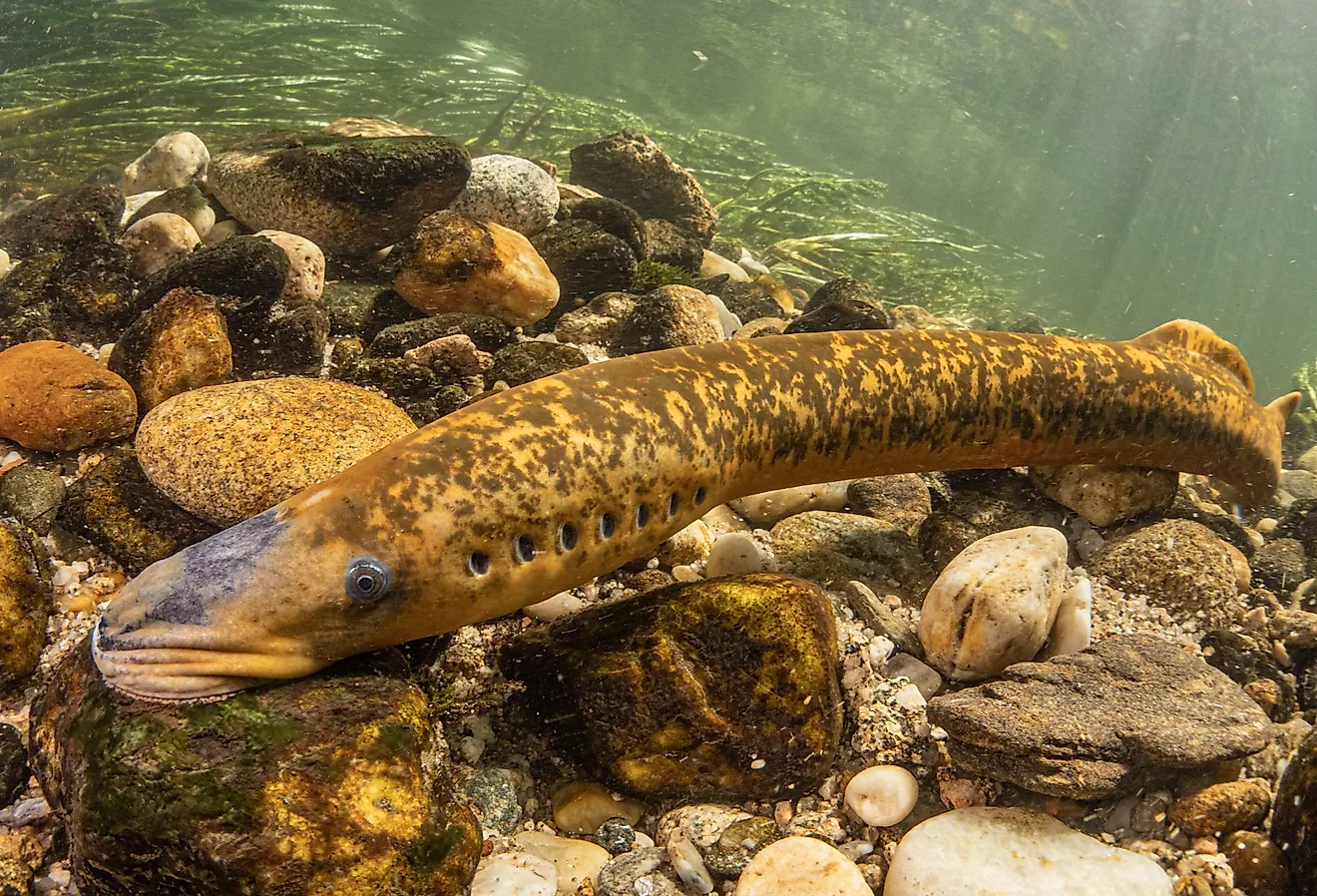
The Kura covers a large stretch of land and passes through a variety of landscapes. The Lesser Caucasus Mountains have different types of alpine meadows, steppes, and semi-desserts. By contrast, the Kura-Araks lowlands are an arid steppe with a dry landscape that turns into a semi-desert in the east. While the Kura passes by a variety of ecosystems full of different kinds of life, it is also teeming with life from within the river. There are nearly 60 species of fish within the different eco-regions of the Kura River. In the Kura-South Caspian Drainages, there are Gokcha barbel, Kura bleak, Kura loach, Terek nase, Sevan trout, and Orthrias praxis.
Brief History

Throughout human history, the Kura has been an important river. The name in Georgia for the river is Mt'k'vari. The translation of this word is uncertain. According to experts, it is either from Georgian "good water" or a Georgianized form of the word Megrelian, which means the river that eats its way through the mountains.
Since ancient times, irrigation has been one of the primary uses of the river. Irrigation on the river has happened for thousands of years, however, it was not until the 20th century that this had a significant impact on the river. Since the 1920s logging, grazing and agriculture have had a major impact on the ecology of the river. Logging and agriculture are responsible for the deforestation of the forested areas around the Kura. Today, grasslands stand in place of many of the old forested areas. This has had a determinantal impact on the Kura basin.
Environmental Impacts

Human use of the river has caused the water levels to significantly drop in the 20th century. Since so much water is being used for irrigation, around 20% of the water from the river no longer reaches the Caspian Sea. Today the Kura is one of the most stressed river basins in Asia. While people built dams and dikes to help with flood control in the river in the hopes of helping retain water, the high levels of alluvium in the river make the effectiveness of these measures minimal.
The reduction of the river has negative environmental, social, and economic effects. The water depletion from the Kura River has started to destroy the flora system along the river and the Tugai forests. The ruin of the forested habitat will turn more area into desert. This will affect the rivers used for irrigation.
Since many farmers in the area today depend on the river for irrigation this threatens their livelihood. This has detrimental economic and social implications for the people who live around the Kura River. To help mitigate the negative effects of lowering water levels, environmental organizations recommend people learn more about the importance of the Kura River. Reading this article is a great first step.