Guadalupe River, Texas
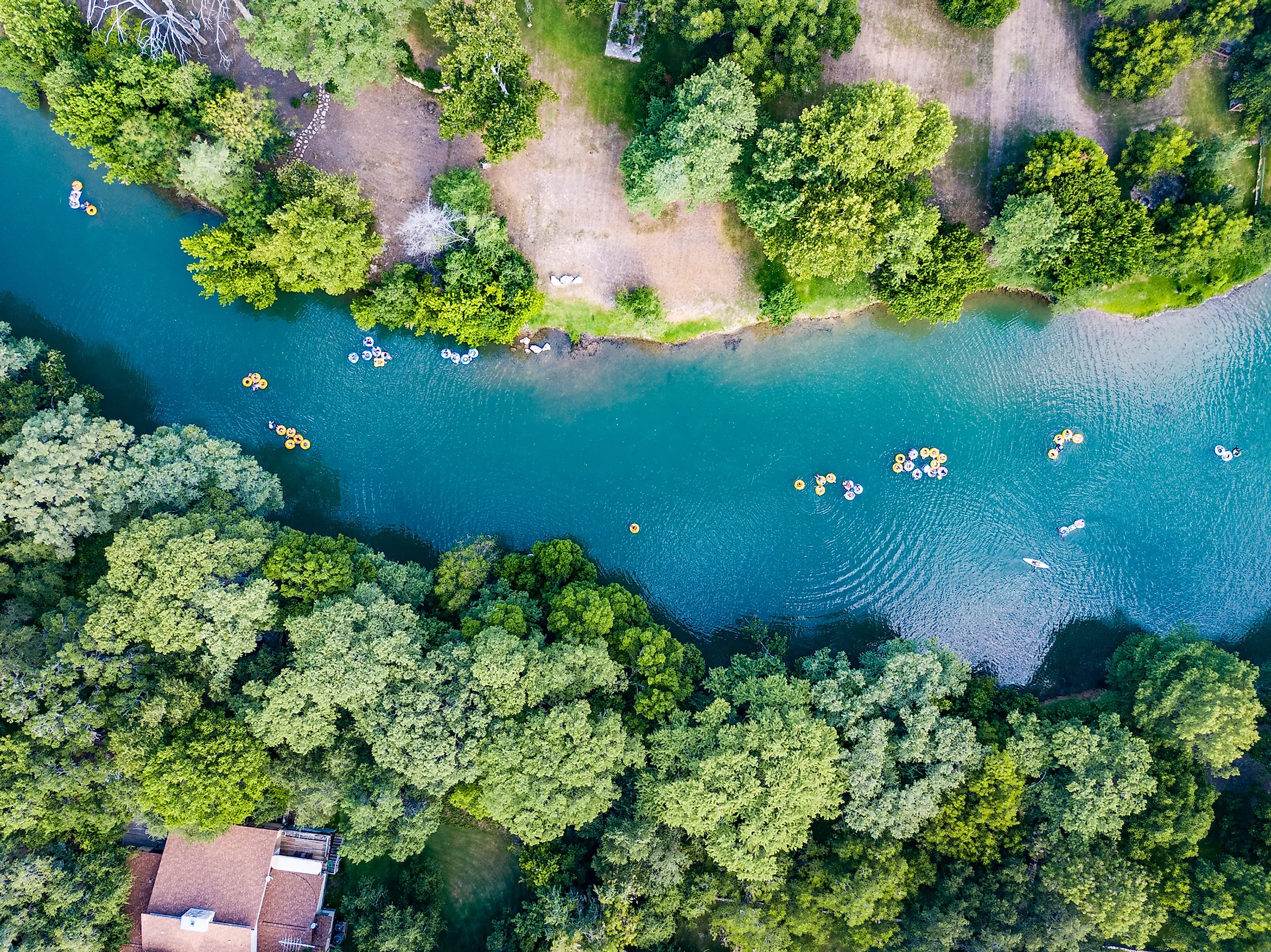
The Guadalupe River is a 370km long river that originates in the western portion of Kerr County in the US State of Texas. After flowing through several counties of Texas, the Guadalupe River finally drains into the San Antonio Bay, which is one of the principal estuaries that is situated along the state’s coast on the Gulf of Mexico. The Guadalupe River serves as a major tourist destination and offers many recreational activities such as canoeing, fly fishing, rafting, tubing, etc for its visitors.
Geography

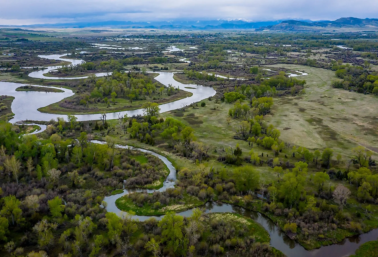
The Guadalupe River originates as two chief tributary forks in the western part of Kerr County. The North Fork Guadalupe River begins from the southern part of State Highway 41 and runs eastwards for about 35.4km finally joining with the South Fork Guadalupe River, close to the city of Hunt. The South Fork Guadalupe River rises about 4.8km southwest of the meeting point of State Highway 39 and Farm Road 187 and flows in the northeast direction for about 32.2km where it joins with the North Fork Guadalupe River. After the confluence of the North and South Fork Guadalupe Rivers, the Guadalupe River proper then flows in the southeast direction and passes through the counties of Kerr, Comal, DeWitt, Guadalupe, Gonzales, Kendall, and Victoria. The upper segment of the Guadalupe River is a comparatively smaller and faster stream that is situated within the Edwards Plateau ecoregion. In this part, there are numerous rapids, high limestone bluffs and trees like bald cypress, pecan, and mesquite. On the boundary between Comal and Kendall Counties, in the eastern part of the city of Boerne, the Guadalupe River flows through the Guadalupe State Park.

Portions of the upper and middle segments of the Guadalupe River are suitable for tubing, canoeing, kayaking, rafting, etc especially during the warm summer and spring months but the presence of many small waterfalls prevents navigation on the entire stretch of the Guadalupe River. The lower Guadalupe begins at the Canyon Lake reservoir in Texas Hill County. This reservoir has been created due to the construction of the Canyon Dam on the Guadalupe River. The 33.3 sq. km Canyon Lake reservoir serves as a popular tourist destination that offers many recreational opportunities for visitors. Here, the flow of the river is controlled by the Canyon Dam as well as by the amount of rainfall received by the area. In the city of New Braunfels, the Guadalupe River is joined by the Comal River, and about 3km to the west of the city of Gonzales, the Guadalupe River is joined by the San Marcos River. The Guadalupe River is joined by the San Antonio River in the northern part of the unincorporated community of Tivoli. Before emptying into the San Antonio Bay estuary, the Guadalupe River forms a delta and divides into two distributaries. Each of these distributaries then flows into the San Antonio Bay estuary via Guadalupe Bay. The Guadalupe River thus drains an area of 17,353 sq. km and has an average discharge volume of 34 cubic meters per second.

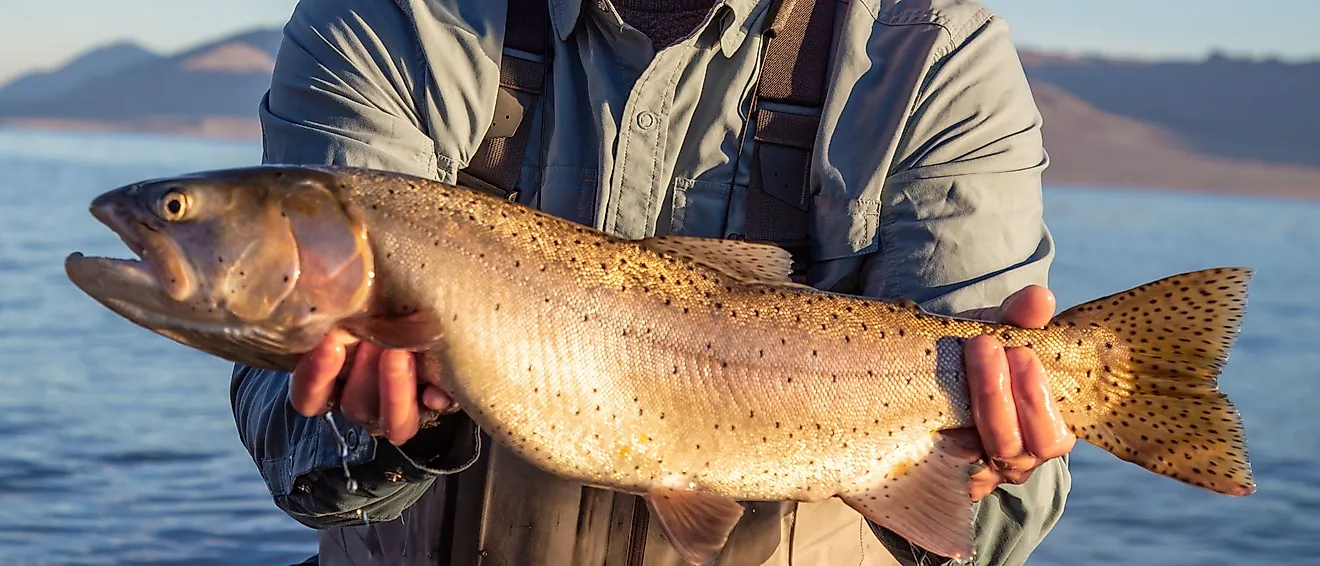
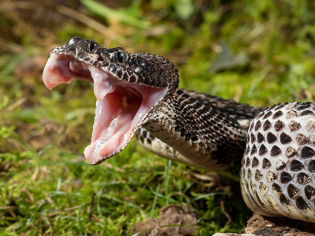
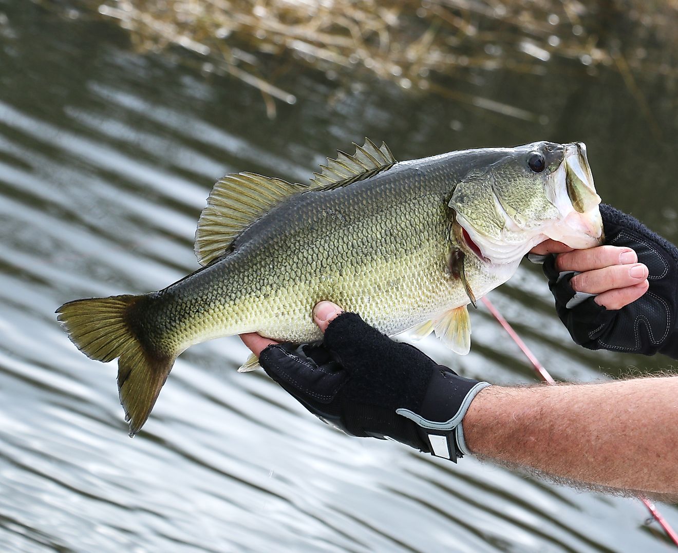
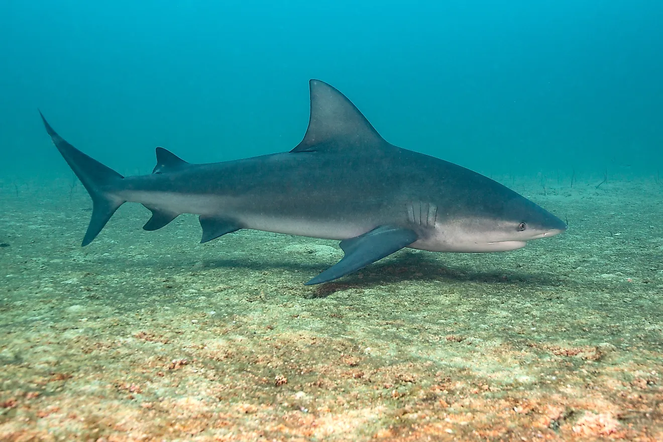
Some of the notable fishes that are found in the Guadalupe River include Guadalupe bass, brown trout, Texas cichlid, rainbow trout, largemouth bass, striped bass, smallmouth bass, and white bass. The many dams, spillways, and low head dams on the Guadalupe River provide ideal conditions for tailrace fishing.
Brief History

In 1689, the river was originally named by the Spanish explorer Alonso de Leon as “Nuestra Senora de Guadalupe”. From 1691 to 1693, Domingo Teran de Los Rios, who maintained a colony on the river, rechristened the river as “San Agustin”. However, most of the early explorers referred to the part of the Guadalupe River above its meeting with the Comal River as “San Ybon” and instead referred to the Comal River as “Guadalupe”. Archaeological excavations in the Guadalupe River Valley have revealed many artifacts dating from the Archaic Era, which prove that the area was inhabited by humans for several years. The early explorers encountered native people belonging to the Karankawa, Waco, and Tonkawa tribes. Nevertheless, these early inhabitants were gradually displaced by settlers from Europe, Mexico, and other parts of the United States. In the 1720s, the area was first settled by the Europeans. In 1824, the city of Victoria was established by Martin De Leon, while the city of Gonzales was established in 1825 by James Kerr. In 1845, a group of 228 pioneer immigrants led by the German Prince Carl of Solms-Braunfels established the city of New Braunfels, which became the first German settlement in the State of Texas. In the 1880s, the construction of railroads brought a large number of new residents to the area.
In 1920, the Guadalupe Waterpower Company started constructing numerous dams on the Guadalupe River to harness its waters for the generation of hydroelectric power. However, since the river is prone to serious flooding, the Guadalupe-Blanco River Authority was established by the State Legislature to manage the storage and distribution of water from the Guadalupe and Blanco Rivers. In 1958, a flood-control dam was constructed by the US Army Corps of Engineers on the Guadalupe River that led to the creation of the Canyon Lake reservoir. The power stations located in the middle and lower portions of the Guadalupe River are depended on the steady release of water from the Canyon Dam. In addition to this, several recreation facilities are available in both Canyon Lake and the Guadalupe River State Park that has attracted a stream of visitors to the area contributing greatly to the area’s economy.