6 Most Scenic Drives in West Virginia
West Virginia’s most scenic drives climb onto high ridgelines and plunge into the New River Gorge. They wind along river valleys shaped by coal towns and Civil War history. The Highland Scenic Highway runs the high country. Fayette Station Road squeezes down a one-lane descent to the river. The Midland Trail spans the state from west to east. Each of these six drives reveals splendid snapshots of West Virginia scenery.
Route 32

Another gem of the Potomac Highlands, Route 32 has its own treasure troves waiting to be discovered. Situated between the towns of Harman and Thomas, Route 32 offers awe-inspiring sights and attractions all its own. Visiting during the fall ensures gorgeous views of the changing leaves, though it is also the most popular time to drive the route. Roads can be slick in winter, especially at higher elevations. Expect light traffic and watch for wildlife, particularly at dawn and dusk.
Route 32 cuts through the high-elevation landscapes of the Potomac Highlands with a mix of open valley views and dense forest corridors. Heading south from Thomas, the road descends gradually toward Davis, with intermittent openings that reveal the broad expanse of Canaan Valley. The approach into the valley is one of the drive’s highlights, as the terrain shifts from enclosed forest to wide, marshy plains backed by distant ridges.
While you’re in Davis, it would be worth visiting Blackwater Falls State Park to see its spectacular waterfalls. They’re located at the end of an eight-mile-long gorge and plunge about five stories.
Coal Heritage Trail

This 187-mile route runs from Bluefield to Beckley via WV 52 and WV 16, tracing narrow river valleys and coal towns, with the road hugging steep hillsides and passing directly through small towns rather than bypassing them. The trail generally follows a corridor through southern West Virginia linking the two cities. Driving the trail provides visitors with a visual chronicle of the decades when coal was king, including national historic districts and vintage structures, such as miners’ homes, company stores and railroad yards.
This is a longer, more developed route with moderate traffic near towns. The road is suitable year-round, though summer heat can be noticeable in the lower elevations. Road conditions are generally good, with some narrow sections through older towns.
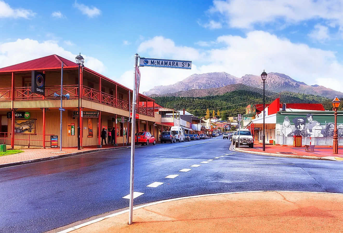
A notable stop along the route is Welch, a city that grew rapidly during the early 20th-century coal boom and later experienced economic decline as the industry contracted. If you’d like to enjoy everything that makes West Virginia unique then be sure to step into Tamarack, a marketplace for most everything you may need, including handcrafts, local cuisine, music and fine art.
Fayette Station Road

Officially open to the public over a century ago, the eight-mile Fayette Station Road has been consistently wowing travelers with its magnificent views of the New River Gorge and rugged West Virginian wilderness. This loop route near Fayetteville descends steeply from the canyon rim to the New River and back via a narrow, one-lane section with tight curves and dramatic elevation change. The descent toward the river includes sharp turns and limited visibility, giving the drive a more technical feel than other routes on this list.
When visiting it’s best to begin at the Canyon Rim Visitor Center and then turn onto US 19. From there turn right to Lansing-Edmond Road/Truck 82 and eventually you’ll turn rightward again onto Fayette Station Road which becomes a one-way, single-lane road. The road then twists and turns before finally returning to US 19 next to Fayetteville.
During your drive you’ll cross the Fayette Station Bridge, which spans the New River at water level beneath the much higher New River Gorge Bridge, and opens up a sweeping view of the gorge from below. There’s also a downloadable audio tour available from the National Park Service website which immerses you even deeper into the local history. Note that the road only accepts vehicles under 12 feet tall. Larger cars, recreational vehicles, and trailers are not advised.
Staunton-Parkersburg Turnpike

The historic Staunton-Parkersburg Turnpike is accessed through a combination of modern highways, including US 250, US 33, and sections of WV 47, which together trace portions of the original route across the mountains of West Virginia. This is a historic route crossing west-central West Virginia, offering a driving path through mountain terrain associated with key Civil War campaigns.
For example, Rich Mountain Battlefield was the site of a significant Union victory during the early Civil War, an engagement that helped secure Union control in western Virginia during the 1861 campaign. This victory was part of a sequence of events that eventually led to the creation of West Virginia as a separate state in 1863.
Those more inclined to partake in natural scenery should stop at Audra State Park, 355 acres of beautiful country with camping, boating, hiking, picnicking, swimming, and biking. Another park worth stopping by is Blennerhassett State Park at the end of the turnpike in Parkersburg. There, a one-of-a-kind Palladian mansion and museum sits open for tours alongside other recreational options.
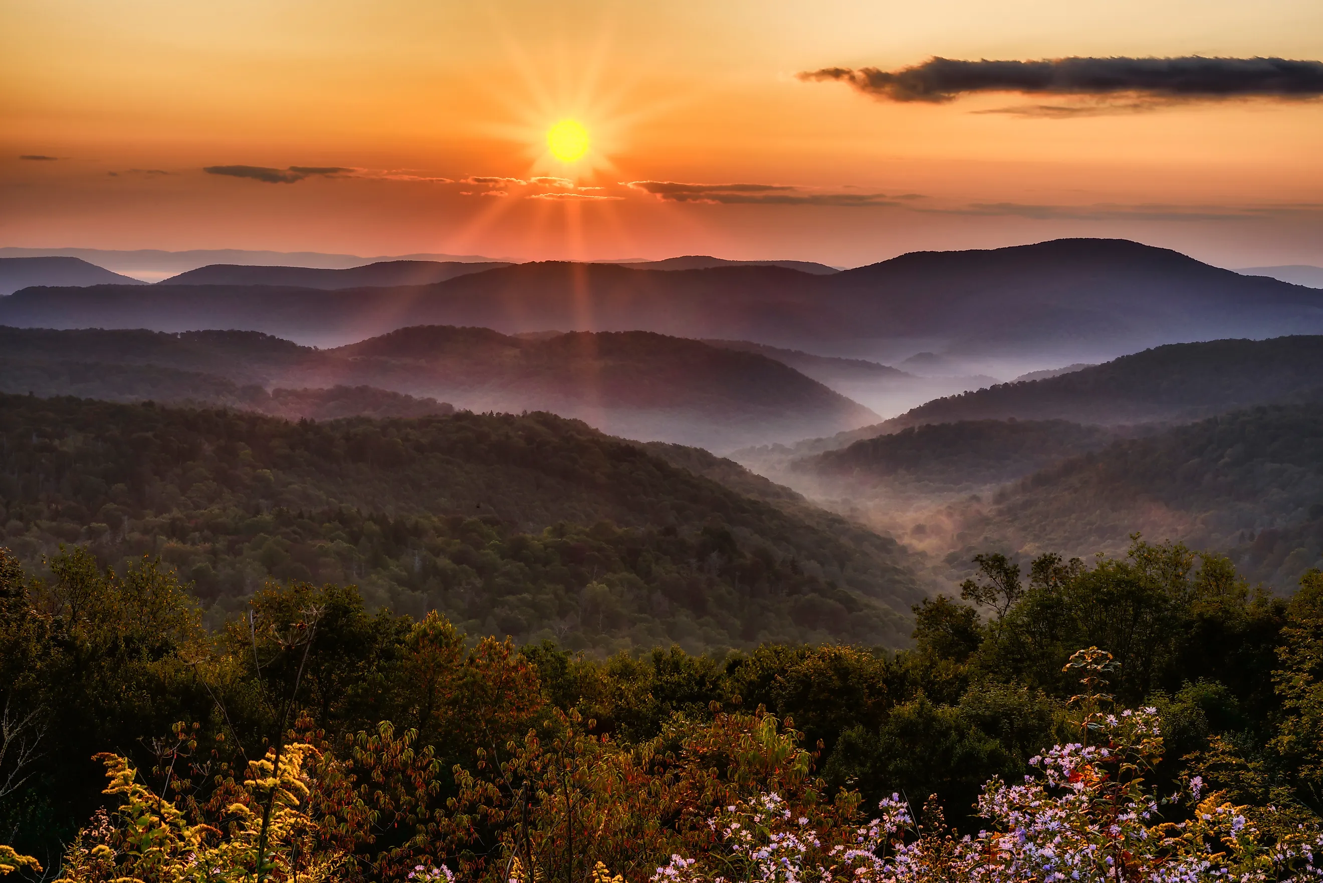
The drive itself alternates between higher mountain passes and lower river valleys, with frequent elevation changes. The route primarily passes through forested mountain terrain and rural valleys, with sections of the drive featuring ridge crossings while other sections provide occasional distant river views in lower-lying areas. The state’s forests are on full display along the way.
Midland Trail National Scenic Byway

This approximately 117-mile route follows US 60 across West Virginia from the Kentucky border in the west to the Virginia border in the east, offering a continuous cross-section of the state’s rivers, forests, and mountain towns. The Midland Trail National Scenic Byway fully reveals the natural wonder that is West Virginia, as well as the state capital of Charleston, providing a great diversion to explore West Virginia’s more urban delights.
Approximately midway, the route climbs toward Hawks Nest, where overlooks provide dramatic views of the river below, one of the most photographed scenes along the byway. Hawks Nest State Park’s 270 acres gives travelers opportunities for swimming, hiking, golf, fishing, rafting, boating, historical sites, and museums. And once you’ve ended your long trip, rest for a spell at The Greenbrier in White Sulphur Springs, a historic luxury resort that dates back to the late 18th century and has long served travelers in the region.
This is one of the most accessible routes in the state, with mostly good road conditions and moderate traffic near Charleston. It can be driven year-round, though fall foliage dramatically enhances the experience.
Highland Scenic Highway

Of all six routes, Highland Scenic Highway has arguably the best views in a state already full of them. This 43-mile highway provides unparalleled vistas of the many hills in the Potomac Highlands; it also hugs much of the Monongahela National Forest. The route runs from Richwood to US 219 via WV 55, WV 39, and WV 150, climbing into the high elevations of the Potomac Highlands with long stretches of ridge-top driving and forested overlooks.
Elevations along the route can exceed 4,000 feet, making it one of the higher-elevation driving corridors in West Virginia, with cooler temperatures and expansive ridge-top views. Unlike valley roads, this route often places you above the landscape, with pull-offs revealing layers of mountains fading into the distance.

Starting in the town of Richwood and driving east on State Road 55, you’ll find yourself passing by Summit Lake, a superb spot for fishing and camping. Further down the highway is Falls of Hills Creek, an area totaling 114 acres with waterfalls measuring 25 feet, 45 feet and 63 feet, respectively. Be sure to bring a camera. Finally, continue east to visit the Cranberry Glades Botanical Area before reaching the end of the highway at the beginning of US 219.
Construction of the Highland Scenic Highway officially began in 1965 and was completed in 1981, eventually becoming part of the National Scenic Byway system in 1996. The highway is best driven from late spring through fall; sections can close in winter due to snow and ice. Traffic is typically light, and the road is fully paved and includes long, gentle curves rather than tight switchbacks, making it suitable for most vehicles.
Country Roads, Country Plans
If you’re planning to explore these routes, give yourself the gift of time and flexibility rather than trying to rush through them. Many of the most memorable moments of West Virginia’s scenic drives arise from unplanned pull-offs and slow meandering rather than a hectic, fixed itinerary.
Aim for late spring through fall for the most reliable conditions, especially for higher-elevation roads where winter weather can be unpredictable. Pack for changing temps, keep your fuel topped off in more remote stretches, and expect limited services between towns on some of the longer scenic drives. And remember: These routes are designed for the journey as much as the destination.