6 Most Alligator-Filled Swamps In Mississippi
Mississippi's alligator country is shaped by the state’s coastal marshes, interior Delta, and long, slow rivers. The Pascagoula River Basin remains one of the last major unimpeded river systems in the lower 48 states, and its backchannels, coastal marshes, and cypress swamps supply abundant prey and secluded nesting habitat for American alligators. The low-lying lands of the Yazoo River and the Sunflower River create oxbow lakes and flooded timber that raise and sustain large juveniles and adults within the Delta’s agricultural landscape.
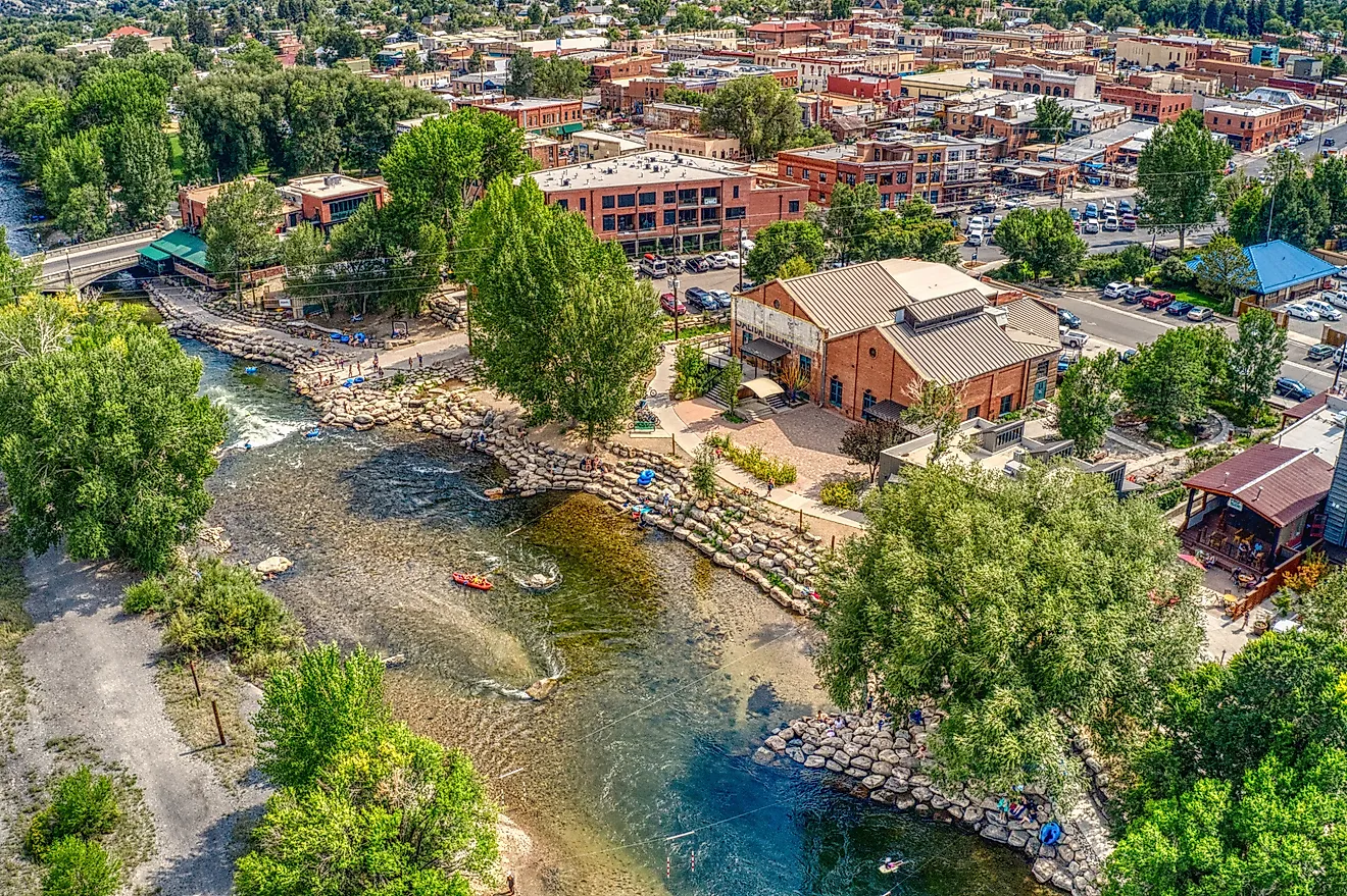
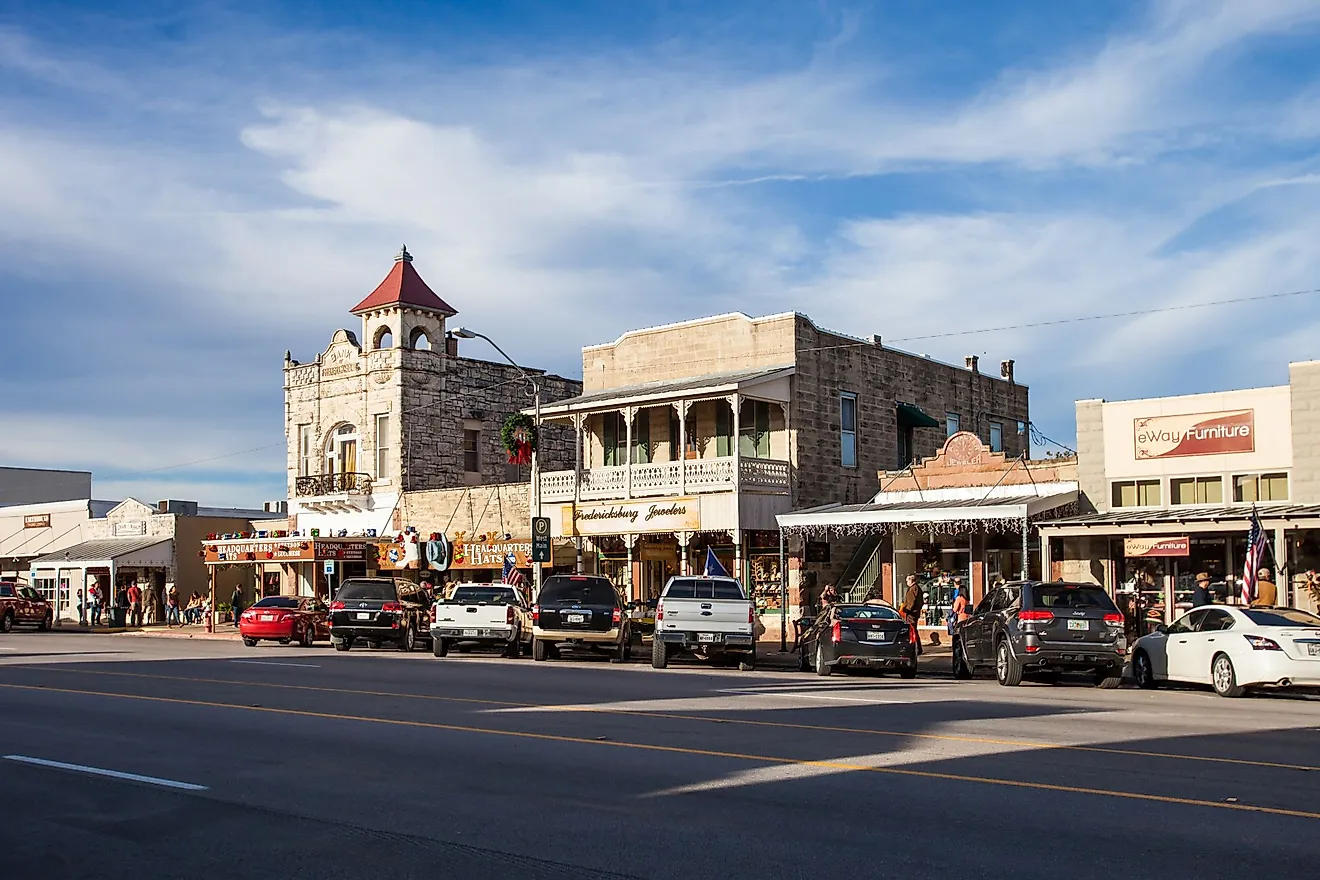
Near the capital, the Ross Barnett Reservoir on the Pearl River offers accessible shoreline sightings where angling and boating overlap with alligator habitat. At a smaller scale, Alligator Lake at Leroy Percy State Park provides boardwalk vantage points for reliable viewing, and the Tchoutacabouffa River corridor north of Biloxi threads forested swamps into an otherwise coastal region. Learn more about some of the nation’s most alligator-rich wetlands.
Pascagoula River Basin

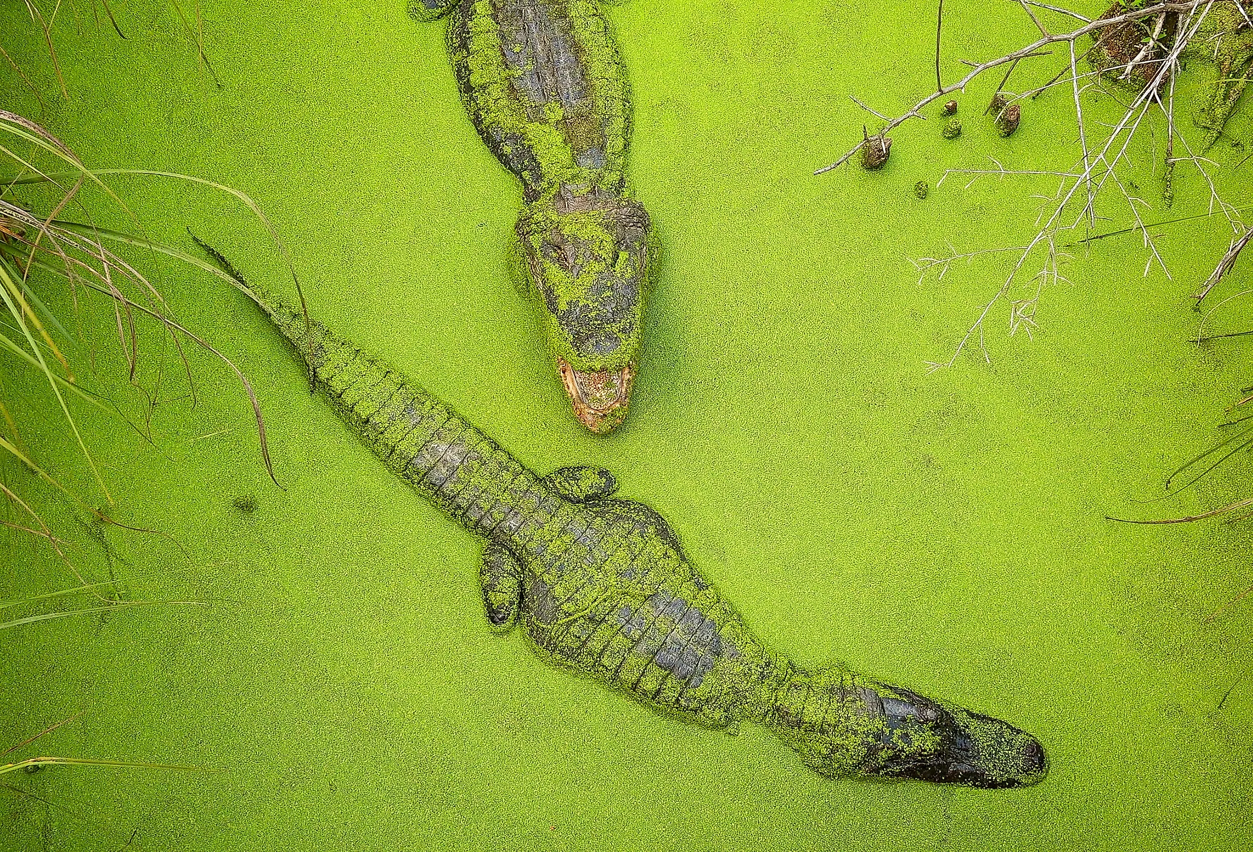
The Pascagoula River Basin is one of the most alligator-rich places in Mississippi because it combines an expansive drainage with abundant food and secluded bayous. The Pascagoula system remains notable for being one of the last unimpeded major river systems in the lower 48 states, and its network of slow channels, backwaters, and coastal marshes provides alligators with both feeding grounds and nesting habitat. Alligators favor the basin’s freshwater marshes and cypress swamps, where fish, turtles, and waterfowl are plentiful.

The basin supports a disproportionately high share of the state’s population, and wildlife agencies monitor the area for nuisance encounters and conservation outcomes. For visitors, early morning and late afternoon are the times when alligators are most likely to be sunning themselves at the water’s edge, and established observation points and boat-based tours offer safe ways to see them.
Yazoo River and Sunflower River System

The Yazoo River, together with tributaries such as the Sunflower River, represents the western Delta’s primary alligator stronghold. Slow-moving water, oxbow lakes, and flooded bottomlands create ideal rearing areas for juveniles and feeding grounds for large adults. The Yazoo basin has produced some of Mississippi’s most publicized alligator encounters; a record-setting harvest in recent years occurred on the Sunflower River, underscoring the capacity of Delta waterways to sustain large animals. Alligator hunting in the Yazoo system is regulated through the state permitting process, which aims to balance recreational harvest with long-term population stability.

For wildlife watchers, the Delta’s broad, low-lying marshes reward patient observation, while anglers and paddlers should remain alert near overhanging banks and quiet backwaters. The value of the Yazoo-Sunflower complex to regional biodiversity extends beyond gators, because the same wetlands support large fish runs, wading birds, and floodplain communities.
Alligator Lake at Leroy Percy State Park

Alligator Lake, inside Leroy Percy State Park, is a compact but famously gator-populated oxbow lake where visitors can reliably observe alligators from boardwalks and an observation tower. The park’s managed access and interpretive infrastructure allow people to watch nesting behavior, sunning adults, and juvenile basking without encroaching on the animals’ space. The lake’s cypress-lined shore and sheltered coves provide calm water and places for alligators to ambush prey, while the adjacent forested habitat supports nesting sites and cover.
Because the park serves as both a recreation area and a wildlife management zone, signage and ranger guidance clearly indicate how to stay safe: maintain a respectful distance, refrain from feeding wildlife, and keep pets leashed near water. Alligator Lake offers a lens into how public parks can enable consistent wildlife viewing opportunities while supporting conservation and visitor education in the state.
Tchoutacabouffa River and De Soto National Forest Wetlands

The Tchoutacabouffa River, flowing north of Biloxi through sections of De Soto National Forest, supports frequent alligator sightings along slow stretches and associated ponds. The river’s name comes from an Indigenous term, and its forested corridor contains a mix of bottomland hardwoods and cypress swamp pockets that create quiet, protected water where alligators feed and nest. Although development near the coast and along some reaches reduces the number of very large individuals, the Tchoutacabouffa remains a hotspot for people who are scouting wildlife or pursuing angling opportunities in sheltered pools.
Forest trails and boardwalks provide vantage points for photographers and naturalists. Visitors should be aware that urban-wildland interfaces can produce “nuisance” gator situations if animals become habituated to humans, which is why state agencies emphasize reporting and removal of problem individuals.
Ross Barnett Reservoir

The Ross Barnett Reservoir, commonly called “the Rez,” lies on the Pearl River and functions as a large, accessible alligator habitat for central Mississippi. The reservoir’s extensive shoreline, backwater bays, and connected marshes create pockets of suitable gator habitat even as recreational boating and shoreline development concentrate human use. The reservoir has a history of notable captures and frequent sightings, and it demonstrates how alligators coexist with heavy human recreation when people respect wildlife regulations and safe viewing practices.
Anglers and paddlers on the Rez report regular sightings of sunning alligators on fallen logs and sandy banks, making the reservoir a popular place for people who want a reliable chance to observe these animals without venturing to remote swamps.
Pearl River and Floodplain Swamps

The Pearl River and its floodplain swamps supply slow-moving channels, oxbow ponds, and backwater marshes where alligators thrive from central Mississippi to the Gulf Coast. The river corridor is biologically diverse, supporting species such as the threatened Gulf sturgeon, while also providing abundant prey for alligators. Recreational areas, such as LeFleur Bluff State Park and Pelahatchie Bay, provide managed access for fishing, paddling, and wildlife observation, and the river’s long seasonal cycle of flooding and recession helps form and maintain the swamps and side-channel habitat that gators favor.
State wildlife surveys and long-term monitoring document how alligator distribution shifts with water levels and temperature, and managers use those data to set harvest zones and inform the public about safety near water. The Pearl’s combination of accessible viewing sites and rich swamp habitat makes it a go-to river for encountering American alligators in Mississippi.
A Living Landscape of Gators
Mississippi’s alligator population has recovered and stabilized thanks to decades of wildlife management, careful harvest regulation, and habitat protection. The state’s freshwater swamps, oxbow lakes, marshes, and slow rivers supply the sheltered water, prey, and nesting sites alligators need. Visitors who want to see gators should plan to look at dawn or dusk from established observation points or with guided operators, obey posted warnings, and never feed or harass wildlife. Whether the interest is scientific, recreational, or photographic, Mississippi’s swamps offer accessible and dramatic glimpses of a species that is both culturally important and ecologically influential.