Where is Taylor County, West Virginia?
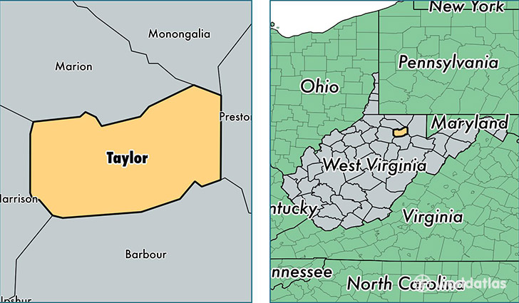
Taylor County is a county equivalent area found in West Virginia, USA. The county government of Taylor is found in the county seat of Grafton.
With a total 455.01 sq. km of land and water area, Taylor County, West Virginia is the 3053rd largest county equivalent area in the United States. Home to 17,069 people, Taylor County has a total 7478 households earning 39536 on average per year.
Taylor County, West Virginia - Quick Facts
| FIPS Code | 54091 |
| Area Codes | 304 |
| Time Zone | EST |
| Major Cities | Grafton (population: 11,198), Flemington (population: 2,074), Thornton (population: 1,141), Rosemont (population: 319), Simpson (population: 98) |
| Land Area | 6,590 sq miles |
| Water Area | 173 sq miles |
| Household Income | $39,536 |
| Housing Units | 7,478 |
| Median Home Value | $89,900 |
| High School Grads | 86% of population |
| Holders of Bachelors Degrees | 16% of population |
| Retail Spending | $5,662 per capita |
This page was last updated on June 30, 2016.