Where is Preston County, West Virginia?
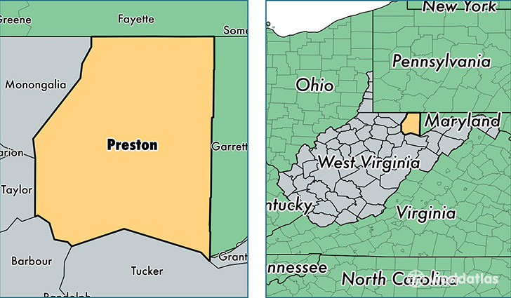
Preston County is a county equivalent area found in West Virginia, USA. The county government of Preston is found in the county seat of Kingwood.
With a total 1,687.09 sq. km of land and water area, Preston County, West Virginia is the 1573rd largest county equivalent area in the United States. Home to 33,788 people, Preston County has a total 14975 households earning 45413 on average per year.
Preston County, West Virginia - Quick Facts
| FIPS Code | 54077 |
| Area Codes | 304 |
| Time Zone | EST |
| Major Cities | Bruceton Mills (population: 7,129), Kingwood (population: 5,774), Terra Alta (population: 4,259), Tunnelton (population: 3,672), Masontown (population: 2,579), Reedsville (population: 2,398), Albright (population: 1,853), Independence (population: 1,392), Rowlesburg (population: 1,227), Aurora (population: 1,087) |
| Land Area | 13,046 sq miles |
| Water Area | 649 sq miles |
| Household Income | $45,413 |
| Housing Units | 14,975 |
| Median Home Value | $106,300 |
| High School Grads | 83% of population |
| Holders of Bachelors Degrees | 13% of population |
| Retail Spending | $7,285 per capita |
| Food & Accomodation Sales | $12,240 per capita |
This page was last updated on June 30, 2016.