Where is Rockbridge County, Virginia?
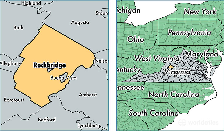
Rockbridge County is a county equivalent area found in Virginia, USA.
With a total 1,556.51 sq. km of land and water area, Rockbridge County, Virginia is the 1740th largest county equivalent area in the United States. Home to 22,327 people, Rockbridge County has a total 11183 households earning 48313 on average per year.
Rockbridge County, Virginia - Quick Facts
| FIPS Code | 51163 |
| Area Codes | 540 |
| Time Zone | EST |
| Major Cities | Raphine (population: 2,275), Glasgow (population: 2,148), Fairfield (population: 1,932), Natural Bridge Station (population: 1,394), Goshen (population: 1,256), Natural Bridge (population: 1,060), Rockbridge Baths (population: 925), Vesuvius (population: 588), Brownsburg (population: 41) |
| Land Area | 8,620 sq miles |
| Water Area | 598 sq miles |
| Household Income | $48,313 |
| Housing Units | 11,183 |
| Median Home Value | $179,500 |
| High School Grads | 84% of population |
| Holders of Bachelors Degrees | 23% of population |
| Retail Spending | $15,786 per capita |
| Food & Accomodation Sales | $49,186 per capita |
This page was last updated on June 30, 2016.