Where is Botetourt County, Virginia?
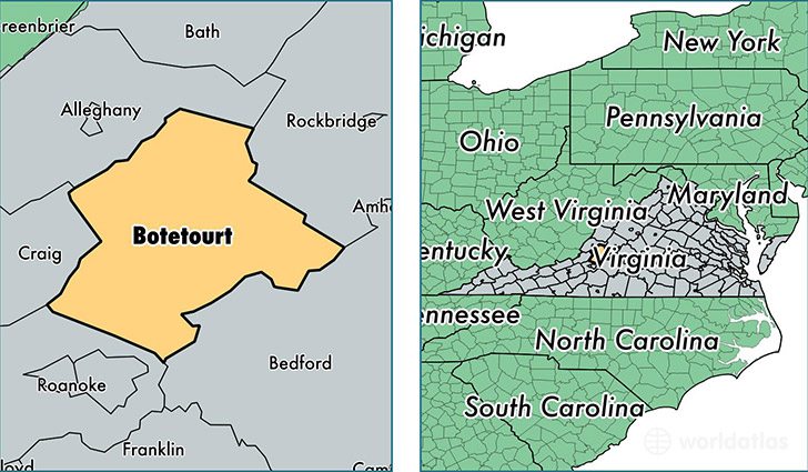
Botetourt County is a county equivalent area found in Virginia, USA. The county government of Botetourt is found in the county seat of Fincastle.
With a total 1,413.9 sq. km of land and water area, Botetourt County, Virginia is the 2018th largest county equivalent area in the United States. Home to 33,100 people, Botetourt County has a total 14627 households earning 65935 on average per year.
Botetourt County, Virginia - Quick Facts
| FIPS Code | 51023 |
| Area Codes | 540 |
| Time Zone | EST |
| Major Cities | Troutville (population: 8,819), Blue Ridge (population: 4,982), Buchanan (population: 4,884), Fincastle (population: 4,781), Daleville (population: 2,587), Eagle Rock (population: 2,182), Cloverdale (population: 932), Oriskany (population: 8) |
| Land Area | 12,780 sq miles |
| Water Area | 541 sq miles |
| Household Income | $65,935 |
| Housing Units | 14,627 |
| Median Home Value | $213,100 |
| High School Grads | 90% of population |
| Holders of Bachelors Degrees | 25% of population |
| Retail Spending | $7,661 per capita |
This page was last updated on June 30, 2016.