Where is Alleghany County, Virginia?
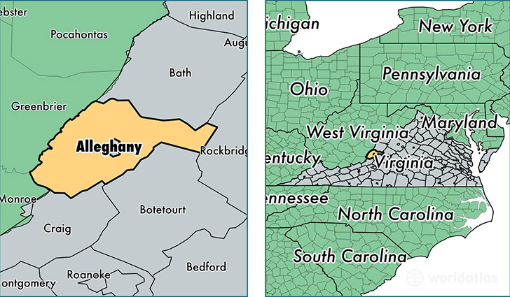
Alleghany County is a county equivalent area found in Virginia, USA.
With a total 1,162.25 sq. km of land and water area, Alleghany County, Virginia is the 2348th largest county equivalent area in the United States. Home to 15,820 people, Alleghany County has a total 8016 households earning 44848 on average per year.
Alleghany County, Virginia - Quick Facts
| FIPS Code | 51005 |
| Area Codes | 540 |
| Time Zone | EST |
| Major Cities | Clifton Forge (population: 6,307), Selma (population: 543), Iron Gate (population: 375), Low Moor (population: 269) |
| Land Area | 6,108 sq miles |
| Water Area | 446 sq miles |
| Household Income | $44,848 |
| Housing Units | 8,016 |
| Median Home Value | $114,600 |
| High School Grads | 83% of population |
| Holders of Bachelors Degrees | 16% of population |
| Retail Spending | $7,491 per capita |
| Food & Accomodation Sales | $11,029 per capita |
| Universities and Colleges | Dabney S Lancaster Community College |
This page was last updated on June 30, 2016.