Where is Surry County, Virginia?
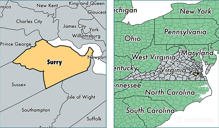
Surry County is a county equivalent area found in Virginia, USA. The county government of Surry is found in the county seat of Surry.
With a total 803.69 sq. km of land and water area, Surry County, Virginia is the 2825th largest county equivalent area in the United States. Home to 6,790 people, Surry County has a total 3473 households earning 47292 on average per year.
Surry County, Virginia - Quick Facts
| FIPS Code | 51181 |
| Area Codes | 757 |
| Time Zone | EST |
| Major Cities | Surry (population: 2,473), Spring Grove (population: 2,142), Elberon (population: 904), Dendron (population: 718), Claremont (population: 340) |
| Land Area | 2,622 sq miles |
| Water Area | 279 sq miles |
| Household Income | $47,292 |
| Housing Units | 3,473 |
| Median Home Value | $161,600 |
| High School Grads | 78% of population |
| Holders of Bachelors Degrees | 17% of population |
| Retail Spending | $1,780 per capita |
This page was last updated on June 30, 2016.