Where is Campbell County, Virginia?
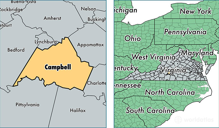
Campbell County is a county equivalent area found in Virginia, USA. The county government of Campbell is found in the county seat of Rustburg.
With a total 1,313.97 sq. km of land and water area, Campbell County, Virginia is the 2146th largest county equivalent area in the United States. Home to 54,885 people, Campbell County has a total 24905 households earning 47162 on average per year.
Campbell County, Virginia - Quick Facts
| FIPS Code | 51031 |
| Area Codes | 434 |
| Time Zone | EST |
| Major Cities | Rustburg (population: 9,703), Evington (population: 7,303), Altavista (population: 5,726), Concord (population: 4,777), Gladys (population: 4,018), Brookneal (population: 3,207), Lynch Station (population: 1,993) |
| Land Area | 21,191 sq miles |
| Water Area | 504 sq miles |
| Household Income | $47,162 |
| Housing Units | 24,905 |
| Median Home Value | $150,300 |
| High School Grads | 84% of population |
| Holders of Bachelors Degrees | 17% of population |
| Retail Spending | $9,742 per capita |
| Food & Accomodation Sales | $32,679 per capita |
This page was last updated on June 30, 2016.