Where is Amherst County, Virginia?
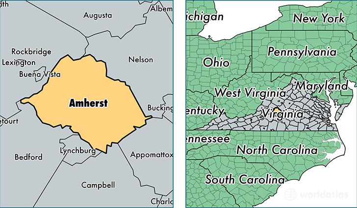
Amherst County is a county equivalent area found in Virginia, USA. The county government of Amherst is found in the county seat of Amherst.
With a total 1,240.22 sq. km of land and water area, Amherst County, Virginia is the 2249th largest county equivalent area in the United States. Home to 32,041 people, Amherst County has a total 13995 households earning 44945 on average per year.
Amherst County, Virginia - Quick Facts
| FIPS Code | 51009 |
| Area Codes | 434 |
| Time Zone | EST |
| Major Cities | Madison Heights (population: 16,410), Amherst (population: 10,582), Monroe (population: 3,980), Sweet Briar (population: 679), Clifford (population: 99) |
| Land Area | 12,371 sq miles |
| Water Area | 474 sq miles |
| Household Income | $44,945 |
| Housing Units | 13,995 |
| Median Home Value | $148,700 |
| High School Grads | 79% of population |
| Holders of Bachelors Degrees | 17% of population |
| Retail Spending | $9,702 per capita |
| Food & Accomodation Sales | $23,765 per capita |
This page was last updated on June 30, 2016.