Where is Rappahannock County, Virginia?
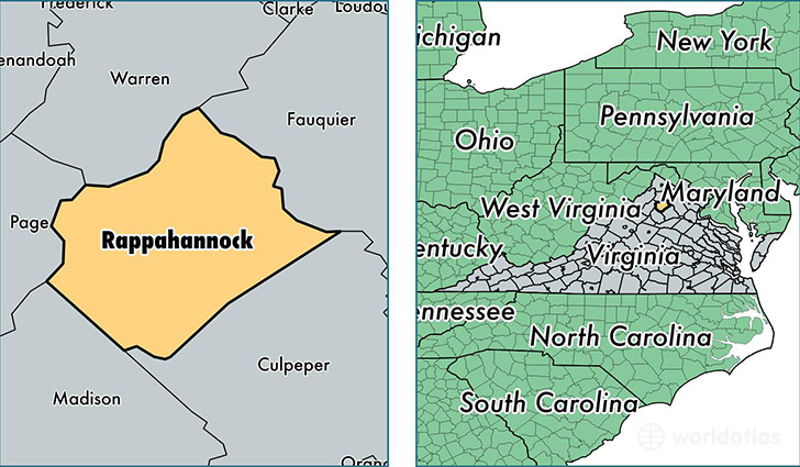
Rappahannock County is a county equivalent area found in Virginia, USA. The county government of Rappahannock is found in the county seat of Washington.
With a total 691.95 sq. km of land and water area, Rappahannock County, Virginia is the 2907th largest county equivalent area in the United States. Home to 7,361 people, Rappahannock County has a total 3917 households earning 56438 on average per year.
Rappahannock County, Virginia offers the following attraction to visitors: Shenandoah NP
Rappahannock County, Virginia - Quick Facts
| FIPS Code | 51157 |
| Area Codes | 540 |
| Time Zone | EST |
| Major Cities | Sperryville (population: 1,328), Washington (population: 1,144), Castleton (population: 862), Chester Gap (population: 677), Flint Hill (population: 644), Huntly (population: 537), Woodville (population: 352) |
| Land Area | 2,842 sq miles |
| Water Area | 266 sq miles |
| Household Income | $56,438 |
| Housing Units | 3,917 |
| Median Home Value | $394,800 |
| High School Grads | 83% of population |
| Holders of Bachelors Degrees | 32% of population |
| Retail Spending | $3,042 per capita |
| Food & Accomodation Sales | $19,953 per capita |
This page was last updated on June 30, 2016.