Where is Stafford County, Virginia?
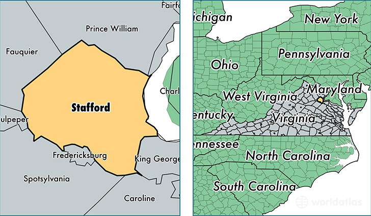
Stafford County is a county equivalent area found in Virginia, USA. The county government of Stafford is found in the county seat of Stafford.
With a total 725.01 sq. km of land and water area, Stafford County, Virginia is the 2892nd largest county equivalent area in the United States. Home to 139,992 people, Stafford County has a total 45475 households earning 97110 on average per year.
Stafford County, Virginia - Quick Facts
| FIPS Code | 51179 |
| Area Codes | 703,540 |
| Time Zone | EST |
| Major Cities | Stafford (population: 80,362), Fredericksburg (population: 51,994) |
| Land Area | 54,051 sq miles |
| Water Area | 269 sq miles |
| Household Income | $97,110 |
| Housing Units | 45,475 |
| Median Home Value | $299,300 |
| High School Grads | 93% of population |
| Holders of Bachelors Degrees | 36% of population |
| Retail Spending | $7,701 per capita |
| Food & Accomodation Sales | $140,309 per capita |
This page was last updated on June 30, 2016.