Where is Warren County, North Carolina?
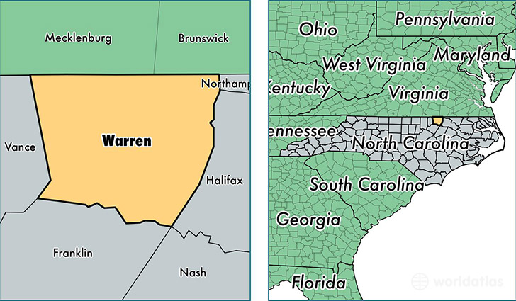
Warren County is a county equivalent area found in North Carolina, USA. The county government of Warren is found in the county seat of Warrenton.
With a total 1,149.34 sq. km of land and water area, Warren County, North Carolina is the 2371st largest county equivalent area in the United States. Home to 20,231 people, Warren County has a total 11659 households earning 34285 on average per year.
Warren County, North Carolina - Quick Facts
| FIPS Code | 37185 |
| Area Codes | 252 |
| Time Zone | EST |
| Major Cities | Warrenton (population: 8,220), Norlina (population: 4,914), Macon (population: 1,924), Ridgeway (population: 199) |
| Land Area | 7,811 sq miles |
| Water Area | 429 sq miles |
| Household Income | $34,285 |
| Housing Units | 11,659 |
| Median Home Value | $98,300 |
| High School Grads | 77% of population |
| Holders of Bachelors Degrees | 14% of population |
| Retail Spending | $3,222 per capita |
| Food & Accomodation Sales | $5,653 per capita |
This page was last updated on June 30, 2016.